
Directions
From Shelbyville, Illinois, go 4.5 miles north on State Route 128 to County Road 1750 N. Turn right and drive 0.9 miles to County Road 1900 E, then make a left and go 0.35 mile. Turn right onto County Road 1785 N and continue 2.5 miles to County Road 2150 E. Turn right and go 0.7 mile to County Road 1725 N, then take a left and travel 0.25 mile to County Road 2175 E. Turn right and continue 0.7 mile to the campground.
Phone
217-774-3951
Activities
BOATING, CAMPING, FISHING, HIKING, PICNICKING, VISITOR CENTER, DAY USE AREA
Keywords
LOPO,LAKE SHELBYVILLE
Related Link(s)
Illinois State Road Conditions
Overview
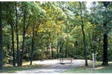
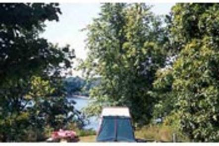
Lone Point is a secluded campground that sits on the western shore of Lake Shelbyville in the heart of central Illinois.
This facility has a variety of campsites that can accommodate large and small groups, as well as individuals. The lake and surrounding land offer outdoor activities for people of all ages, including fishing, swimming, picnicking and simply relaxing.
Recreation
Lake Shelbyville offers a multitude of fishing opportunities for catfish, crappie, largemouth bass, muskie, walleye, white bass and bluegill. Visitors have access to a multi-lane boat ramp and courtesy dock at the adjacent Lone Point Day Use Area.
For those without a boat, several ponds with farmed fish are available around the lake.
Hunting areas located within a short drive offer numerous game species, including quail, rabbit, pheasant, deer, dove, turkey, waterfowl and woodcock.
Hikers can explore the lake shore using a number of trails, including the 11-mile Chief Illini backpacking trail, which begins nearby and runs along the edge of the lake.
Facilities
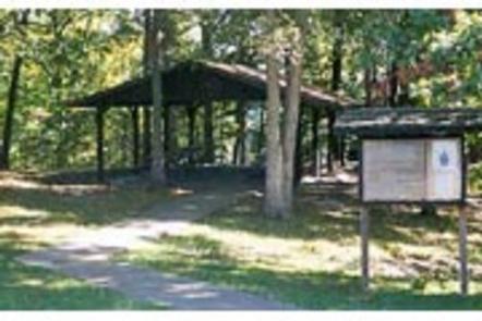
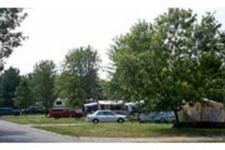
Lone point offers a separate area of camping for large groups of up to 80 people. The group camp area consists of 10 paved electric sites which can accommodate a total of 10 RVs and 30 tents, or 40 tents alone. The group area also provides a picnic shelter and water hydrant.
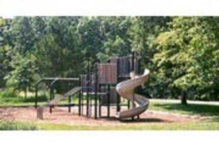
The facility provides amenities like flush toilets, showers, a playground, dump station and boat ramp.
Natural Features
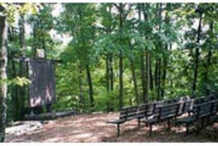
The Lone Point area is heavily forested with plenty of shade. Oak and hickory are the lake region’s dominant tree species. Foliage turns a variety of red, orange, purple and yellow each fall, while prairie flowers dot the landscape in spring and summer.
Numerous species of songbirds, shorebirds, waterfowl and raptors inhabit the lake area, as do mammals such as cottontail rabbit, white-tail deer, gray and fox squirrel, muskrat and mink.
Nearby Attractions
Wolf Creek State Park, Woods Lake Waterfowl Refuge and Okaw Bluff Wetlands Complex are popular locations for wildlife watching, birding and hunting near Lake Shelbyville.