MILL CREEK CAMPING, OH Campground Reservation, Info, Images, Map, Directions

MILL CREEK CAMPING, Ohio Campground Images, Info & Reservations

Directions

From I-76, take Exit 54 and go south 5.5 miles on State Route 534 to U.S. Route 224 in Berlin Center. Turn right (west) onto U.S. Route 224 and go about 2 miles to Bedell Road. Turn left (south) on Bedell Road and go about 3/4 of a mile to the campground.

Phone

330-547-8180

Activities

BIKING, BOATING, CAMPING, INTERPRETIVE PROGRAMS, FISHING, HIKING, WATER SPORTS, DAY USE AREA, SWIMMING SITE

Keywords

BERLIN LAKE,BERLIN LAKE CAMPGROUND,MILL CREEK RECREATION AREA,MILL CREEK CAMPGROUND

Related Link(s)

Rec Area Info & Images

Ohio State Road Conditions

Ohio State Tourism

Overview

Mill Creek Recreation Area is an ideal family campground located on Berlin Lake in northeastern Ohio. Visitors enjoy boating, fishing, hunting, picnicking and camping.

Recreation

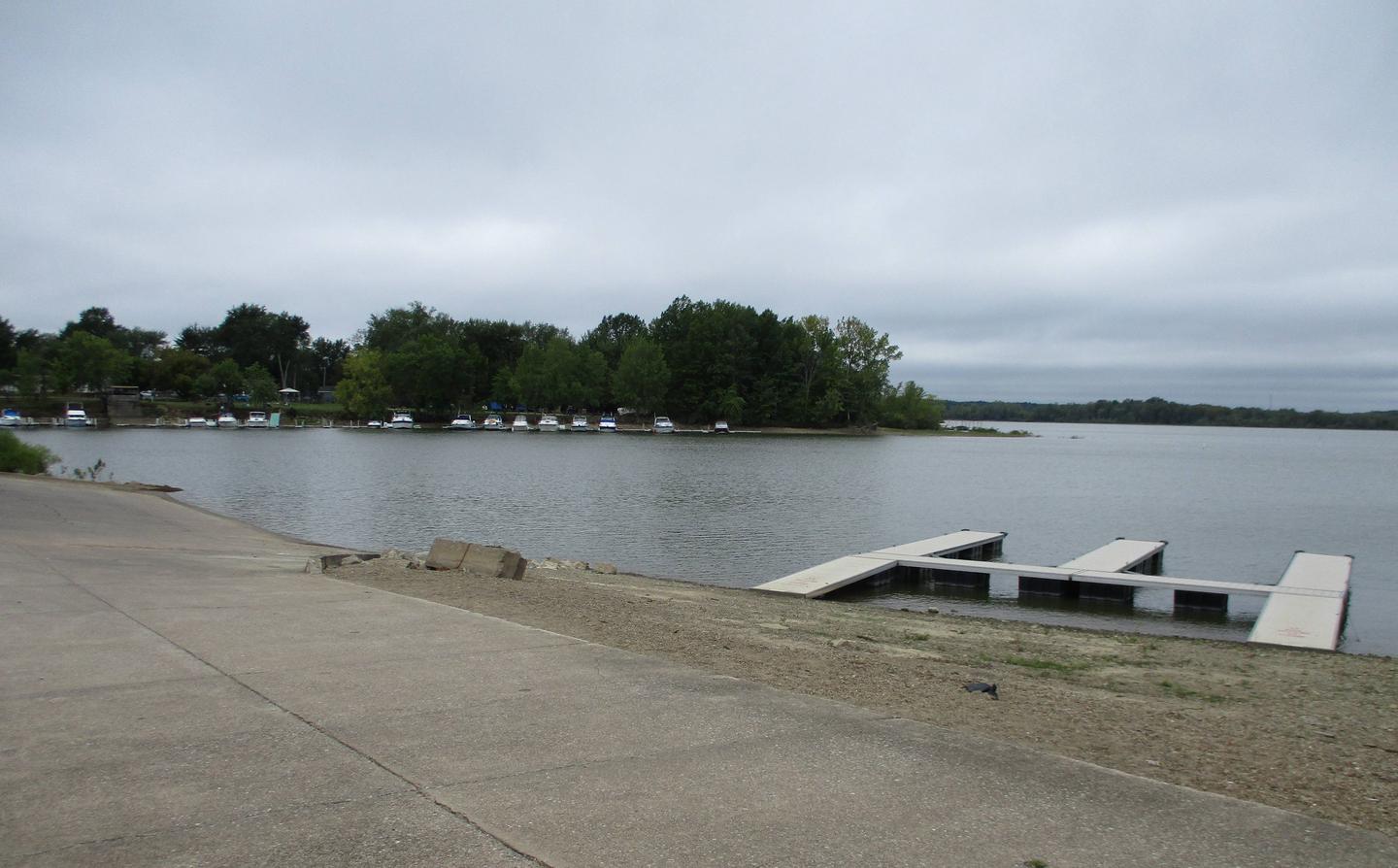
The lake is a popular location for boating, swimming, and fishing. Berlin Lake is renowned for its excellent walleye fishing. It is one of the few area lakes where natural reproduction of the species occurs. Anglers will also find largemouth and smallmouth bass, muskie, crappie and bluegill. The Ohio Department of Natural Resources manages over 6,800 acres of project lands for public hunting and wildlife management purposes. Small game species are found in abundance and hunting areas can be easily accessed.

Facilities

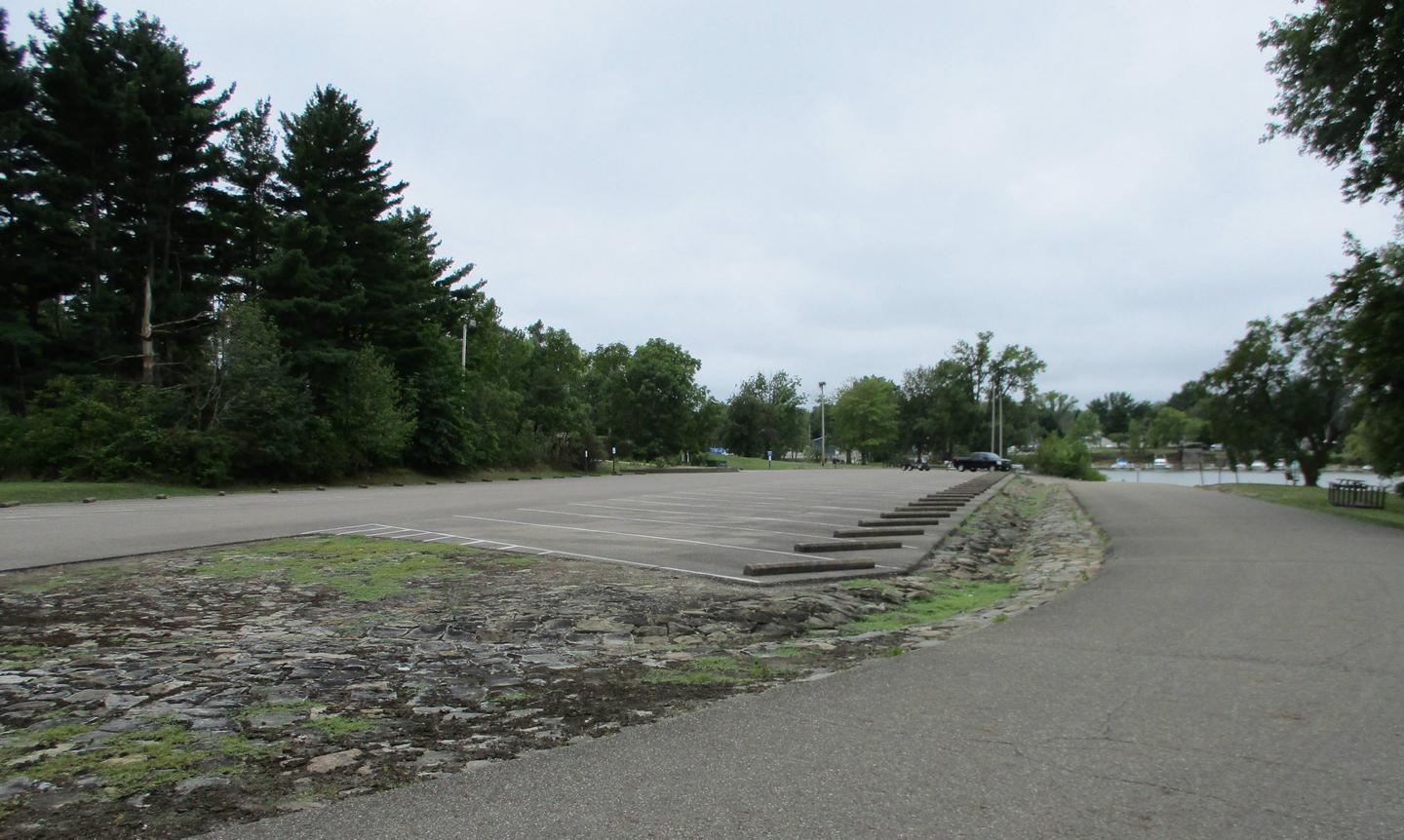
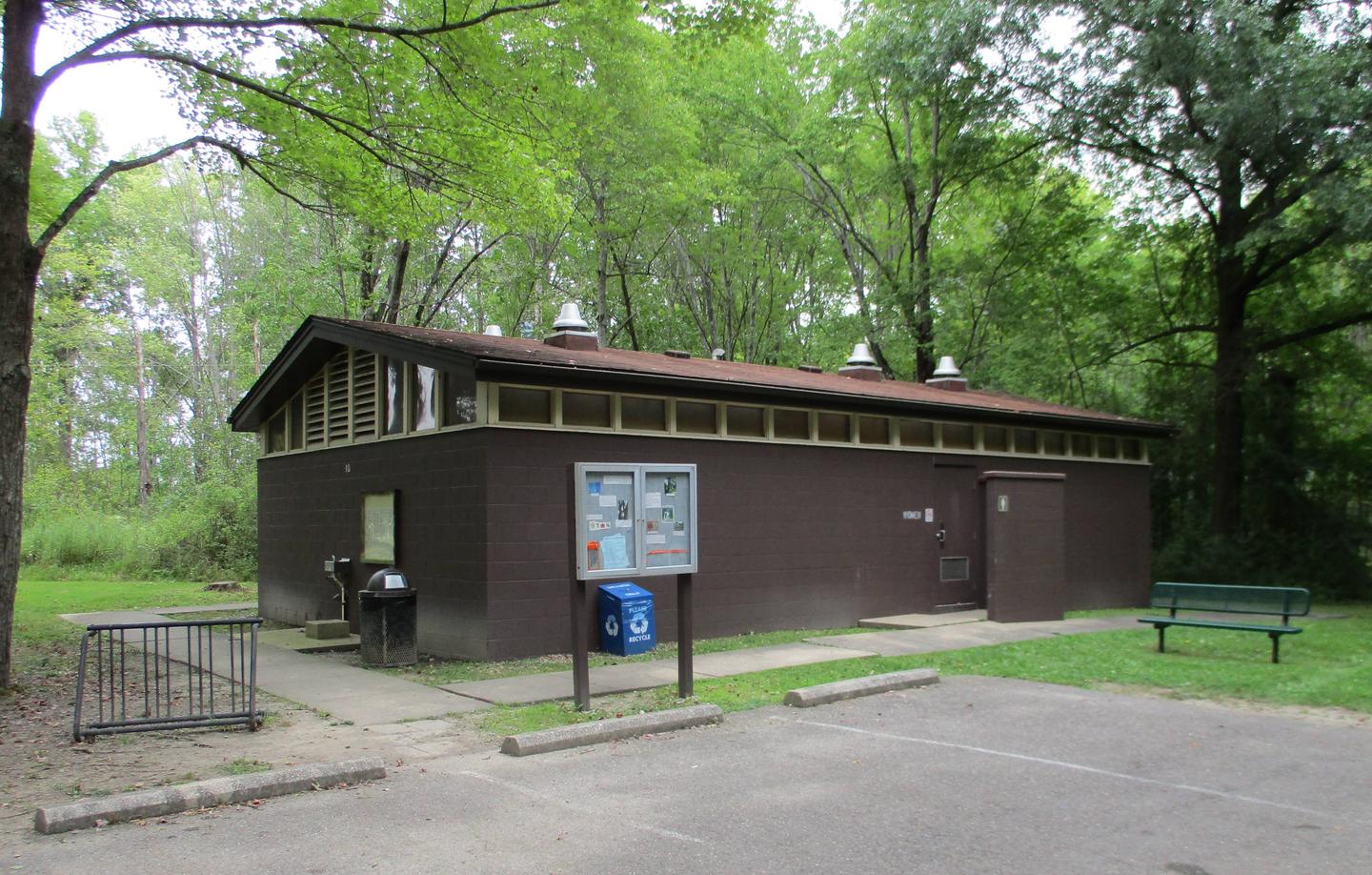
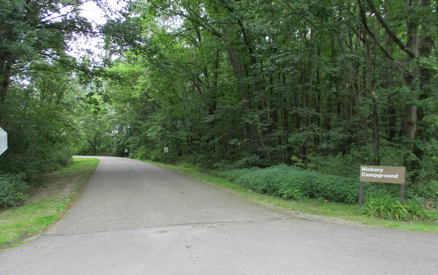
Mill Creek Campground offers 295 sites ranging from wooded water sites to grassy sites in the sun. Over 100 sites have electric hookups. Other amenities include a dump station, showers, flush restrooms, a boat ramp, playgrounds, and a volleyball court.

Natural Features

Berlin Lake is situated on the Mahoning River, where it covers 3,590 acres and offers 70 miles of shoreline. The banks of the lake are gently to moderately sloped, allowing for easy access. Beech and maple trees cover the area, offering shade and beautiful fall color.

A variety of wildlife makes its home around the lake. Visitors delight in viewing nesting ospreys. Bald eagles can occasionally be seen in the area as well.

Nearby Attractions

Noah’s Lost Ark Animal Sanctuary is just one mile south. The sanctuary is home to a large variety of big and small cats, including lions, tigers, cougars, leopards, bobcats and lynx.

Wolves, coyotes, fox, bears, camels, zebras and primates also live in Noah’s Lost Ark. Children love the sanctuary’s petting zoo and educational tours.

Reservation

More from CampingHiking.net:

FLETCHER VIEW, Nevada Campground Images, Info & Reservations

Directions From Las Vegas, Nevada, travel north on Highway 95 to the junction with Highway 157/Kyle Canyon. Turn left and travel approximately 18 miles; campground is on the left side of the highway. Phone 702-872-5486 Activities BIKING, CAMPING, HIKING, WILDLIFE VIEWING Keywords FLET,MOUNT CHARLESTON,LAS VEGAS,SRING MTNS NATIONAL REC AREA,HUMBOLDT-TOIYABE NF-FS

MANZANITA LAKE, California Campground Images, Info & Reservations

Directions From Redding, California drive 48 miles east on State Highway 44. Turn right into Lassen Volcanic National Park and continue one mile south to Manzanita Lake Campground. Phone 530 595-6121 Activities BOATING, HISTORIC & CULTURAL SITE, CAMPING, INTERPRETIVE PROGRAMS, FISHING, HIKING, PICNICKING, VISITOR CENTER, DAY USE AREA, SWIMMING SITE

NINKO CABIN, Montana Campground Images, Info & Reservations

Directions From Columbia Falls, travel north on Nucleus Avenue and turn east on Railroad Street at the stop sign. The road becomes the North Fork Road as it travels about 45 miles and over the railroad overpass. Turn left on Whale Creek Road 318 and park in the plowed pullout.

STONY FORK CABIN, Virginia Campground Images, Info & Reservations

Directions From Wytheville, follow I-77 north to Exit 47. Turn left onto Route 717 and follow for 4 miles to Stony Fork Campground. Total travel distance from Wytheville, VA is 10 miles. Phone 800-628-7202 Activities BIKING, BOATING, CAMPING, FISHING, HIKING, HUNTING, WILDLIFE VIEWING Keywords STOF,SMOKEY’S RETREAT,GEORGE WASHINGTON/JEFFERSON NF-FS Related Link(s)

Alpine Meadows Campground, California Campground Images, Info & Reservations

Directions From State Highway 267, turn onto Martis Dam Road. Continue on Martis Dam Road for approximately 1.2 miles. Tur miles. Turn right a 0.2 miles to the campground entrance. You have now arrived at the entrance to Alpine Meadows Campground.  Phone (530) 587-8113 Activities BIKING, CAMPING, FISHING, PICNICKING, WILDLIFE

SUNSET CAMPGROUND, Utah Campground Images, Info & Reservations

Directions From Highway 89 approximately 7 miles south of Panguitch, Utah, travel east on Highway 12 for about 14 miles. Turn south on Highway 63 to the main entrance of Bryce Canyon National Park. Sunset Campground is on the west (right) side of the road approximately 1.5 miles past the