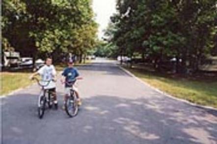
RAY BEHRENS, MO Campground Reservation, Info, Images, Map, Directions

RAY BEHRENS, Missouri Campground Images, Info & Reservations

Directions

From Hannibal MO, travel west on Highway 36 for 17 miles, turn south onto Route J and go 12 miles to the campground.


Phone

573-735-4097

Activities

BIKING, BOATING, CAMPING, DAY USE AREA

Keywords

RABE,BEHRENS CAMPGROUND,MARK TWAIN LAKE,MARK TWAIN LAKE

Related Link(s)

Rec Area Info & Images

Missouri State Tourism

Missouri State Road Conditions

Overview

Ray Behrens is a scenic campground and recreation area, conveniently located on the southeastern shores of Mark Twain Lake. Here, visitors can enjoy the perks of the campground, go boating on the lake or explore the area’s historic attractions.

Twain, the legendary author, was born in a village beside the lake and grew up in a town about 20 miles down the road.

Recreation

Mark Twain Lake provides countless opportunities for outdoor recreation – boating, swimming, fishing, picnicking, camping, hiking and hunting to name a few.

Facilities

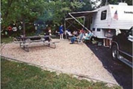
Ray Behrens Campground has three loops: Deer Run, Little Bluestem and Cedar Ridge. All campsites come with electric hookups. Showers and accessible flush toilets are in close proximity of every site. The park also features a marina and playgrounds.

Natural Features

The Salt River flows through rolling hills of north-central Missouri, where it is dammed to form the 18,000-acre Mark Twain Lake. A variety of recreation areas surround the lake, including the Mark Twain State Park.

Nearby Attractions

Beside the lake is the village of Florida, where Mark Twain was born. Twenty-five miles east is the town of Hannibal, where visitors can tour the author’s boyhood home.

Reservation

More from CampingHiking.net:

RUJADA CAMPGROUND, Oregon Campground Images, Info & Reservations

Directions From Cottage Grove, take exit 174 on Interstate 5, then take Row River Road #2400 east 19 miles to Layng Creek Road #17. Turn left (northeast) on Road #17 and continue for 2 miles until you reach Rujada Campground, located on the right, across Layng Creek. Phone 541-767-5000 Activities

EASTSIDE, Idaho Campground Images, Info & Reservations

Directions From Horseshoe Bend, Idaho, take Highway 52 for 9 miles west to the junction with the Sweet/Ola Highway. Turn north and travel 16 miles to Ola, Idaho. Travel north through Ola and follow 10 miles northeast on FS Rd 618, then make a right on FS Rd 626 and

IRON SPRINGS GROUP ASHLEY, Utah Campground Images, Info & Reservations

Directions From Vernal, Utah: Travel north on U.S. Highway 191 for 20 miles. Turn northwest onto Forest Road 018/Red Cloud Loop and travel approximately 5 miles to the campground. Phone 435-789-1181 Activities BIKING, CAMPING, HIKING Keywords IROG,ASHLEY NF – FS Related Link(s) Rec Area Info & Images Utah State Tourism

HONEYMOON FLAT, California Campground Images, Info & Reservations

Directions Take U.S. Highway 395 through Bridgeport. Turn south on Twin Lakes Road at the Shell gas station. Travel 8 miles on Twin Lakes Road. Turn right at Honeymoon Campground. Phone 760-932-7092 Activities CAMPING, FISHING Keywords HONE,HUMBOLDT-TOIYABE NF-FS Related Link(s) Rec Area Info & Images Forest Service Concessionaire California State

AMANITA, Idaho Campground Images, Info & Reservations

Directions From Boise, Idaho, take Highway 55 north for 95 miles to Donnelly. Turn west on West Roseberry Road and travel 1.5 miles to Norwood Road. Turn south and continue one mile to Tamarack Falls Road. From there, turn west and go just over a mile to West Mountain Road.