SOUTH MARCUM DAY USE, IL Campground Reservation, Info, Images, Map, Directions

SOUTH MARCUM DAY USE, Illinois Campground Images, Info & Reservations

Directions

From I-57 take exit 71 and turn west onto Route 14. Continue for 3 miles, then turn north on Rend City Road, turn right on Rend Lake Dam Rd. The entrance is on the left after about 3 miles, just past the main dam.

Phone

618-724-2493

Activities

BIKING, BOATING, CAMPING, HIKING, SWIMMING SITE

Keywords

SMAD,SHELTER 9,REND LAKE,SOUTH MARCUM,SOUTH MARCUM DAY USE,BY THE VISITOR CENTER,BY SOUTH MARCUM BOAT RAMP,ACROSS FROM DALE MILLER BEACH,REND LAKE

Related Link(s)

Rec Area Info & Images

Illinois State Tourism

Illinois State Road Conditions

Overview

Congratulations! You’ve just discovered Rend Lake, the perfect place to enjoy a wide variety of activities, events, and nature at its best. Even a short visit to Rend Lake will impress you with the versatility of this magnificent area. Rend Lake is made up of 20,633 acres of water and 19,523 acres of land. Wildlife in the are includes deer, turkey, fox, raccoon, opossum, waterfowl, and others as seasons change throughout the year. Whether you’re looking for high adventure, a peaceful retreat, or something in between, you’ll find it here in the heart of Southern Illinois.

Recreation

Take a leisurely morning stroll, ski or sail lake waters, spend the afternoon viewing inspiring art exhibits and end your day by the warm glow of a campfire under starry night skies. The fields, forests and waters of Rend Lake provide a natural haven for wildlife and an outdoor wonderland for you. Boat, hike, fish, hunt, swim, and explore at your leisure. If you prefer a little less nature, visit one of the resorts around the lake and delight in superb lodging and dining. Just minutes away you’ll find golf, trap and skeet, arts, antiques, museums, wineries, and more.
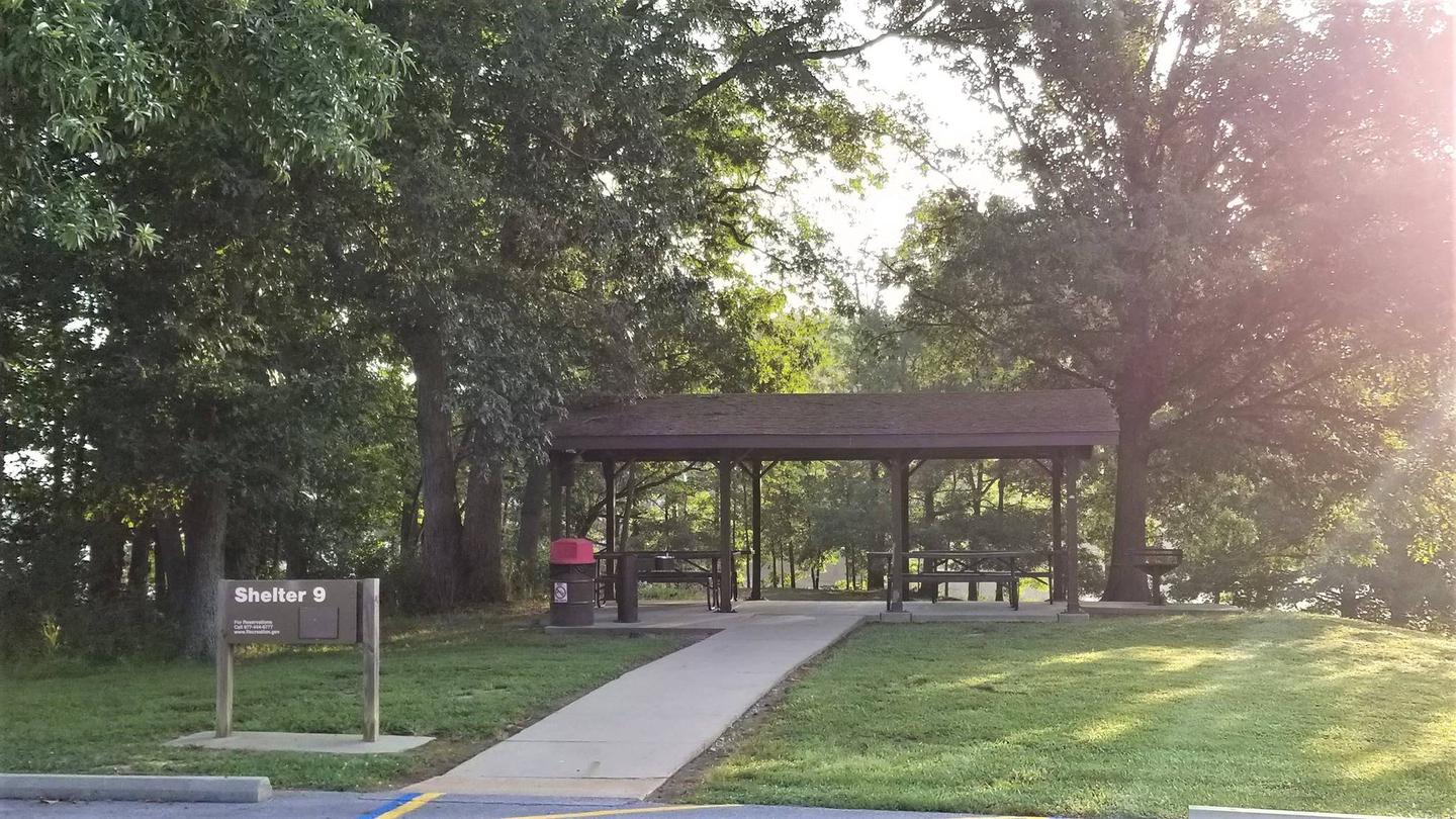
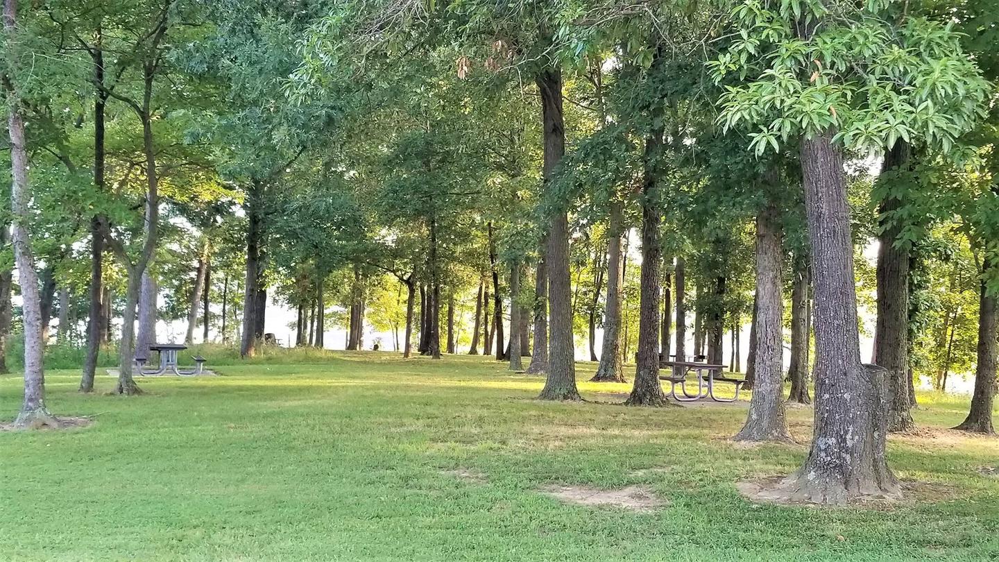
Facilities

South Marcum Day Use Area features a picnic shelter with tables, grills, and drinking water. The shelter can accommodate up to 25 guests, and the area has a boat ramp and playground within walking distance.
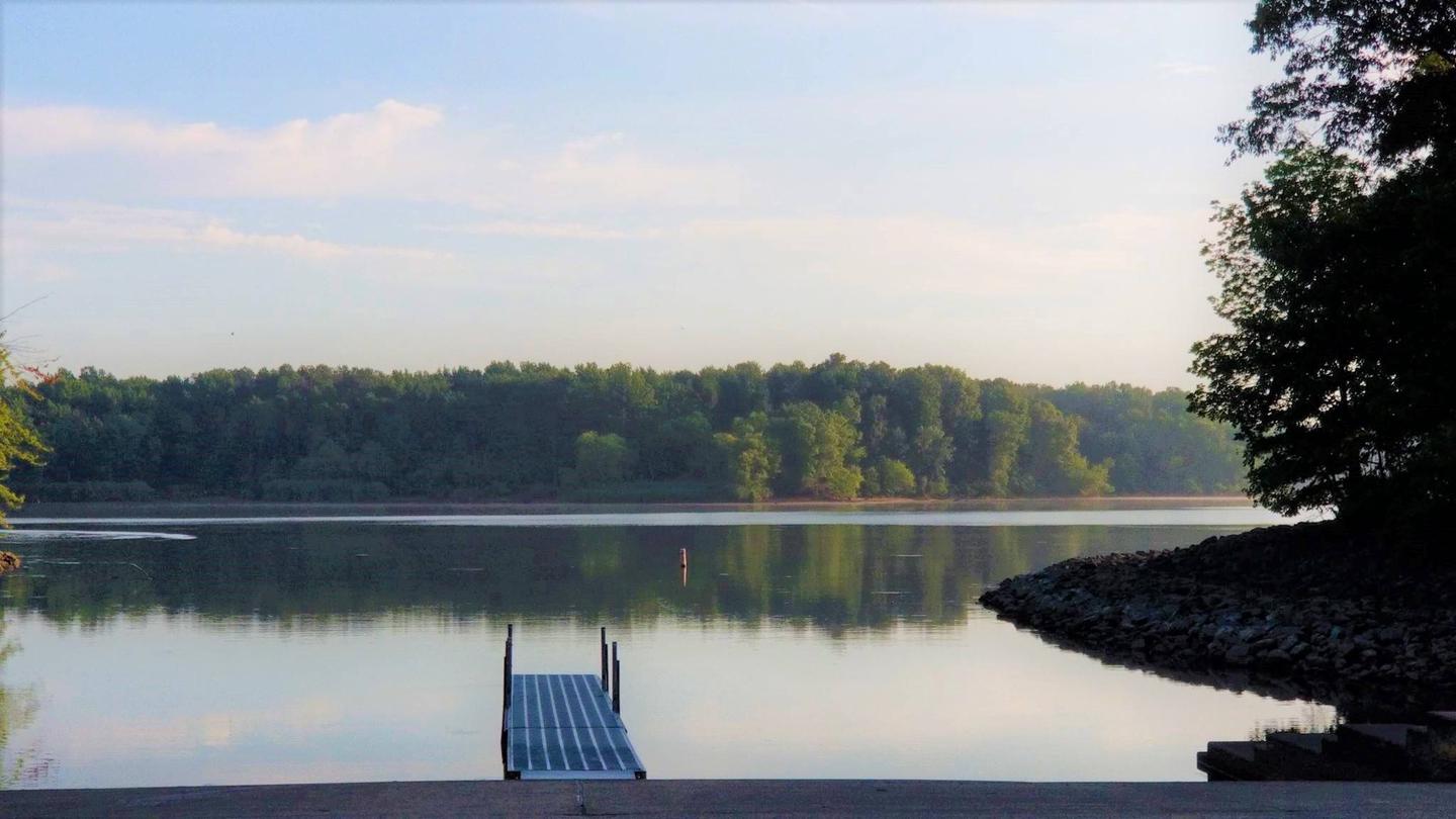
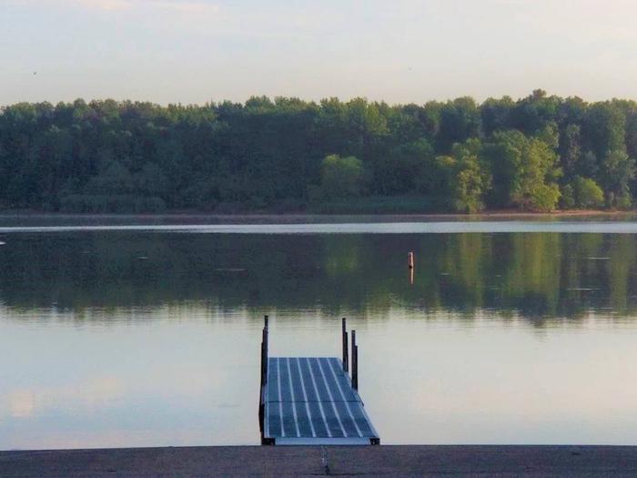
Natural Features

South Marcum Day-Use Area sits along the banks of Rend Lake in the heart of Southern Illinois. Rend Lake is made up of 18,900 acres of water and 20,000 acres of land.

Wildlife in the area includes white tailed deer, wild turkey, fox, raccoon, opossum, waterfowl, and others as seasons change throughout the year.

Nearby Attractions

Rend Lake Dam Rend Lake Visitors Center Rend Lake Project Office

Reservation

More from CampingHiking.net:

HORSE HEAVEN GROUP, California Campground Images, Info & Reservations

Directions The campground is located 50 miles east of San Diego, California. Take I-8 to Sunrise Highway exit. Go approximately 14 miles until you see the Horse Heaven Group Campground sign and turn down the campground entrance road. Phone 619-445-6235 Activities BIKING, CAMPING, HIKING, HORSEBACK RIDING, WILDLIFE VIEWING, MOUNTAIN BIKING,

BEAR CREEK COVE, Oklahoma Campground Images, Info & Reservations

Directions From Newkirk, Oklahoma, take Peckham Road and travel east for about 8 miles, turn right on Bear Creek Road and continue south for 3 miles. Campground will be on the right. Phone 580-762-5611 Activities BOATING, CAMPING, FISHING, WILDLIFE VIEWING Keywords BRCC,KAW LAKE,KAW LAKE,OKLAHOMA,OKLAHOMA,KAW LAKE Related Link(s) Rec Area Info

RED IVES CABIN, Idaho Campground Images, Info & Reservations

Directions From St. Maries, Idaho: Follow paved Forest Highway 50 (St. Joe River Rd) 47 miles to Avery. Continue 29 more miles along FH-50 to the Red Ives Road #218. Turn right (south) on road #218 and travel 10 miles upstream to the Red Ives Ranger Station. The Red Ives

MOUNT ROSE (NV), California Campground Images, Info & Reservations

Directions From Highway 395 south of Reno, travel 17 miles west on State Route 431, following signs to the campground. The Actual Mailing Address is: PO Box 104, Markleeville, CA 96120. The Physical Address is: Mt. Rose Hwy, State Route 431, Reno, NV 89511. Phone 530-694-1002 Activities BIKING, CLIMBING, CAMPING,

CLEAR CREEK GROUP (AZ), Arizona Campground Images, Info & Reservations

Directions From Interstate 17, take Exit 287 for AZ-260 toward Cottonwood/Payson/89-A. Turn right onto AZ-260 and follow for approximately 8 miles to the campsite. Phone 928-204-0028 Activities CAMPING, BIRDING Keywords CLEG,OAK CREEK CANYON,COCONINO NF – FS Related Link(s) Rec Area Info & Images Arizona State Tourism Forest Service Concessionaire Arizona

OSAGE BLUFF, Missouri Campground Images, Info & Reservations

Directions From Highway 83, travel about a mile on Osage Bluff Road. Follow signs into park. Phone 660-438-3873 Activities BOATING, CAMPING, FISHING, FISH HATCHERY Keywords UBAG,TRUMAN LAKE,HARRY S TRUMAN Related Link(s) Rec Area Info & Images Missouri State Road Conditions Missouri State Tourism Overview Osage Bluff Park sits on the