
Directions
From I-70, take Highway 177 south for 30 miles. Continue west across the dam road, then right onto City Lake Road. After a mile turn right into the campground entrance.
Phone
620-767-5195
Activities
BOATING, CAMPING, FISHING, HIKING, HUNTING
Keywords
SANT,COUNCIL GROVE,COUNCIL GROVE LAKE
Related Link(s)
Overview
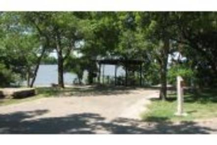
Santa Fe Trail Campground is located on the 3,310-acre Council Grove Lake in the green expanses of eastern Kansas.
Recreation
Boating is a popular pastime at the lake, and a boat ramp is located in the campground for visitors’ convenience.
The lake is known for its fishing opportunities, with crappie and catfish being the most abundant. Council Grove was also the first lake in Kansas to receive stocking of Saugeye.
Hunters will find populations of quail, prairie chicken, wild turkey and deer on the nearly 2,700 acres of hunting lands surrounding the lake.
Hiking trails wind along the lake shore and into the forest. Pioneer Nature Trail is known as the most scenic trail, with plenty of wildlife, greenery and wildflowers creating a beautiful background.
Council Grove is also a starting point for the Flint Hills National Scenic Byway. This byway travels through the best of the remaining remnants of the Tallgrass Prairie Ecosystem in North America.
Along the byway and 25 miles south is the National Tallgrass Prairie Preserve, where visitors can spot colorful wildflowers in the spring and array of autumn colors in the fall.
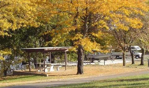
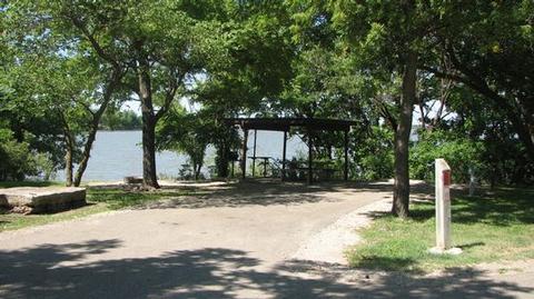
Facilities
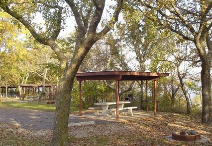
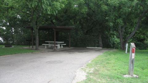
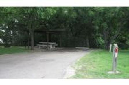
Santa Fe Trail Campground offers 35 reservable campsites, including one group camping area that can accommodate up to 75 guests. Electric hookups, flush toilets and other modern amenities are provided.
The campground has plenty of shade, along with open grassy areas for games and recreation.
Natural Features
Council Grove Lake sits in the rolling, grassy Flint Hills. The lake was created by a dam built in 1964, and now offers recreational opportunities to hundreds of thousands of visitors every year.
Historically this area is where the Osage Indians signed a treaty to establish the Old Santa Fe Trail. A marker in the town of Council Grove indicates the place where the treaty was signed.
Nearby Attractions
The town of Council Grove, located about 2 miles southeast of the lake, is a National Historic District, with seven Santa Fe National Historic Trail sites in the community.