SPARROWFOOT, MO Campground Reservation, Info, Images, Map, Directions

SPARROWFOOT, Missouri Campground Images, Info & Reservations

Directions

From Highway 13, travel about a mile east on SE 450 Road and follow signs into the park.

Phone

660-885-7546

Activities

BOATING, CAMPING, FISHING

Keywords

SPAF,TRUMAN LAKE,HARRY S TRUMAN

Related Link(s)

Rec Area Info & Images

Missouri State Road Conditions

Missouri State Tourism

Overview

SPARROWFOOT CAMPGROUND WILL REMAIN CLOSED THROUGH THE 2020 CAMPING SEASON. THE BOAT RAMP AND PICNIC SHELTERS ARE STILL AVAILABLE. 

Sparrowfoot Campground is situated on the Grand River Arm of the Harry S. Truman Lake in the hills of western Missouri.

Visitors enjoy fishing, hunting and boating.

Click here for the Harry S. Truman Lake virtual tour.

Recreation

Sparrowfoot is an excellent fishing location. Anglers find crappie, largemouth bass and blue and flathead catfish. Truman Lake is also a popular destination for tournament fishermen.

Facilities

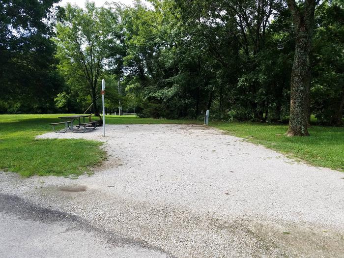
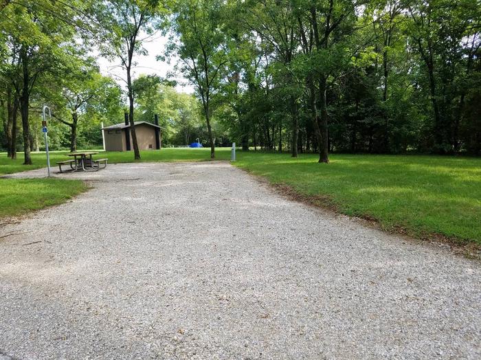
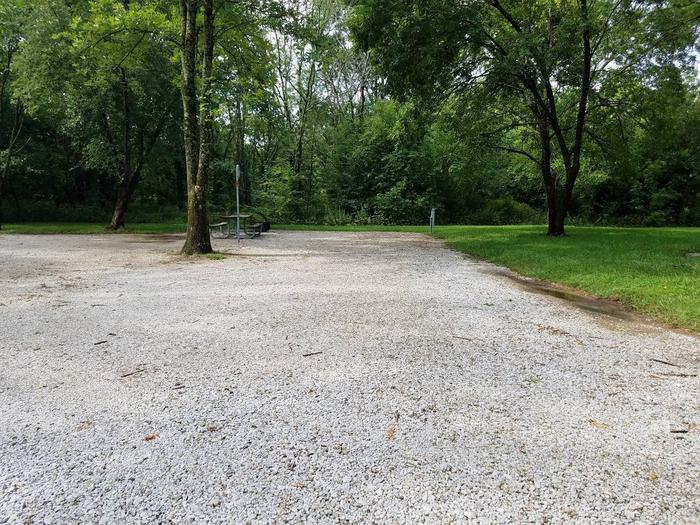
This year-round campground offers 83 sites with electric hookups. Three day-use group picnic shelters are also available, making the area perfect for large parties or family functions.

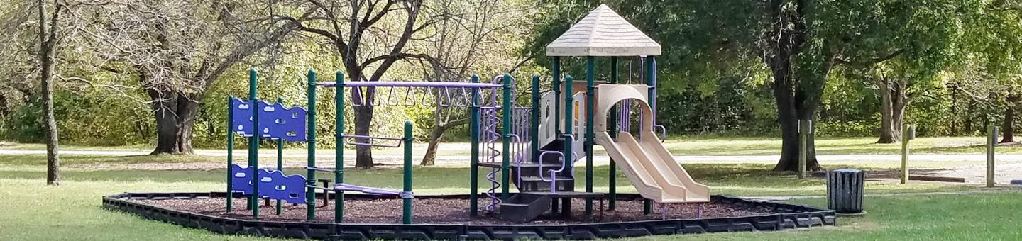
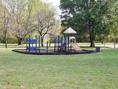
Amenities include flush and pit toilets, showers, drinking water, laundry facilities, playground, a dump station and boat ramp.

Natural Features

A mosaic of hardwood forests and grasslands covers the area’s rolling hills. Rocky bluffs extend into the lake.

Wildlife is abundant in and around Sparrowfoot. Whitetail deer, turkey, hummingbirds, hawks and ospreys are commonly seen. Bald eagles can be viewed during the winter months.

Nearby Attractions

Katy Trail State Park, the nation’s longest rails-to-trails project, is nearby. This unique park stretches from Clinton to Machens, with dozens of trailheads in between. Biking and hiking are allowed on the entire length of the trail, and horses are allowed from Clinton to Sedalia.

Reservation

More from CampingHiking.net:

RILEY CREEK, Idaho Campground Images, Info & Reservations

Directions From Highway 2 in Laclede, Idaho, turn south onto Riley Creek Road, then continue about 1 mile to the campground entrance. Phone 208-437-3133 Activities BIKING, BOATING, CAMPING, INTERPRETIVE PROGRAMS, FISHING, HIKING, PICNICKING, WATER SPORTS, WILDLIFE VIEWING, DAY USE AREA, SWIMMING SITE Keywords RILC,ALBENI FALLS DAM Related Link(s) Rec Area

WATERVILLE CAMPGROUND, New Hampshire Campground Images, Info & Reservations

Directions From Highway 93, take exit 28. Follow Highway 49 east for 10 miles, then turn left on Tripoli Road. The campground is 0.25 miles on the left. Phone 603-536-6100 Activities BIKING, BOATING, CAMPING, FISHING, HIKING, HORSEBACK RIDING, WINTER SPORTS, SWIMMING SITE Keywords WATE,WHITE MOUNTAIN NF -FS Related Link(s) Rec

GENTRY CREEK, Oklahoma Campground Images, Info & Reservations

Directions From Checotah, Oklahoma, travel 9 miles west on Highway 266. Follow the signs to the campground entrance. Phone 918-799-5843 Activities BOATING, CAMPING, FISHING, HIKING Keywords GENT,EUFAULA LAKE,EUFAULA LAKE Related Link(s) Rec Area Info & Images Oklahoma State Tourism Oklahoma State Road Conditions Overview Gentry Creek Campground sits along the

LOWER FIR GROUP AREA, New Mexico Campground Images, Info & Reservations

Directions From Alamogordo take US 82 east, go 17 miles, just past Cloudcroft. Turn left (northwest) onto NM 244. Go approximately 1 mile. Turn right onto Forest Road 422. Go approximately 1/4 mile. Campground is on the left. Phone 575-682-7570 Activities CAMPING Keywords FIRL,LINCOLN NF – FS Related Link(s) Rec

EAST ELK CREEK GROUP CAMPSITE, Colorado Campground Images, Info & Reservations

Directions East Elk Creek Group campground is located off of US Hwy 50 between Gunnison and Montrose, on the north side of the highway approximately 1/2 miles west of Elk Creek. Phone 970-641-2337 Activities BOATING, CAMPING, FISHING, HIKING, HUNTING, WILDLIFE VIEWING Keywords EEGS,CURECANTI NATIONAL RECREATION,CURECANTI,ELK LAKE,ELK Related Link(s) Rec Area

DANA PEAK, Texas Campground Images, Info & Reservations

Directions From Interstate 35 in Belton, Texas take Highway 190 west to the Simmons Road exit. Cross under the highway and turn west on Farm-to-Market Road 2410. Turn left (south) on Commanche Gap Road and drive for five miles to reach the park. Phone 254-698-4282 Activities BIKING, CAMPING, FISHING, HORSEBACK