TOMPKINS BEND, AR Campground Reservation, Info, Images, Map, Directions

TOMPKINS BEND, Arkansas Campground Images, Info & Reservations

Directions

From Hot Springs, Arkansas, take US 270 west approximately 24.5 miles to Tompkin Bend Road. Turn right and follow access road 2.4 miles north to park.

From Mount Ida, Arkansas, take US 270 east about 10.7 miles to Tompkins Bend Road. Turn left and follow access road 2.4 miles north to the park.

Phone

870-867-4476

Activities

BIKING, BOATING, CAMPING, FISHING, HIKING, MOUNTAIN BIKING, WATER ACTIVITIES, KAYAKING, CANOEING

Keywords

TOMB,LAKE OUACHITA,TOMPKINS,SHANGRI LA,LAKE OUACHITA

Related Link(s)

Rec Area Info & Images

Arkansas State Road Conditions

Arkansas State Tourism

Overview

Tompkins Bend on Lake Ouachita, is a great family camping destination. The combination of lush mountain scenery and roomy sites big enough for two camping units, make this quiet location an ideal place for an outdoor getaway.

Click here for the Lake Ouachita Virtual Tour.

Recreation

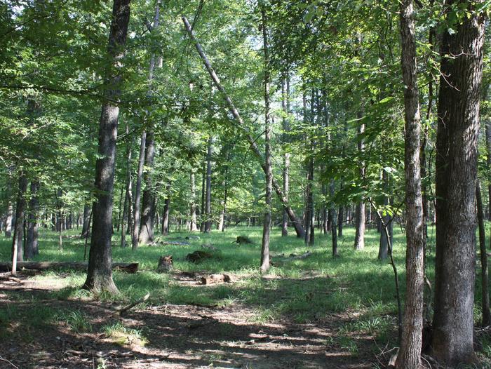
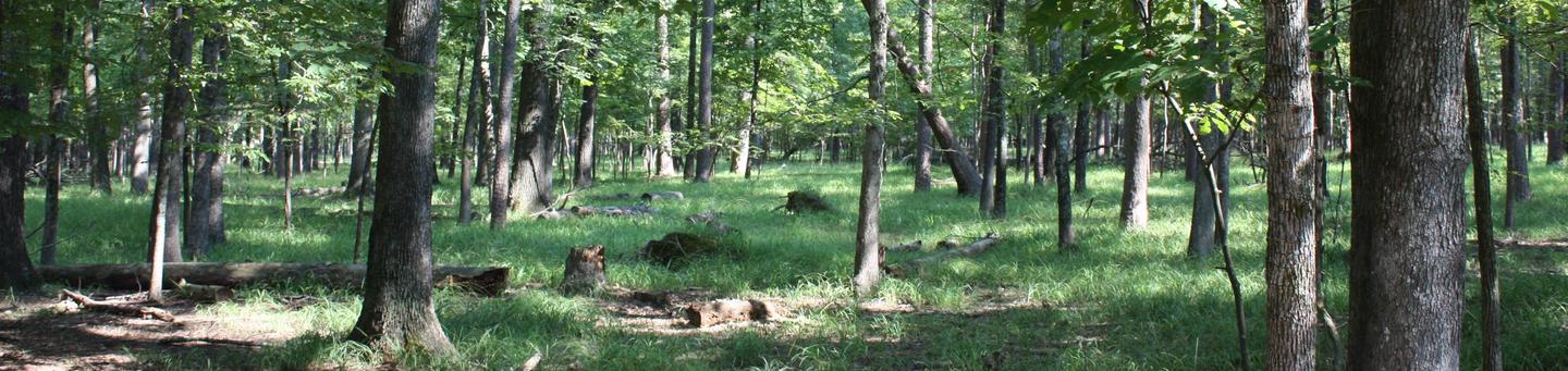
Water skiers, jet skiers and anglers can all enjoy the crystal clear waters of the lake, while hikers enjoy the campground’s location on the Lake Ouachita Vista Trail (LOViT), which meanders across the south end of the lake. Wildlife enthusiasts can find everything from bobcats to black bears and deer in the forested mountains surrounding the lake, and Bald eagles are often spotted in winter.

Facilities

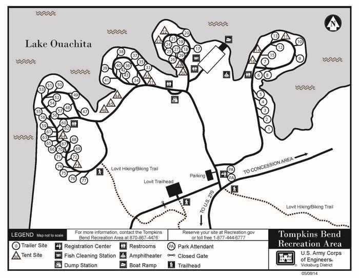
The campground consists of 77 sites including 63 sites with electric hookups and 69 sites with water hookups. Most sites will accommodate two camping units. Other amenities include a dump station, fish cleaning station, hot showers, playground and a boat ramp.

Natural Features

Lake Ouachita is fed from the cool waters of the Ouachita River in central Arkansas. Surrounded by the Ouachita Mountains and National Forest, it’s crystal waters span over 40,000 acres and extend for 30 miles, making it the largest lake completely in the state of Arkansas.

Nearby Attractions

Head to Hot Springs National Park and discover how it earned the nickname, “The American Spa.” Or take a scenic drive through the 1.8 million-acres of Ouachita National Forest. Here, off-roading enthusiasts can take on the Wolf Pen Gap Off-Highway Vehicle Trail System.

Reservation

More from CampingHiking.net:

SPRING CREEK, California Campground Images, Info & Reservations

Directions From Reno, travel north on Highway 395. Turn west on Highway 70 and travel 5 miles to Chilcoot. Turn north on Highway 284, travel 8 miles to the Frenchman Lake Reservoir, turn right, cross the dam, and travel 2 miles to the Spring Creek Campground. Phone 530-836-2575 Activities BOATING,

PLEASANT VALLEY CAMPGROUND, Washington Campground Images, Info & Reservations

Directions From Naches, take Highway 410 northwest approximately 42 miles to milepost 80.2. Phone 541-338-7869 Activities BIKING, CAMPING, FISHING, HIKING, WATER SPORTS, SWIMMING SITE Keywords PLVA,OKANOGAN – WENATCHEE NF -FS,PLEASANT VALLEY,PLEASANT VALLEY CAMPGROUND Related Link(s) Rec Area Info & Images Washington State Road Conditions Washington State Tourism Forest Service Concessionaire

HORNET LOOKOUT, Montana Campground Images, Info & Reservations

Directions From Columbia Falls, take Nucleus Avenue north through Columbia Falls and turn east on Railroad Street. At the stop sign, the road becomes the North Fork Road. Continue on North Fork Road for about 45 miles and over the railroad overpass. Turn left (west) on Whale Creek Road 318

JEMEZ FALLS CAMPGROUND, New Mexico Campground Images, Info & Reservations

Directions From Alburquerque: Take Interstate 25 north for 12 miles; exit onto NM State Highway 550 northwest for approximately 20 miles then exit onto NM Highway 4. The campground is accessed off NM Highway 4, approximately 15 miles northeast of Jemez Springs. Phone (575) 829-3535 Activities BIKING, HISTORIC & CULTURAL

BUMBLEBEE CAMPGROUND, Idaho Campground Images, Info & Reservations

Directions Take the Kingston Exit off Interstate 90 and take Forest Road 9 North for 5.4 miles. Turn left onto Bumblebee cutoff and head 3 miles to the campground sign at the junction with Forest Road 796. Turn right onto Forest Road 796 and go 0.1 miles to the campground.

Grandview Shelter 3, West Virginia Campground Images, Info & Reservations

Directions To reach Grandview from Beckley follow I-64 East five miles to Exit 129 B. From Lewisburg follow I-64 West forty miles to Exit 129. From either exit, turn right and follow Route 9 North six miles to Grandview. Phone 304-465-0508 Activities HIKING, PICNICKING, DAY USE AREA Keywords Grandview State