
Directions
From the north, take US-31 south 10 miles from its junction with M-55 in Manistee, then right on Forest Trail Road (FS 5629) for 8 miles to the site.
From the south, take US-31 north 11.5 miles from its junction with US-10 at Scottville, then left onto Forest Trail Road (FS 5629) for 8 miles the site.
Phone
231-723-0141
Activities
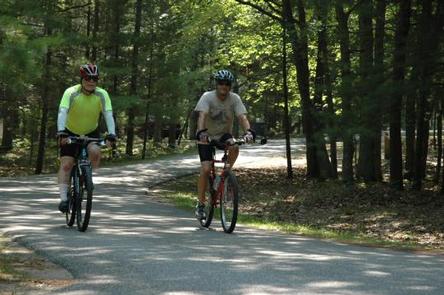
BIKING, CAMPING, FISHING, HIKING, DAY USE AREA, SWIMMING SITE
Keywords
LAMI,LMRA,LAKE MICHIGAN,FOREST TRAIL CAMPGROUND,FEDERAL PARK,LAKE MICHIGAN RECREATION AREA,Nordhouse Dunes Wilderness,HURON-MANISTEE NF -FS
Related Link(s)
Michigan State Road Conditions
Overview
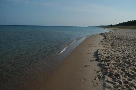
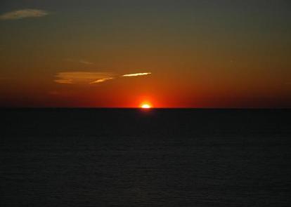
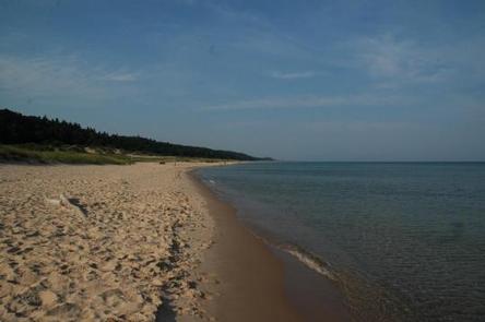
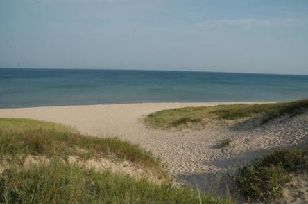
Lake Michigan Campground is perched on the shores of Lake Michigan, 15 miles south of Manistee. The area creates an incredible setting with a scenic overlook of the lake and a sandy swimming beach. This family campground provides an array of hiking and biking trails, plus swimming, fishing and kayaking.
Recreation
A hardwood forest gives way to a beautiful sandy beach at the shores of the lake with a playground for younger campers. Trout fishing in Lake Michigan is another big draw.
Bird watchers delight in seeing unique species like the piping plover and prairie warbler.
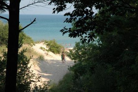
The Arrowhead Trail, a short loop trail created by Boy Scouts, forms a loop between the campground and the beach. A trailhead for the Nordhouse Dunes Wilderness Area is also within the recreation area.
Facilities
An amphitheater offers educational programs throughout the peak season. Other amenities include flush and vault toilets, beach access and an overlook deck. Campsites are equipped with picnic tables and pedestal grills.
Group campsites can each accommodate a maximum of 50 guests.
Natural Features
The recreation area sits on the eastern banks of Lake Michigan along Porter Creek, due north of Hamlin Lake. As the second largest of the five Great Lakes, Lake Michigan provides stunning views and limitless options for water recreation. It covers a whopping 22,400 square miles and ranks as the fifth largest lake in the world.
The Huron-Manistee National Forests encompass nearly a million acres of public protected land. Nearly 6,000 acres is wetlands that extend over the northern portion of Michigan’s Lower Peninsula.
Nearby Attractions
The nearby Nordhouse Dunes Wilderness Area has abundant trails for hiking and backpacking.