
Directions
From Wrightwood, California, take State Route 2 west for 2.4 miles to the Table Mountain Campground sign and continue to follow signs into the campground.
Phone
760-249-3526
Activities
BIKING, CAMPING, HIKING, WILDLIFE VIEWING, DAY USE AREA, SCENIC DRIVE
Keywords
TBLE,TABLE MOUNTAIN ANGELES NF,ANGELES NF – FS
Related Link(s)
California State Road Conditions
Overview
Table Mountain, just a short journey northwest of the Los Angeles metro area, provides a beautiful escape from urban life. Campers will find hiking, mountain biking, birding and countless other recreation opportunities. The surrounding landscape is also ideal for scenic drives.
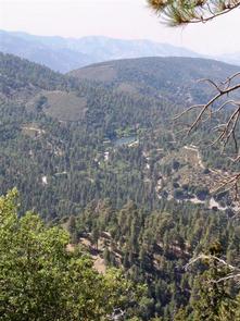
The campground sits in the Angeles National Forest, spanning 694,187 acres over most of the San Gabriel Mountain range. The forest boasts spectacular scenery and 557 miles of hiking and equestrian trails.
Recreation
The Table Mountain Nature Trail runs through the campground, and visitors can spot birds, squirrel, deer and the California condor.
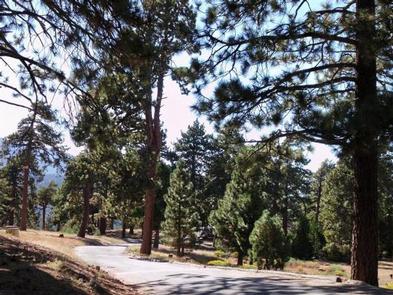
The Angeles Crest Scenic Byway is a highly recommended drive that extends through oak thickets, chaparral, high desert landscapes and pine tree forests along the highest and most scenic ridges of the San Gabriel mountain range.
Facilities
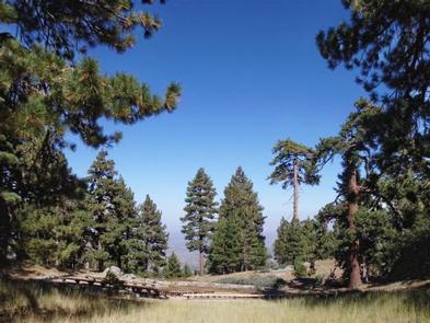
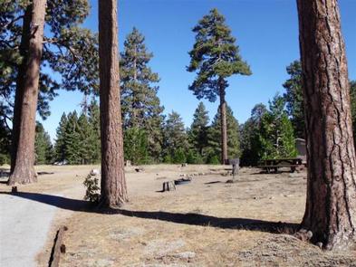
Campsites range from level meadow locations to shaded, hilly sites. All sites are reasonably close to vault toilets and have paved spurs and fire pits. Water spigots are spaced about every six sites.
The amphitheater site is available for day-use only and accommodates up to 150 guests and 30 vehicles.
Natural Features
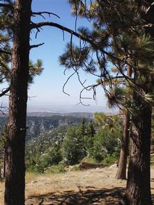
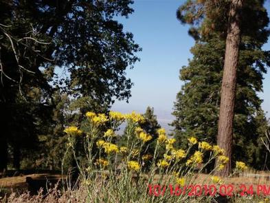
Table Mountain is set in a hilly, oak and pine forest with two large meadows and beautiful views. At an elevation of 7,000 feet, summer temperatures average in the low 80s with cool nights.
Nearby Attractions
The ski resort towns of Big Pines and Wrightwood are very close by. Restaurants and a disc golf course can be found at the ski lodge.