Directions
From Bozeman, travel south on Highway 191 for 46 miles to the campground. From West Yellowstone, take Highway 191 north for 45 miles.
Phone
406-646-1012
Activities
CAMPING, FISHING, HIKING, WILDLIFE VIEWING, PHOTOGRAPHY, BERRY PICKING, STAR GAZING, BIRDING, WATER ACCESS, BACKPACKING
Keywords
REDC,RED ROCK,GREY CLIFF,GALLATIN NF – FS
Related Link(s)
Overview
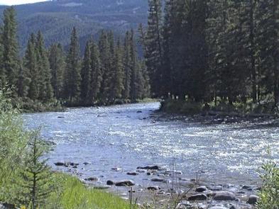
Red Cliff Campground is located in the scenic Gallatin Canyon, on the Bozeman Ranger District of the Gallatin National Forest, in Montana. Bozeman is 46 miles north of the campground and West Yellowstone is 45 miles south. The campground is adjacent to the Gallatin River and Highway 191.
The surrounding area offers many outdoor recreational opportunities, including fishing, rafting, hiking and viewing local wildlife.
Recreation
Great opportunities for hiking, fishing, scenic driving and wildlife viewing are available around the campground. Anglers cast for rainbow, brown, brook and cutthroat trout, whitefish and Arctic grayling on the Gallatin River. Rafting and kayaking are popular activities as well.
The Elkhorn Creek Trail, for hiking and horseback riding, begins at the south end of the campground.
Facilities
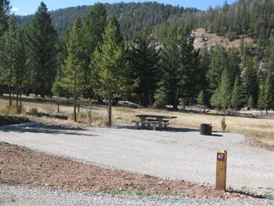
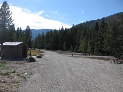
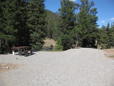
The campground offers single-family campsites, with and without electric hookups. Several sites are also accessible. A day-use group picnic area is available on-site as well, and can accommodate up to 60 people. Vault toilets and drinking water are provided. Roads and parking spurs within the campground are gravel.
Natural Features
The campground sits next to the Gallatin River, at an elevation of 6,200 feet. Most campsites are situated among scattered pine and fir trees. Some sites are located in open meadows further from the river.
A variety of wildlife makes its home in this scenic canyon. Visitors can often glimpse bald eagles, bighorn sheep, moose, elk, mountain goats, deer and coyotes. Black and grizzly bears also live in the canyon.
Nearby Attractions
The west entrance to Yellowstone National Park is located 45 miles south of the campground, in the town of West Yellowstone. Visitors enjoy day trips to the park for unparalleled wildlife viewing, beautiful scenery and unique geologic features.
The Grizzly and Wolf Discovery Center in the town of West Yellowstone is a popular attraction. It showcases live grizzly bears, gray wolves and various birds of prey, and has a variety of exhibits and educational programs.


