LITTLE BEAR GROUP, UT Campground Reservation, Info, Images, Map, Directions

LITTLE BEAR GROUP, Utah Campground Images, Info & Reservations

Directions

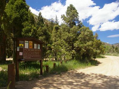
The campground is located 13 miles west of Huntington, Utah, along Highway 31.

Phone

435-384-2372

Activities

BIKING, CLIMBING, CAMPING, FISHING, HIKING, HUNTING, WILDLIFE VIEWING

Keywords

LBEA,MANTI-LASAL NF -FS

Related Link(s)

Rec Area Info & Images

Utah State Tourism

Utah State Road Conditions

Overview

Little Bear Group Campground is located in beautiful Huntington Canyon along the Huntington Canyon National Scenic Byway on Utah Highway 31. It sits at an elevation of approximately 6,500 feet. Many recreational activities are available, including hiking, biking and fishing.

Recreation

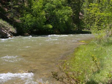
Popular activities include fishing, hunting, hiking, mountain biking, horseback riding, rock climbing and scenic driving. Huntington Creek is a Blue Ribbon fishery, offering high quality fishing for brown, cutthroat and rainbow trout.

The 4-mile Left Fork of the Huntington National Recreation Trail is nearby and open to hikers and horseback riders. The 10-mile Fish Creek Trail, for hiking, biking and horseback riding is also near the campground.

Facilities

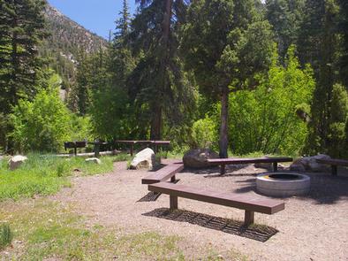
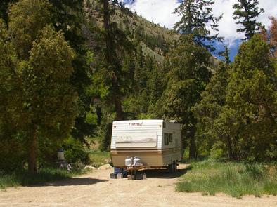
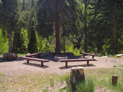
Little Bear Group Campground is made up of two large-group campsites, for tent and RV camping. To reserve the entire campground, both sites (A and B) must be reserved at the same time. Each site can accommodate up to 50 people and 15 vehicles. Adjacent parking areas are dirt.

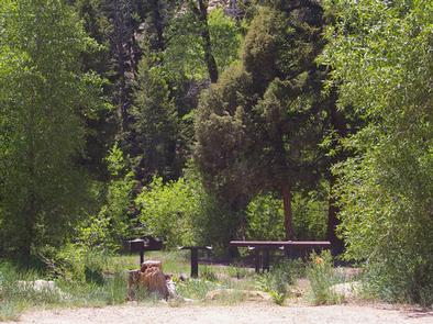
The campsites are equipped with tables and campfire rings with grills. Vault toilets are provided. Utility hookups are not available. Drinking water and trash collection facilities are not available at the campground. Visitors should bring their own water and pack out all garbage.

Natural Features

Pines and junipers offer plentiful shade and Huntington Creek runs alongside the campground. The canyon area has numerous lakes and streams, vibrant summer wildflowers, colorful fall foliage and abundant wildlife.

Nearby Attractions

The Huntington Canyon National Scenic Byway is part of the 86-mile Energy Loop. It offers stunning mountain and lake views as it tops 10,000 feet in elevation.

The historic Stuart Guard Station Visitor Center is nearby, offering a glimpse of the 1930s life of a ranger and his family who once lived there. Exhibits of Civilian Conservation Corps projects and original equipment are also on display. Area information is available there as well.

Reservation

More from CampingHiking.net:

AMITY, Alabama Campground Images, Info & Reservations

Directions From West Point Georgia, travel north on Stateline Road/County Road 212 for approximately 7 miles, and watch for a sign for the campground on the right side of the road. County Road 393 on the right leads directly into the campground entrance. Phone 334-499-2404 Activities BOATING, CAMPING, FISHING, HIKING,

Axolotl Cabin, Montana Campground Images, Info & Reservations

Directions From Ennis – Most Direct Route – 4 WD/High Clearance Vehicle Strongly Recommended -Take State Highway 287 towards Virginia City – About 1/4 mile east of mile marker 11 (or 3/4 mile west of mile marker 10) turn South into the paved parking area near the top of Virginia

ROCK CREEK GROUP, Utah Campground Images, Info & Reservations

Directions From Duchesne, Utah, take Highway 87 north 15 miles to the Mountain Home turnoff and turn left. Continue 2.5 miles north to the Rock Creek Store and turn left toward Rock Creek Canyon. Proceed approximately 14 miles to the campground. Phone 435-738-2482 Activities BIKING, CAMPING, FISHING, HIKING, WILDLIFE VIEWING

LOST LAKE CABINS, Wisconsin Campground Images, Info & Reservations

Directions Lost Lake rustic cabins are located about 100 yards South of the Lost Lake Campground off of Forest Service Road 2156! From Florence, take Highway 70 for about 20 miles and take a righ onto Forest Service Road 2450, go about 1 mile and continue straight onto Forest Service

SHEEP PASS GROUP, California Campground Images, Info & Reservations

Directions Take Interstate 10 to Route 62. From the town of Joshua Tree turn south on Park Blvd. and continue through the West Entrance. The campground is 13 miles from the entrance station and the city of Twentynine Palms. Phone 760-367-5554 Activities CLIMBING, CAMPING, HIKING, PICNICKING Keywords CG40,Joshua Tree National

MANISTIQUE – RAPID RIVER DISPERSED CAMPSITES, Michigan Campground Images, Info & Reservations

Directions All driving directions are listed by lake. Please check campsite details. Phone 906-474-6442 Activities BIKING, BOATING, CAMPING, FISHING, HIKING, HORSEBACK RIDING, WATER SPORTS, WILDLIFE VIEWING, DAY USE AREA, SWIMMING SITE Keywords Dispersed campsites,Manistique,Rapid River,lyman lake,swan lake,bass lake,bear lake,camp cook,carr lake,chicago lake,clear lake,crooked lake,east lake,gooseneck lake,ironjaw lake,jackpine lake,lake nineteen,leg lake,little