
Directions
Located off Highway 44, just west of the junction of Highways 44 and 191 in the Flaming Gorge area, about 35 miles north of Vernal, Utah.
Phone
435-784-3445
Activities
BIKING, BOATING, CAMPING, FISHING, HIKING, WILDLIFE VIEWING
Keywords
SKUL,SKULL CREEK,FLAMING GORGE,ASHLEY NF – FS,Flaming Gorge National Recreation Area
Related Link(s)
Overview
Skull Creek Campground is located about 35 miles north of Vernal, Utah near Flaming Gorge Reservoir. Visitors enjoy hiking and biking on local trails and boating, fishing and swimming on the reservoir.
Recreation
Red Canyon and Greens Lake are nearby. Canoeing and fishing for rainbow and brook trout are popular activities at Greens Lake. The Red Canyon Rim Trail is a great place for hiking, biking and wildlife watching. The Red Canyon Visitor Center offers interpretive displays and area information.
Red Canyon Lodge is situated on the shore of Greens Lake. Canoe and bike rentals, horseback riding, a restaurant and gift shop are available.
Facilities
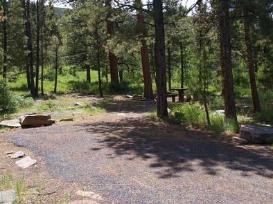
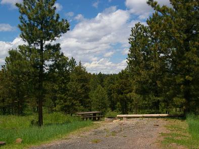
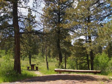
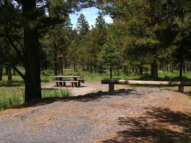
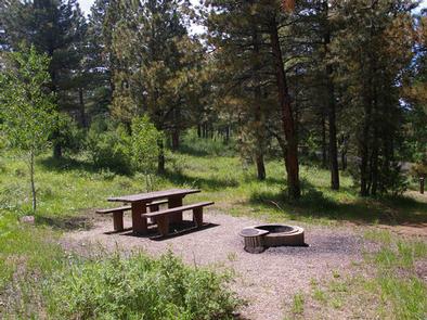
The campground contains 17 single-family sites, each equipped with a picnic table and campfire ring. Vault toilets are provided. There is no drinking water available.
Natural Features
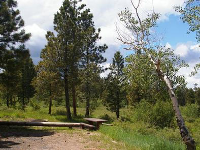
Skull Creek lies in a hillside forested with ponderosa pines and aspens near Flaming Gorge Reservoir at an elevation of 7,400 feet. The campground is partially shaded. Summer wildflowers dot the landscape.
Nearby Attractions
Flaming Gorge National Recreation Area is known not only for its beautiful red cliffs, but also for its world-class fishing for lake, brown and rainbow trout. Boating, water skiing, jet skiing, canoeing, kayaking, swimming and scuba diving are popular activities on the reservoir.
Flaming Gorge Dam offers guided tours of the working hydroelectric plant and the dam itself; The adjacent visitor center contains area history exhibits.
The Green River below the dam provides spectacular rafting opportunities. A trip down the river offers unique geology, outlaw history and Native American rock art.