


Directions
From Columbus, Ohio, take I-71 north to exit 121 for Polaris. Turn right on Polaris Parkway, left on Worthington Road, left on Africa Road, then left on Lewis Center Road. Shelters are in the Below Dam Area.
Phone
740-548-6151
Activities
BIKING, BOATING, CAMPING, INTERPRETIVE PROGRAMS, FISHING, HIKING, HORSEBACK RIDING, HUNTING
Keywords
ALCR,ALUM CREEK LAKE,ALUM CREEK PARK,ALUM CREEK BELOW DAM REC. AREA,ALUM CREEK DAM SITE,ALUM CREEK DOWNSTREAM AREA,ALUM CREEK,MAPLE SHELTER,OAK SHELTER,BUCKEYE SHELTER
Related Link(s)
Overview
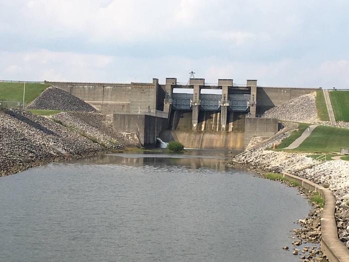
Alum Creek Lake is located in Delaware County, Ohio, just 30 minutes north of Columbus. The lake provides an ideal location for boating, fishing, camping, hiking and hunting.
Recreation
Alum Creek Lake is known as one the best fishing lakes in the state. A wide variety of fish including white, rock, small and largemouth bass, bluegill, white and black crappie, sunfish, channel catfish and walleye thrive in the lake.
This spacious day-use area is also a popular spot for water sports and swimming. A boat ramp, large swimming beach and marina are all located nearby.
Facilities
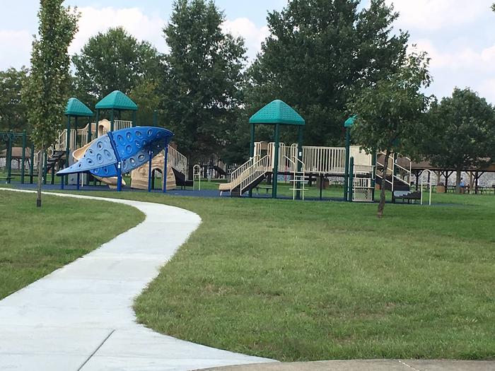
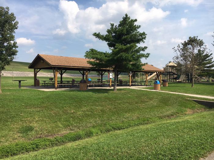
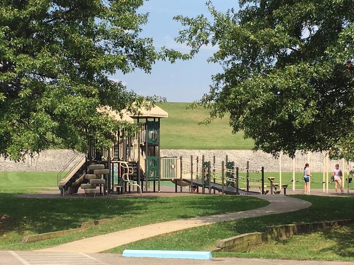
Alum Creek offers three group day-use picnic shelters in the Below Dam Area. Each shelter is accessible, can accommodate up to 100 guests and offers electric hookups. Drinking water, tables and grills are provided. Flush toilets and playgrounds are on-site and the area has great access to fishing. Individual sites with picnic tables and grills are scattered around the shelters and are available on a first come, first serve basis. At the Visitor Center you will find interactive exhibits, programs, and a 48 seat theater to ensure that there is something for every member of the family. The visitor center is located 1 mile East of the Below Dam Recreation Area and Picnic Shelters! A friendly staff, maps and brochures are available to assist you at the Visitor Center.
Natural Features
The lake is situated among gently rolling hills, where open meadows and wooded areas cover the shoreline. A variety of songbirds and waterfowl can be found in the area.
Nearby Attractions
Alum Creek State Park is adjacent, boasting a 3000-foot swimming beach, a marina with a variety of boat rentals and a large campground. Hiking, mountain biking and horseback trails meander through the park.
Other attractions near the lake include the Columbus Zoo, the Center of Science and Industry and the Olentangy Indian Caverns.