
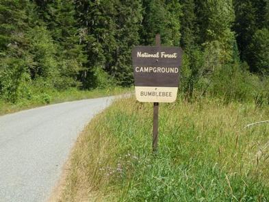
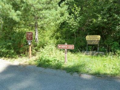
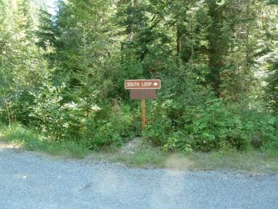
Directions
Take the Kingston Exit off Interstate 90 and take Forest Road 9 North for 5.4 miles. Turn left onto Bumblebee cutoff and head 3 miles to the campground sign at the junction with Forest Road 796. Turn right onto Forest Road 796 and go 0.1 miles to the campground. Single sites are on the loop to the right and the group site is the loop on the left.
Phone
435-245-6521
Activities
BIKING, CAMPING, HIKING, SWIMMING SITE
Keywords
BUMB,BUMBLEBEE CAMPGROUND,IDAHO PANHANDLE NF – FS
Related Link(s)
Overview
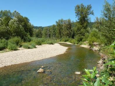
Bumblebee Campground is nestled in a dense forest near the Little North Fork Coeur D’Alene River, making it a perfect fishing and seasonal hunting base camp. Swimming and floating the river are popular activities as well.
Recreation
Bumblebee’s creekside location creates easy access for floating, swimming and wading. Trout fishing is available about a half-mile from the campground in the Little North Fork of Coeur d’Alene River. Rainbow and cutthroat trout are the most common catches.
About 15 miles from the campground is the 803 Motorized Trail System, which provides dedicated off-road trails and open roads in the Steamboat Creek area.
Facilities
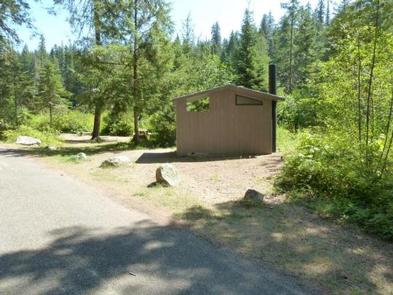
Bumblebee is comprised of two loops, each with vault toilets and hand-pumped drinking water. Roads are paved and campsite parking spurs are sealed gravel.
Several single-family campsites are available. A group site can accommodate up to 100 people.
Natural Features
The campground sits next to Bumblebee Creek near the Little North Fork Coeur D’Alene River at an elevation of 2,200 feet.
Coeur d’Alene National Forest spans 726,819 acres and is one of three forests comprising the Idaho Panhandle National Forests. The majority of Idaho’s waters are located in this northern region.
Nearby Attractions
The town of Coeur d’Alene is a delightful place to explore. Visitors can go paddle boating or parasailing on Lake Coeur d’Alene, or even take a trip around the lake on a seaplane. A variety of shops and restaurants are available.
Charges & Cancellations
A $10.00 service fee will apply if you change or cancel your reservation. Late cancellations are subject to additional fees. For full details see NRRS Reservation Policy.