OSPREY, ID Campground Reservation, Info, Images, Map, Directions

OSPREY, Idaho Campground Images, Info & Reservations

Directions

From I-90, turn at Post Falls Highway 41 north to Newport. Take Highway 2 east to Priest River at the junction of Highway 57 and Highway 2. Turn left at the Texaco station on Highway 57 and drive 25 miles to Outlet Bay Road. Turn right for approximately 0.5 miles and left on Lakeshore Road. There is a directional sign pointing the way to Osprey Campground.

Phone

435-245-6521

Activities

BIKING, BOATING, CAMPING, FISHING, HIKING, WATER SPORTS, CANOEING, SCUBA DIVING

Keywords

OSPR,IDAHO PANHANDLE NF – FS

Related Link(s)

Rec Area Info & Images

Forest Service Concessionaire

Idaho State Tourism

Idaho State Road Conditions

Overview

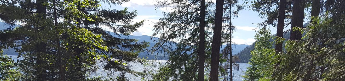
Campers come to Osprey for sunshine and boating at Priest Lake, and for breathtaking views of the rugged Selkirk Mountains. Fishing is also a big draw, with trout just waiting to be caught.

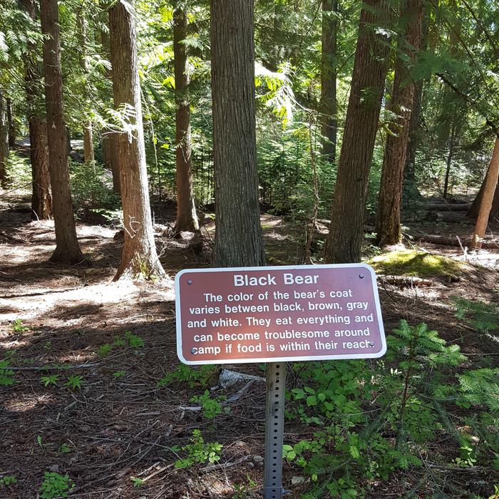
While here, watch for moose, grizzly and black bears, wolves, mountain lions and deer. Osprey, as inferred by the campground name, also inhabit the area.

Recreation

Boating, canoeing, kayaking and wake boarding are summertime favorites. Boaters like to head north on the lake and traverse a narrow thoroughfare to reach Upper Priest Lake Scenic Area.

Anglers often catch Dolly Varden and cutthroat trout and kokanee salmon.

Facilities

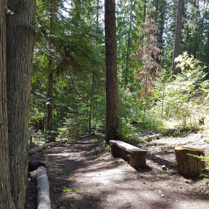
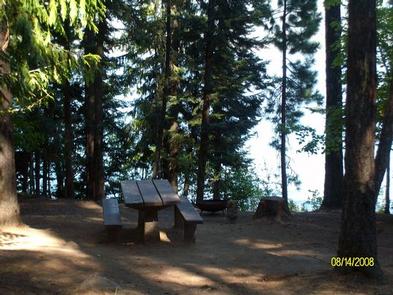
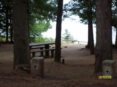
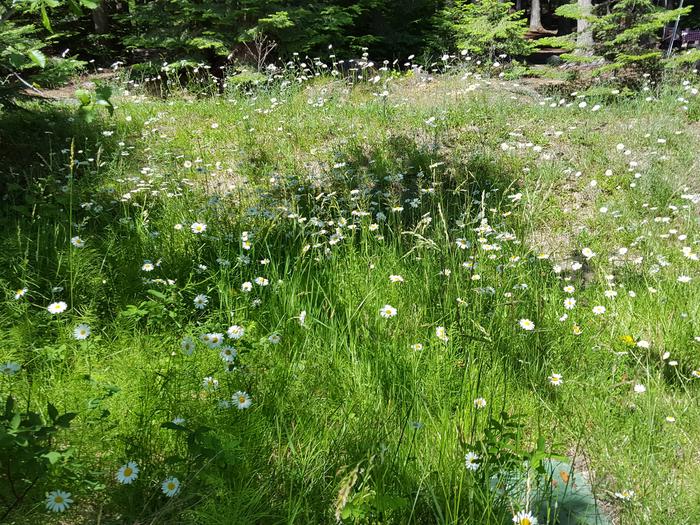
Campground roads and parking spurs are paved and facilities are accessible. Amenities include flush toilets, fire rings and picnic tables that are naturally shaded by towering trees.

Natural Features

Osprey Campground is perched on the lower western shore of Priest Lake near Outlet Bay. The beautiful 25,000-acre lake is fed by springs trickling down from the Selkirks. The clear, blue lake reaches 300 feet in depth.

Nearby Attractions

Hike the Chipmunk Rapids Trail that traverses along the Kaniksu Marsh, Priest River and Chipmunk Rapids.

In winter, ice fishing, snowshoeing and snowmobiling are popular activities in the surrounding area.

Reservation

More from CampingHiking.net:

BRIDGES CAMPGROUND, Utah Campground Images, Info & Reservations

Directions From Huntington, Utah, travel north on Utah Highway 31 for 23 miles, to the campground. It is on the west side of Highway 31, at the mouth of Day Canyon. Phone (435)384-2372 Activities BIKING, CLIMBING, CAMPING, FISHING, HIKING, HUNTING, WILDLIFE VIEWING Keywords BRID,BRIDGES CAMPGROUND,DAY CANYON CAMPGROUND,MANTI-LASAL NF -FS Related

RIVER FOREST GROUP SITE, Florida Campground Images, Info & Reservations

Directions From Deland, Florida, drive west on State Route 44 to the first intersection after crossing the St. Johns River. Turn right on County Road 42, and the entrance to the campground is on the right. Phone 352-625-2520 Activities CAMPING, FISHING, HIKING Keywords RFGS,NFs IN FLORIDA – FS Related Link(s)

BEAVER CREEK CAMPGROUND, Montana Campground Images, Info & Reservations

Directions From West Yellowstone, drive 8 miles north on Highway 191, then 16 miles west on Highway 287. Phone (406)646-1012 Activities BIKING, CAMPING, FISHING, HIKING, WILDLIFE VIEWING, PHOTOGRAPHY, MOUNTAIN BIKING, STAR GAZING, BIRDING, BACKPACKING, MUSHROOM PICKING Keywords BECC,Beaver Creek,Beaver Creek Campground,Beaver Related Link(s) Rec Area Info & Images Montana State

HOLMES BEND, Kentucky Campground Images, Info & Reservations

Directions From Columbia, KY, take Cumberland Parkway to exit 49 and merge onto Highway 55 north. Continue for 1.5 miles, then turn right on Highway 551. After a mile turn left on Holmes Bend Road and follow directional signs to the campground. Phone 270-384-4623 Activities BIKING, BOATING, CAMPING, INTERPRETIVE PROGRAMS,