
Directions
From the intersection of Highways 13 and 182 in Park Falls, drive east on Highway 182 for about 13 miles to Forest Road 144. Turn right (south) and continue on Forest Road 144 for 1 mile to Forest Road 1903. Turn left (east) onto Forest Road 1903 and drive 2 miles to the Newman Lake Recreation Area.
Phone
715-762-2461
Activities
BIKING, BOATING, CAMPING, FISHING, HIKING, WILDLIFE VIEWING, SWIMMING, CANOEING, BIRDING
Keywords
NLSH,CHEQUAMEGON-NICOLET NF – FS
Related Link(s)
Wisconsin State Road Conditions
Overview
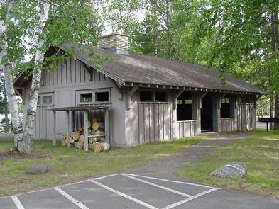
Newman Lake Shelter is a day-use picnicking shelter available for large groups. It is situated within the Newman Lake Recreation Area. A variety of recreational opportunities abound.
Recreation
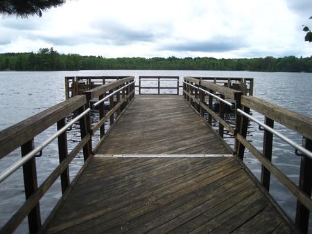
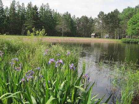
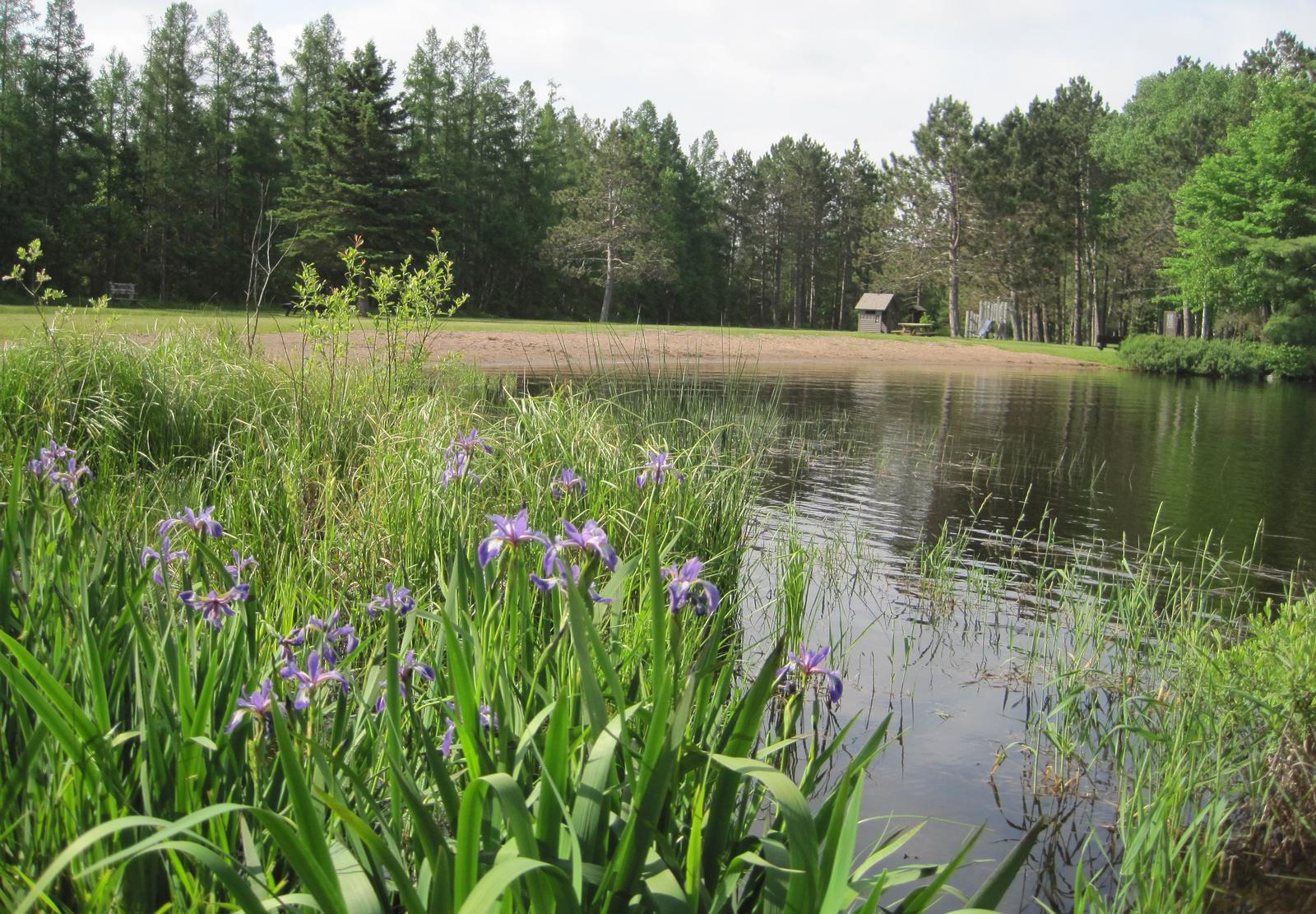
The recreation area contains a boat ramp, beach, accessible fishing dock, horseshoe pits and a playground for children. Visitors enjoy exploring many hiking and biking trails that are located near the picnic shelter. During the winter months, the trails are popular for cross country skiing. The beach provides opportunities for swimming, while the lake is a welcome respite for boaters and anglers alike. Fishing is a popular activity and a typical catch might include bluegill, crappie, various bass and perch.
Facilities
The accessible shelter can accommodate up to 50 people. It is equipped with tables, grills and a fire place. Vault toilets and drinking water are provided. Trash collection is also available.
Natural Features
The picnic shelter is located on the southeastern shores of Newman Lake in the Chequamegon-Nicolet National Forest in northern Wisconsin. The cold water lake and neighboring picnic shelter are nestled in a mixed forest of aspen and pine trees. A variety of birds and wildlife also make their home in the area.
Nearby Attractions
Park Falls, Wisconsin is 15 miles from Newman Lake and is a full service community.