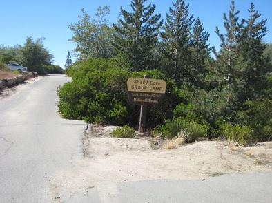
SHADY COVE GROUP CAMPGROUND, CA Campground Reservation, Info, Images, Map, Directions

SHADY COVE GROUP CAMPGROUND, California Campground Images, Info & Reservations

Directions

From Running Springs, drive approximately one mile on Highway 18 to the Deerlick Ranger Station/Children’s National Forest Visitor Center. Turn right on Keller Peak Road and continue about five miles. Follow signs to the campground.

Phone

909-866-8550

Activities

BIKING, CAMPING, INTERPRETIVE PROGRAMS, FISHING, HIKING, WILDLIFE VIEWING

Keywords

SHAC,Shady Cove,Children’s Forest,Deerlick,SAN BERNARDINO NF – FS

Related Link(s)

Rec Area Info & Images

California State Tourism

Forest Service Concessionaire

California State Road Conditions

Overview

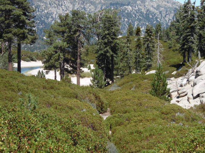
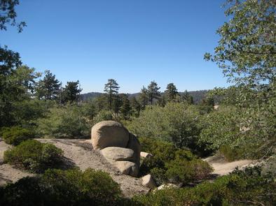
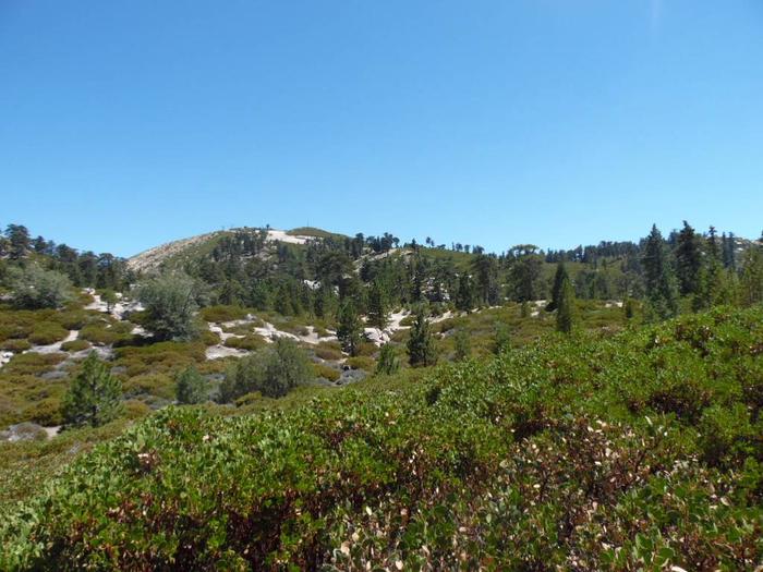
Shady Cove Group Campground is a beautiful place to camp within the Children’s National Forest. It provides access to numerous trails and a lookout tower, with a climbing area nearby. The Children’s Forest was burned in a devastating wildfire and was rebuilt with the help of area children.

Recreation

Hiking, biking and birding are popular activities. Many trails begin near the campground, including The Trail of the Phoenix. It is a short, paved interpretive trail that begins at the entrance to the Children’s National Forest, which is about three miles from the campground.

Facilities

The campground offers three group sites, one of which is accessible, for tent. Each site can accommodate up to 30 people and eight vehicles.

Each site is equipped with picnic tables, pedestal grills and a campfire circle. Accessible vault toilets and drinking water are provided.
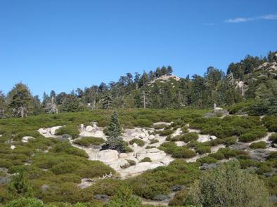
Natural Features

The campground is easily accessible, just off a paved road, and has forested tent campsites. It is situated in the mountains of Southern California at an elevation of about 6,000 feet.

Nearby Attractions

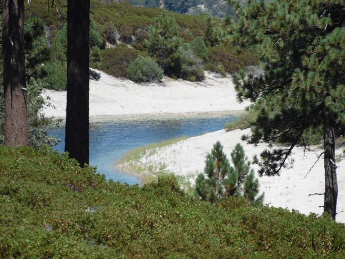
Arrowbear Lake is about five miles from the campground, where rainbow trout are stocked annually in the spring. The lake is adjacent to the community of Running Springs, which offers a variety of dining and shopping options, as well a grocery stores and fuel stations.

Reservation

More from CampingHiking.net:

WASHINGTON LAKE, Utah Campground Images, Info & Reservations

Directions From Salt Lake City, Utah, take I-80 east for approximately 30 miles to Exit 146 for Highway 40 toward Park City/Heber City/Vernal. Take Exit 4 onto Highway 248 toward Kamas. Take left onto UT 32 then right onto Highway 150 (Mirror Lake Scenic Byway). Go north approximately a half-mile

ROCKY POINT(WRIGHT PATMAN DAM), Texas Campground Images, Info & Reservations

Directions From Texarkana, take Highway 59 south to Wright Patman Lake. Just south of the Sulphur River Dam, turn right into the park area, following entrance signs. Rocky Point is just south of Piney Point Park. Phone 903-796-2419 Activities CAMPING, FISHING, HIKING, HUNTING, SWIMMING SITE Keywords ROP2,WRIGHT PATMAN LAKE,ROCKY POINT,ROCKY

SHOSHONE PARK KITCHEN, Idaho Campground Images, Info & Reservations

Directions From Mullan, drive east on Friday Ave, which turns into Larson Road. Total trip is about 3 miles. Look for signs to Shoshone Park. The West Kitchen is the first shelter when entering the park. Phone 208-783-2363 Activities BIKING, CAMPING, FISH HATCHERY Keywords SHOS,IDAHO PANHANDLE NF – FS Related

ROCKLAND RECREATION AREA, Tennessee Campground Images, Info & Reservations

Directions From Nashville, TN, take I-65 North to TN-386/Vietnam Veterans Blvd. Continue East on TN-386/Vietnam Veterans Blvd. to exit 3 for US-31E toward Hendersonville. Turn right onto Rockland Road (1st red light you come to), travel approximately 0.6 miles. Turn right onto Power Plant Road. Turn left onto Overlook Circle.