

Directions
From Williams, Arizona, take I-40 east to exit 165. Turn north onto State Highway 64 toward Grand Canyon and go a mile to the campground entrance on the left.
Phone
928-699-1239
Activities
BOATING, CAMPING, INTERPRETIVE PROGRAMS, FISHING, HIKING, HORSEBACK RIDING, WILDLIFE VIEWING, DAY USE AREA
Keywords
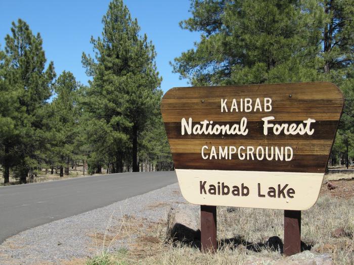
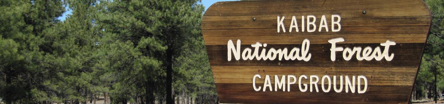
KAIB,Kaibab Picnic Area,Kaibab Lake,Kaibab,Kaibab Campground,KAIBAB NF – FS
Related Link(s)
Overview
Kaibab Lake sits among the diverse landscape of Kaibab National Forest of northern Arizona. The lake is a popular spot for fishing and picnicking, as well as for RV and motorhome campers. With Grand Canyon National Park just 60 miles north and several other cultural and historic sites nearby, the location is a hotspot for recreation, learning and sightseeing.
Recreation
Kaibab Lake is a popular area to join friends or family for a picnic in the cool pines. A number of forest attractions are easily accessed from the campground, such as overlooks, dams and hiking trails. A nature trail wanders through the facility.
Swimming is not allowed in the lake, but anglers can take to its shores or deeper waters via an accessible fishing pier and small boat ramp. On clear nights, campers can turn their eyes to the night sky to enjoy spectacular views of summer stars.
Facilities
The campground offers individual, double and group campsites with picnic tables and campfire rings. Tents, trailers and motorhomes up to 40 feet can be accommodated.
Campers have the convenience of a group picnic area, restrooms, trash bins and water faucets. Drinking water is provided, however motor homes and RV water tanks cannot be filled due to limited water supply. Firewood bundles, ice, bait and ice cream are can be purchased on-site.
Natural Features
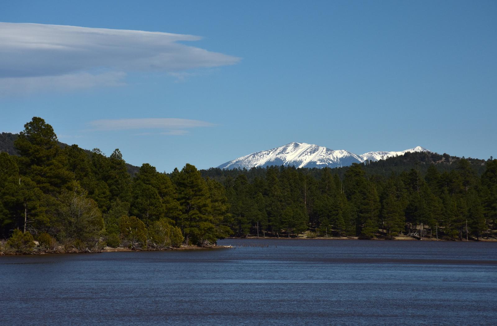
Kaibab National Forest is nestled on the Colorado Plateau, on an area of land that was uplifted by geologic processes. The lake sits at an elevation of 6,800 feet, and pine forests and grass line its shores, while wildflowers add extra color to the landscape in late spring and early summer.
Summer temperatures range from 50 degrees at night to 80-90 degrees during the day. Summer thunderstorms, known as the monsoon, can build up quickly, especially during July and August. Snow is common from December through March.
Nearby Attractions
Grand Canyon National Park’s South Rim is about one hour north of the campground. The cities of Williams and Flagstaff have amenities such as shops, restaurants and cultural and historic sites.
From canyons to prairies, peaks to plateaus, Kaibab National Forest offers layers of opportunity for peace, solitude and discovery. Over 300 miles of trails, some clinging to the rims of the Grand Canyon, allow visitors to step off the beaten path into uncrowded landscapes.