Directions
The campground is on Highway 101, 3 miles north of Yachats and 4 miles south of Waldport, Oregon. Look for campground and beach signs on 101.
Physical Address:
8199 Hwy 101 N
Yachats, OR 97498
Phone
541-547-3679
Activities
CAMPING, FISHING, HIKING, SWIMMING
Keywords
TILI,SIUSLAW NF – FS
Related Link(s)
Overview
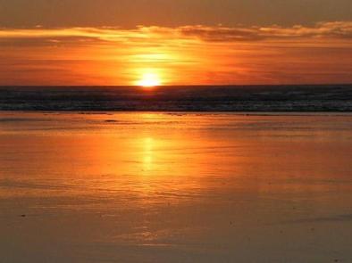
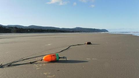
Tillicum Beach Campground is popular for many reasons, but the number one and most obvious is its location right on the beach. Campers are lulled to sleep by the sound of the ocean waves, then wake to sweeping views of the Pacific. The campground offers an ideal location for whale watching. Most campsites have beachfront views, and sunsets are not to be missed. Fishing, swimming and playing in the sand are the campground’s most popular activities.
Recreation
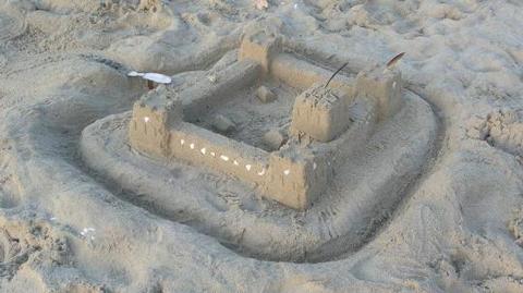
Campers enjoy Tillicum for its expansive sandy beach. Surfers and swimmers play in the waves just off-shore. Children love building sandcastles on the beach.
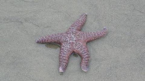
Walking along the beach is a great way to explore the area. Cape Perpetua is 6 miles south, where visitors can wander through old-growth Sitka spruce, experience the crashing surf, investigate tide pools, whale watch or take a guided hike.
Waldport, just 4 miles north, provides access to fishing, crabbing, clamming and shrimping in the Alsea Bay and River.
Facilities
The campground offers several single-family campsites, a few of which have both electric and water hookups. Sites with hookups are not on the waterfront. Due to the campground’s popularity, it’s a good idea to make reservations in advance.
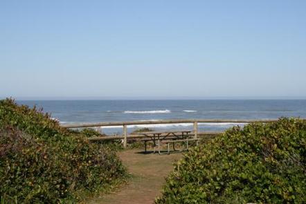
Each site is equipped with a picnic table and campfire ring. Flush toilets and drinking water are provided but there are no showers.
Natural Features
The coastal campground lies a couple miles south of where the Alsea River meets the Pacific Ocean. Tillicum is perfectly perched on the sandy beach yet it still offers some shade. The campground offers views of both the ocean and the Coastal Range.
Nearby Attractions
Heceta Beach is located nearby, giving visitors the opportunity to enjoy the Pacific Ocean. Mary’s Peak is the highest point in Oregon’s Coast Range and has been designed a Scenic Botanical Area because of its rich, unique scenery and plants.

