Directions
Take I-15 to exit 63 south of Pocatello. Follow the brown Mink Creek Recreation Area signs to Bannock Highway for 2 miles. Turn left up the canyon. Go 4.5 miles to the East Fork Mink Creek road and turn left. Go 5.3 miles up East Fork Mink Creek road to the campground.
Phone
208-236-7500
Activities
BIKING, CAMPING, HIKING, WILDLIFE VIEWING
Keywords
SCMT,Justice Park,Scout,Sterling Justice Park,CARIBOU-TARGHEE NF – FS
Related Link(s)
Overview
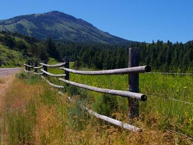
Scout Mountain Campground is located on beautiful Scout Mountain at an elevation of 6,900 feet, just 13 miles south of Pocatello, Idaho. Scout Mountain is part of the Mink Creek area, a popular place for birding and wildlife viewing. Visitors enjoy exploring a variety of local multi-use trails.
Recreation
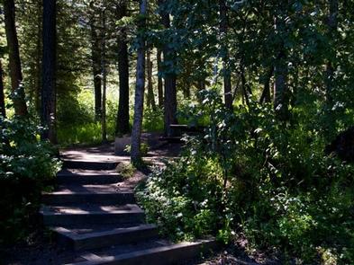
Hiking, mountain biking, horseback riding and dirt biking are very popular activities in the area. The paved 1-mile Scout Mountain Nature Trail loops the campground, leading to several overlooks. The East Fork Mink Creek Trail begins within the site and the Crestline Trail is nearby.
Facilities
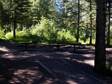
The campground contains one large group site for up to 100 people, with picnic and serving tables, grills and a campfire ring with benches.
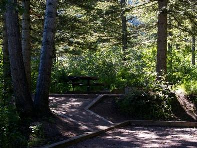
Single and double sites are available as well, with picnic tables, campfire rings, lantern posts and tent pads.
Vault toilets and drinking water are provided.
Natural Features
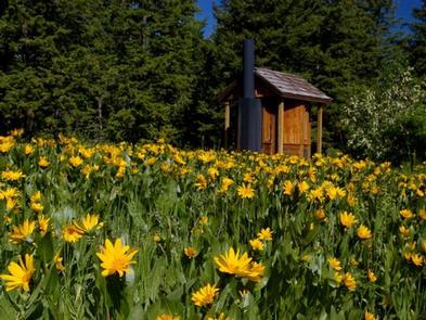
The campground sits high atop the Bannock Mountain Range in a scenic forest of Douglas fir, lodgepole pine and aspen, which offers partial shade. Summer wildflowers are abundant.
A wide variety of birds can be found in the area, including the Western Scrub-Jay, Juniper Titmouse, Bushtit, Blue-gray Gnatcatcher, Mountain Bluebird, Green-tailed and Spotted Towhees and Calliope Hummingbirds.
Nearby Attractions
Cherry Springs Nature Area is less than 6 miles from the campground, with its pretty namesake spring, a stream for fishing, paved self-guided nature trails and picnic facilities. Mink Creek Nordic Center is about 5 miles away, with hiking and horseback riding trails in summer months and groomed cross-country ski trails in the winter.
Charges & Cancellations
A $10.00 service fee will apply if you change or cancel your reservation. Late cancellations are subject to additional fees. For full details see NRRS Reservation Policy.

