
Directions
From Las Vegas, Nevada, travel north on Highway 95 to the junction with Highway 157/Kyle Canyon. Turn left and travel approximately 18 miles; campground is on the left side of the highway.
Phone
702-872-5486
Activities
BIKING, CAMPING, HIKING, WILDLIFE VIEWING
Keywords
FLET,MOUNT CHARLESTON,LAS VEGAS,SRING MTNS NATIONAL REC AREA,HUMBOLDT-TOIYABE NF-FS
Related Link(s)
Overview
Fletcher View Campground is set in the beautiful Spring Mountains National Recreation Area, just 24 miles from Las Vegas. Visitors enjoy hiking, horseback riding and scenic driving in this forested desert oasis.
Recreation
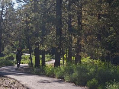
There is paved nature trail.
Facilities
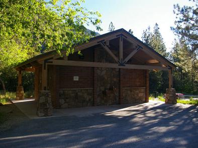
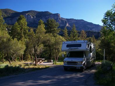
This recently updated campground is open year-round and contains several single and double-family sites, all of which have electric hookups, tables, campfire rings and grills. Drinking water is provided. Roads and parking spurs are paved.
Due to this campground being located in a flood plain, reservations are not available during the monsoon season (mid-July to mid-Sept.). During this time, overnight stays are available only as weather permits. High chances of rain in the forecast equal no overnight stays.
Natural Features
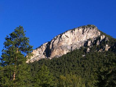
The Spring Mountains National Recreation Area is a beautiful island in the desert, brimming with breathtaking scenery and diverse flora and fauna. The Bristlecone pine, the world’s oldest organism, and the rare Mount Charleston blue butterfly are both found within the Spring Mountains.
More than 100 springs create the namesake for the mountain range. It’s the perfect place to escape the heat of the city.
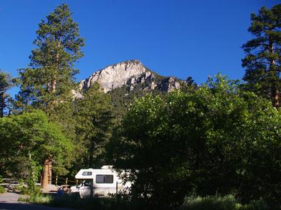
The campground is set in an open forest of ponderosa pine, mountain mahogany and Gambel oak, paralleling a seasonal stream and the highway. Most sites have views of the surrounding towering canyon walls.
Nearby Attractions
More than 60 miles of hiking and horseback riding trails crisscross the area; two trails allow mountain biking. Rock climbing, picnicking and scenic driving are popular activities.