

Directions
From Yakima, take Highway 12 west to the junction with Highway 410. Travel 39 miles on Highway 410 to the campground entrance.
Phone
541-338-7869
Activities
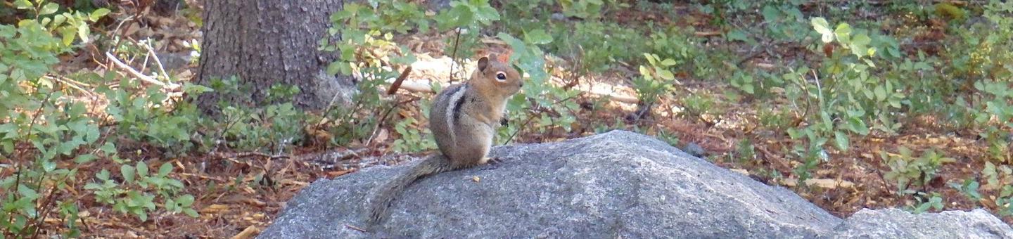
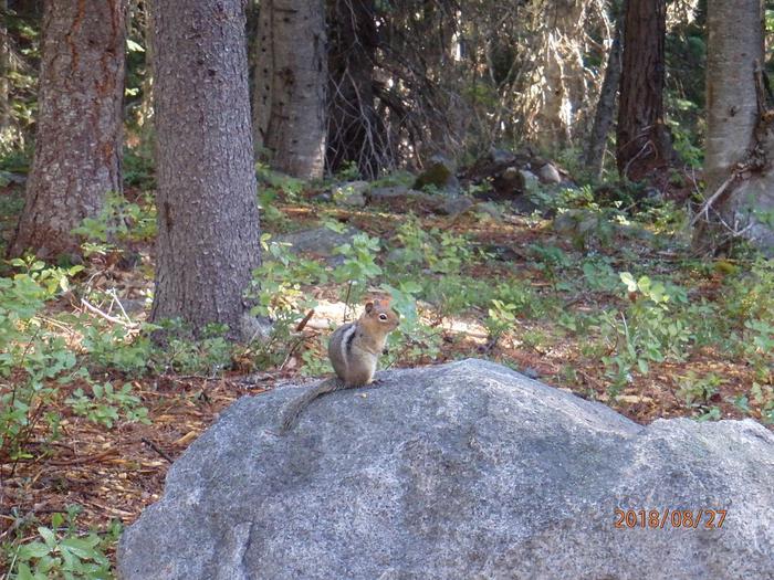
CAMPING, FISHING, HIKING, SWIMMING SITE
Keywords
LDPL,OKANOGAN – WENATCHEE NF -FS,LODGEPOLE,LODGEPOLE CAMPGROUND
Related Link(s)
Washington State Road Conditions
Overview
Lodgepole Campground is located in the Okanogan-Wenatchee National Forest in the Northern Cascade Range of Washington. With the scenic waters of the American River running alongside the site, and access to pristine wilderness, scenic highways and a multitude of recreational activities nearby, the campground offers an ideal setting for outdoor enthusiasts.
Please note, this campground IS NOT within Sequoia National Park.
Recreation
Lodgepole Campground offers outdoor enthusiasts the opportunity to hike, fish, ski, raft and enjoy a multitude of outdoor recreational activities throughout the year.
Beautiful rivers and streams, high elevation lakes, reservoirs, and small ponds provide an endless number of fishing opportunities for the experienced and beginning angler. The American River, adjacent to the campground, supports a variety of trout including rainbow, brook, and cutthroat.
The river also offers a scenic backdrop for swimmers braving its cold, refreshing waters. Whitewater enthusiasts enjoy rafting on the American or one of the many other rivers in the area.
Facilities
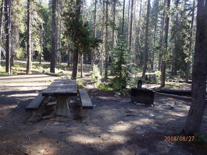
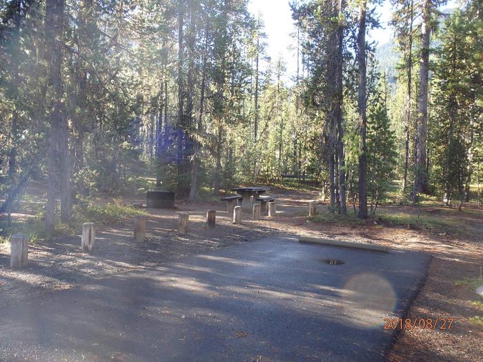
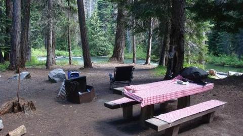
Lodgepole Campground offers several standard sites, accomodating both tent and RV camping. Picnic tables, vault toilets and drinking water are available, however there are no electrical hookups.
Natural Features
The stunning beauty of the Okanogan-Wenatchee National Forest attracts visitors from throughout the country, with its high, glaciated alpine peaks towering along the Cascade Crest. Lush valleys of old-growth forest define its western boundary and at its eastern edge, rugged shrub-steppe country comprises a more arid region. Elevations range from below 1,000 feet to over 9,000 feet.
Precipitation varies greatly thoughout the area, ranging from approximately 140 inches along the Cascade Crest to only 10 inches along the eastern edge. Visitors can expect many days of warm, sunny weather in the summer and clear skies and plenty of snow in the winter.
Nearby Goat Rocks Wilderness is an exciting adventure for those wanting to traverse higher elevations. Peaks within the area are remnants of an extinct volcano, taking the name “Goat Rocks,” in honor of the numerous mountain goats traversing this isolated region. Gilbert Peak is the highest summit in this area at an elevation of 8,184 feet.
Nearby Attractions
Crow Lake, Swamp Lake, Cougar Valley and Union Creek Trails all have trailheads near Lodgepole Campground. Hikers may also want to traverse at least a portion of the spectacular Pacific Crest Trail (PCT), one of the world’s premier National Scenic Trails.
Boulder Cave National Recreation Trail is one of the most popular places in the Naches District. Visitors can walk the accessible trail along the river or explore Boulder Cave. Interpretive signs along the trail explain the geology, plants, animals and fire history of the area.
Nearby Mount Rainier National Park offers fantastic glimpses of glaciers, subalpine ecology and volcanic landscapes.