
Directions
From Weiser, Idaho, travel north on Highway 95 for approximately 12 miles, then turn onto Upper Mann Creek Road/Forest Road 009 and travel another 18 miles to the campground.
Phone
208-549-4200
Activities
BIKING, CAMPING, FISHING, HIKING, HUNTING, WILDLIFE VIEWING, DAY USE AREA
Keywords
SPCK,SPRING CREEK GROUP SITE,SLEEPING SPRINGS INTERPRETATION,PAYETTE NF – FS
Related Link(s)
Overview
Spring Creek Campground is located along the peaceful Spring Creek in the Hitt Mountains of western Idaho. Visitors enjoy relaxing along the gentle creek, fishing and exploring local trails.
Recreation
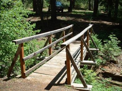
Several miles of hiking, biking and off-road vehicle trails crisscross the area.
The Sturgill Peak Trail climbs to a 7,289-foot summit and an active fire lookout built in 1934. Hikers are rewarded with views of the surrounding Hitt Range and the Wallowa Mountains to the west.
Facilities
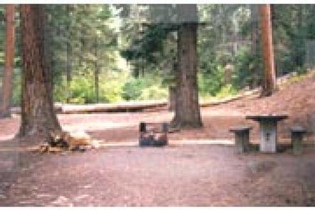
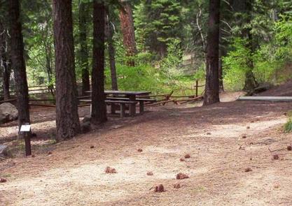
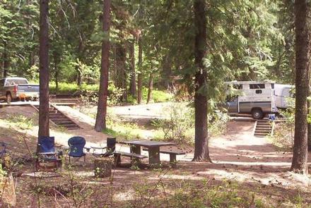
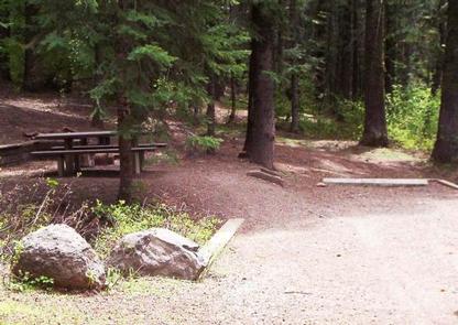
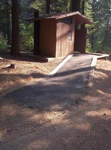
The campground offers several single-family campsites and one large group picnic site than can accommodate up to 100 guests. Picnic tables and fire rings are provided, as are accessible vault toilets and drinking water.
Natural Features
The campground is situated beneath tall ponderosa pine and fir trees at an elevation of 4,750 feet. Summer temperatures are hot during the day, but the surrounding trees provide ample shade.
The Payette National Forest encompasses some of Idaho’s most beautiful and diverse country. Located in west-central Idaho north of Boise, the 2.3 million-acre forest extends 100 miles west to east from Hells Canyon to the Middle Fork Salmon River, and 70 miles north to south from the Salmon River to the Weiser River.
Nearby Attractions
Mann Creek Reservoir is about 15 miles from the campground, offering boating and fishing opportunities.