
Directions
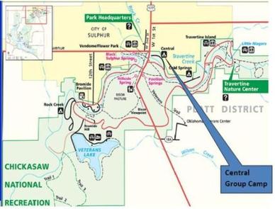
From I-35, take Exit #55 and drive towards the city of Davis, OK. Once in Davis, go east on Highway 7 to the Chickasaw National Recreation Area you desire. Drive approximately 8 miles east to Sulphur Sulphur (Jct Hwy 7 and Hwy 177). Turn south (right) for approximately .2 miles on Highway 177 and take the first left. Central Campground is .25 mile east on NE Perimeter Road. Cold Springs Campground is approximately another .4 miles east of Central. The Travertine Nature Center is approximately .9 miles east of Cold Springs.
Phone
580-622-7234
Activities
BIKING, HISTORIC & CULTURAL SITE, CAMPING, HIKING, PICNICKING, WATER SPORTS, WILDLIFE VIEWING, SWIMMING SITE
Keywords
CGCG,CHICKASAW NATIONAL REC. AREA,PLATT NATIONAL PARK,ARBUCKLE LAKE,LAKE ARBUCKLE,LAKE OF THE ARBUCKLES,the park,the lake,CHICKASAW
Related Link(s)
Oklahoma State Road Conditions
Overview
Central Group Camp is in the Platt Historic District of Chickasaw National Recreation Area. It’s conveniently located near Travertine Creek, several hiking trails and various natural springs. The woodland environment is home to animals like opossum, raccoons and deer.
Chickasaw National Recreation Area is Oklahoma’s only national park, and one of the nation’s oldest major campground destinations. It was designated as Platt National Park in 1906, then expanded into Chickasaw National Recreation Area in 1976.
Today, it’s a 10,000-acre playground for all types of visitors.
Recreation
Swimming and hiking are among the favorite activities at the campsite. A short walk takes you to Panther Falls, a refreshing swimming area.
Nearby hiking trails meander along streams, past cool rushing waterfalls, and on to mineral and freshwater springs.
Facilities
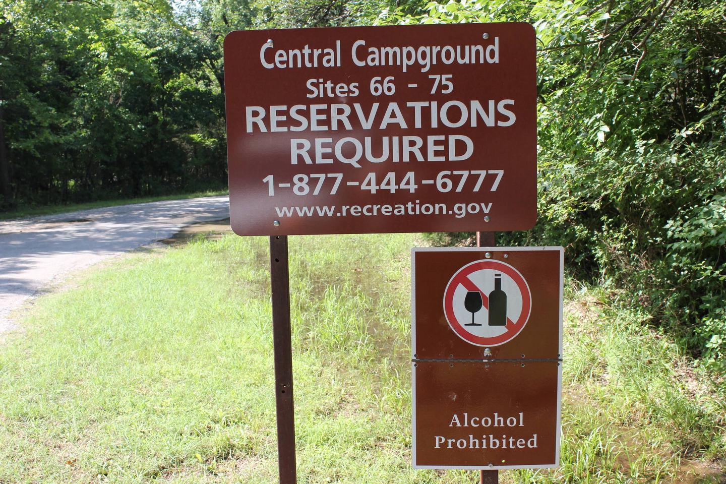
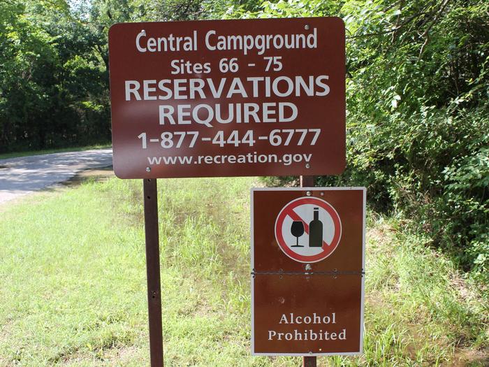
The campsite is on a loop that surrounds a spacious field for activities like volleyball, football or horseshoes. There are 10 group sites open seasonally, and water spigots are close to the campsites.
Natural Features
The springs and streams in Chickasaw originate within a region of Oklahoma characterized by complex geology.
Intense faulting, folding, uplift and erosion have combined to form a land surface of gently rolling hills dissected by streams.
Nearby Attractions
Try Little Niagara, a favorite freshwater swimming hole.
The Travertine Nature Center is a wonderful resource to view nature exhibits, meet live animals on display, and listen to rangers’ presentations.
A bison pasture is nearby, so bring the kids and cameras to see the beautiful animals grazing.