
Directions
Newhalem Campground is located at mile marker 120 on State Route 20. From Burlington, WA, drive 60 miles east on State Route 20. From Twisp, WA, drive 82 miles west on State Route 20.
Phone
(360) 854-7200
Activities
BIKING, HISTORIC & CULTURAL SITE, CAMPING, INTERPRETIVE PROGRAMS, HIKING
Keywords
NEWH,North Cascades National Park,Newhalem,GOODELL,Newhalem Creek,new halem creek,new halem,NEW CASCADE
Related Link(s)
Washington State Road Conditions
Overview
Newhalem Campground is a comfortable facility close to the town of Newhalem, Washington and the Skagit River. It is surrounded by forests that that can be explored through the area’s many hiking trails. The campground has individual campsites as well as two group sites. It is private and secluded, yet the town, a visitor center and other amenities are only a short walk away.
Recreation
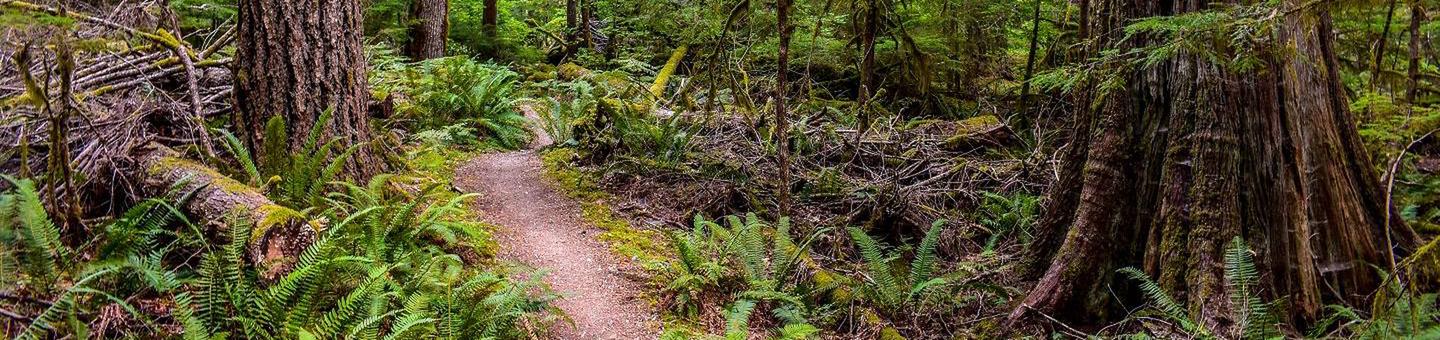
Visitors can walk to several of Newhalem’s hiking trails from the facility, such as the River Loop Trail, Trail of the Cedars and Rock Shelter Trail. The creek and river are popular for fishing, though there is no boating access from the campground. Both grizzly and black bears inhabit the area, so caution must be taken while hiking, picnicking or camping.
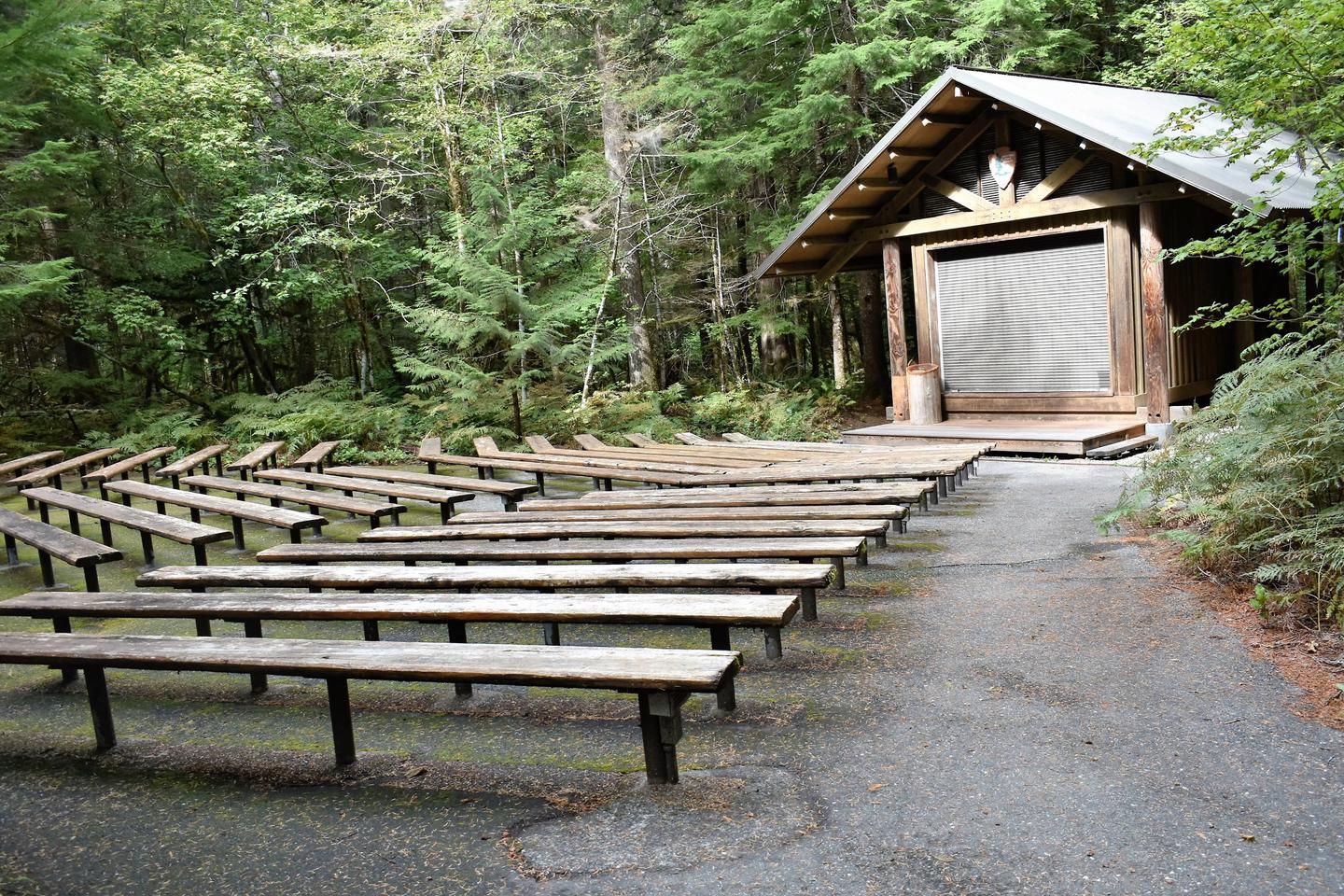
Campers who wish to learn more about the area can attend interpretive programs, or participate in a variety of tours, which can be booked at the Skagit Information Center in town. Visitors can walk to town of Newhalem via a mile-long trail along the river. Those staying in the group campsites are also a half-mile away from the North Cascades Visitor Center.
Facilities
The campground is set across the road from the river; the group sites are adjacent to the main campground and closer to the river. The two campsites are separated from each other and forested, giving campers privacy yet still offering the convenience of a large facility close to town. There are a few family sites, which are for visitors with more than one or two cars. Within the family sites, there is extra parking available for RVs and several tent sites as well. Family sites are different than the group sites, which are on the group loop and can hold up to 30 people. The entire facility offers drinking water, flush toilets and paved roads.
Natural Features
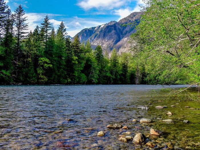
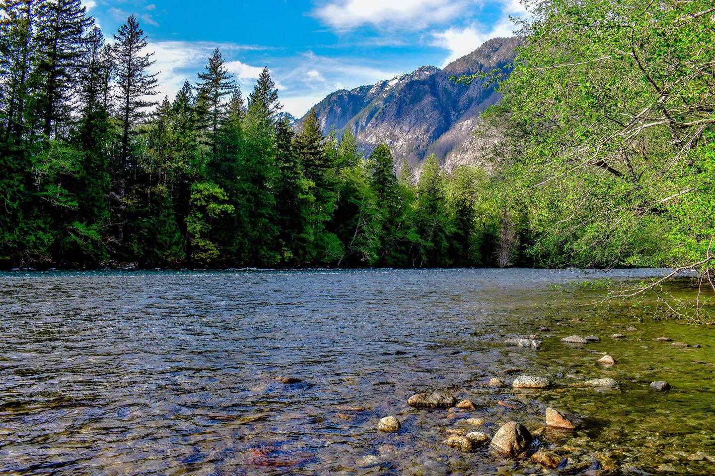
The campground is forested with western redcedar, western hemlock, Douglas-fir, wild red huckleberries, and other native shrubs. Nearby is Newhalem Creek and the Skagit River. The river is the largest river that flows into the Puget Sound area and provides critical habitat for all species of Pacific salmon; there is a salmon-viewing station located near the group campsites. The river drains cold, clean glacial melt-water from the mountains of British Columbia and northern Washington. Bald eagles return to its shores every winter.
Nearby Attractions
The town of Newhalem is within a short walking distance from the campsites.