

Directions
From Interstate 80 in Truckee take exit 188, Highway 89 north toward Sierraville. In approximately 3.5 miles turn right at the sign for Prosser Recreation Sites. In one mile the campground will be on the left..
Phone
(530)587-3558. FOR RESERVATIONS, PLEASE CALL: 1 (877) 444-6777.
Activities
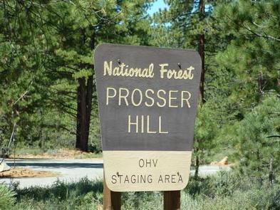
BOATING, CAMPING, FISHING, HIKING, SWIMMING, MOUNTAIN BIKING, WATER ACTIVITIES, KAYAKING, CANOEING, OFF HIGHWAY VEHICLE TRAILS
Keywords
LATR,LAKESIDE TRUCKEE,TAHOE NF – FS
Related Link(s)
California State Road Conditions
Overview
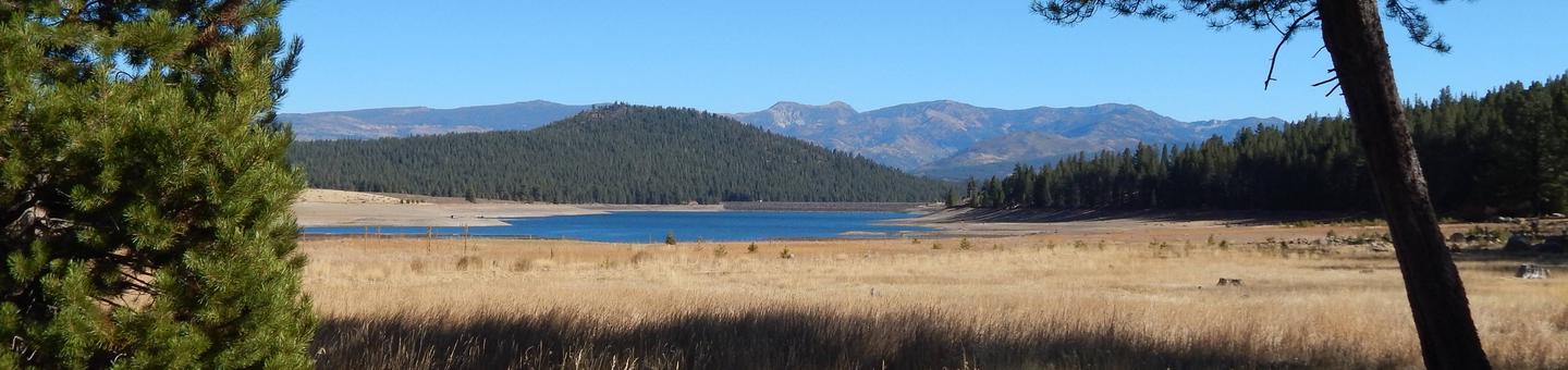
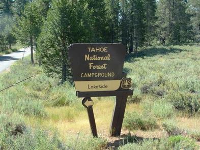
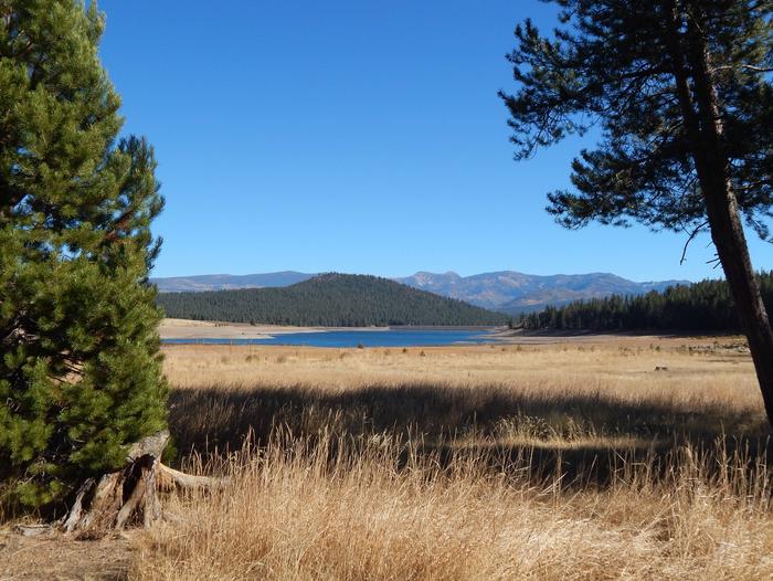
Lakeside Campground is located on the picturesque Prosser Reservoir in the Tahoe National Forest, just 10 minutes north of Truckee. Visitors enjoy the area for its boating, canoeing, fishing and abundant hiking and off-road trails. This facility is operated and maintained by the Tahoe National Forest.
Recreation
Prosser Reservoir is a popular location for canoeing, swimming and fishing. Power boating is allowed but a 10-mph speed limit is enforced. A boat ramp is located about a mile south of the campground near Prosser Ranch Group Campground. The surrounding area offers many hiking, biking, horseback riding and off-road vehicle trails.
Facilities
The campground offers single-family campsites. Each site is equipped with a picnic table and campfire ring. Vault toilets and drinking water are provided.
Natural Features
The campground is situated on the northwestern shore of the reservoir, in an open area with scattered lodgepole pine and fir trees. Some sites have limited shade, while others are in full sun. Many sites have views of the reservoir and surrounding mountains.
Nearby Attractions
Boca Reservoir is 30 minutes east of the campground, offering additional boating, water skiing, swimming and fishing opportunities. Truckee, 10 minutes south, offers all the amenities of a year round recreational mountain town including interstate highway connectivitiy, top notch restaraunts, resorts, and hotels, grocery stores, gas stations, shopping, and historic sites. Lake Tahoe is located 30 minutes south and offers excellent boating, kayaking, fishing, hiking and scenic driving opportunities, as well as dining, shopping and lodging options. Other recreational opportunities include Donner Camp Interpretive Trail, Overland Emigrant Commemorative Trial, Stampede Reservoir Recreation Area, Prosser Pits OHV area, and numerous hiking, mountain biking, and OHV trails.