
Directions
From Manila, Utah: Travel 7 miles south on Highway 44 to Sheep Creek Geological Loop. Site is a short distance from Carmel Campground on Sheep Creek.
Phone
435-784-3483
Activities
BIKING, BOATING, CAMPING, INTERPRETIVE PROGRAMS, FISHING, HIKING, WILDLIFE VIEWING, SWIMMING SITE
Keywords
NVJC,NAVAJO,NAVAJO CLIFFS,NAVAJO CLIFF,FLAMING GORGE,ASHLEY NF – FS
Related Link(s)
Overview
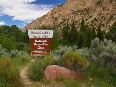
Navajo Cliffs is an ideal group day-use site for weddings, reunions and large gatherings. It’s just 7 miles south of Manila, Utah, along the scenic Sheep Creek Geological Loop at an elevation of 6,200 feet.
Recreation
Sheep Creek offers rainbow trout and kokanee salmon fishing. Boating, fishing, canoeing, water skiing and swimming are popular activities on nearby Flaming Gorge.
Facilities
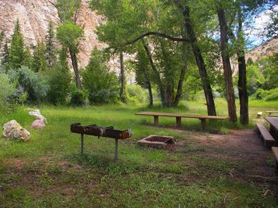
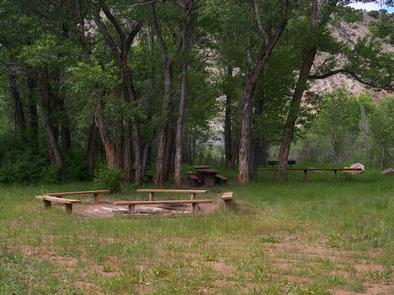
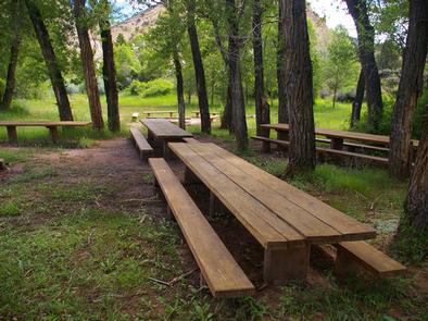
This group day-use site can accommodate up to 80 people. Large picnic tables, a serving table, grills and a campfire ring with benches are provided. A vault toilet and garbage service is provided but there is no water. Picnickers must bring their own supply.
Natural Features
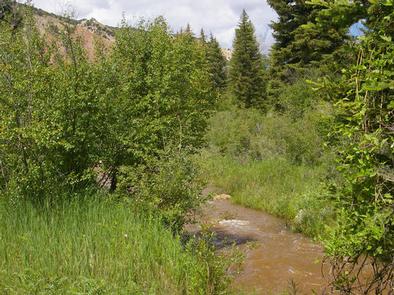
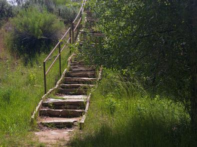
The site offers beautiful views of unique Navajo Cliffs. Shady trees line the banks of Sheep Creek, which runs through the site. Wildlife is plentiful in the area. Typical weather ranges from warm days to cool nights.
Nearby Attractions
Flaming Gorge National Recreation Area is known not only for its beautiful red cliffs, but also for its world-class fishing for lake, brown and rainbow trout. Boating, waterskiing, jet skiing, canoeing, kayaking, swimming and scuba diving are popular activities on the reservoir.
Flaming Gorge Dam offers guided tours of the working hydroelectric plant and the dam itself; The adjacent visitor center contains area history exhibits.
The Green River below the dam provides spectacular rafting opportunities. A trip down the river offers unique geology, outlaw history and Native American rock art.