
Directions
From Cascade, turn east on Warm Lake Highway. Travel approximately 26 miles along the paved road to Forest Road 489 and turn south. Continue about a half-mile past the Shoreline Campground and North Shore Lodge. The campground will be located just past the lodge, on the left side of the road.
Phone
208-382-7400
Activities
BIKING, BOATING, CAMPING, FISHING, HIKING, WILDLIFE VIEWING, SWIMMING SITE
Keywords
PICP,Picnic,Tent Campground,Picnic Point,Walk in Camp,BOISE NF – FS
Related Link(s)
Overview
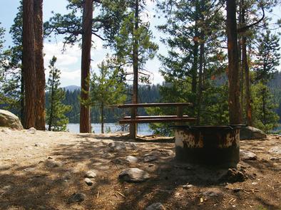
Picnic Point Campground is located on a bluff overlooking beautiful Warm Lake, at an elevation of 5,300 feet. Visitors enjoy boating, fishing, swimming, hiking and viewing local wildlife.
Recreation
Warm Lake offers great fishing opportunities for cutthroat, rainbow, lake and bull trout. Boating, canoeing and swimming are popular activities. A boat ramp is located at neighboring Shoreline Campground. Billy Rice Swim Beach is within walking distance, offering a day-use site for picnicking and access to a swimming beach.
The surrounding area offers great hiking, mountain biking, horseback and off-road vehicle riding and hunting. The WeWuKiye (Wa Wu Kia) Trail No. 252 was recently built and can be accessed nearby, at the entrance to Shoreline Campground. It is available for hiking and mountain biking.
For off-road vehicle enthusiasts, Telephone Ridge Trail No. 112 offers 20 miles of trails for all riding levels, with staging areas at Shoreline Campground and at Warm Lake Campground down the road.
Facilities
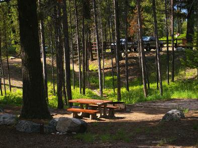
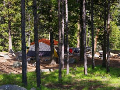
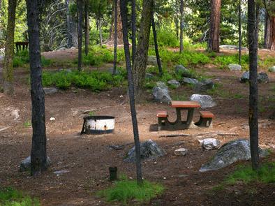
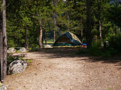
The campground offers tent-only campsites, which can be accessed via a 50 to 200 foot hike from the parking area. Some sites overlook the scenic lake. Stairs lead to the lakeshore from three locations within the campground.
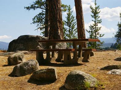
Sites are equipped with a table, campfire ring and grill. Vault toilets, drinking water and trash collection are provided throughout the campground, but electricity is not available. The parking area is dirt, as are the pathways within the campground.
Natural Features
The campground is situated beneath towering ponderosa pines, which provide partial shade. Summer wildflowers are abundant in the area. A variety of wildlife including bears, deer, elk, fox, grouse, eagles, osprey, grosbeaks, whooping cranes and otters, lives around the lake.
Nearby Attractions
Rustic North Shore Lodge is not far from the campground, offering a small restaurant, lounge and store with limited supplies.