
Directions
The recreation area is located just south of Utah Highway 31, on Miller Flat Road. The Miller Flat road connects Highway 31 with Joe’s Valley Reservoir 21 miles to the south.
Phone
435-384-2372
Activities
BIKING, BOATING, CAMPING, FISHING, HIKING, HUNTING, WILDLIFE VIEWING
Keywords
LAKC
Related Link(s)
Overview
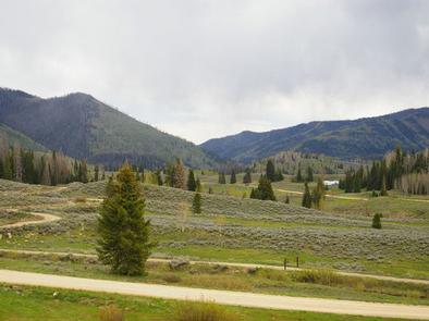
Lake Canyon Recreation Area can be found along Utah’s scenic Energy Loop, on top of the Wasatch Plateau. It is located just off Highway 31, approximately 18 miles east of the town of Fairview. The recreation area is situated between Huntington and Cleveland reservoirs, at an approximate elevation of 9,000 feet. The area is a paradise for anglers and off-road vehicle enthusiasts.
Recreation
Huntington Reservoir has great tiger and cutthroat trout fishing, while Cleveland Reservoir offers great fishing for rainbow trout. Both reservoirs are perfect for canoeing and kayaking, however boat ramps are not available.
The extensive Lake Canyon OHV Trail System offers many miles of exciting trails and three beginner loops, making the area accessible to riders of all skill levels. Horseback riding, hiking and mountain biking are popular as well.
Electric Lake is nearby, offering boating, water skiing and fishing for tiger and cutthroat trout. A boat ramp is on-site there.
Facilities
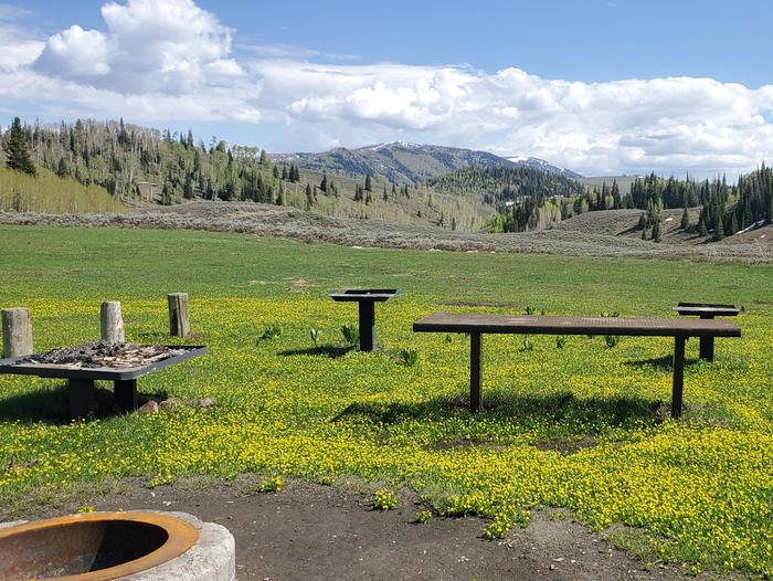
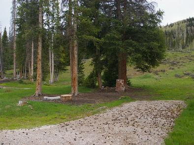
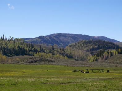
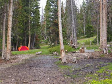
This expansive, yet primitive recreation area contains several campsites that can accommodate groups ranging in size from 20 to 150 people. Approximately 50 additional single-family campsites are dispersed throughout the area.
Vault toilets are provided, but there is no water, electricity or garbage service available within the recreation area. Visitors should bring their own water and pack out all garbage.
Natural Features
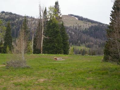
The area is situated in a broad mountain valley, surrounded by the scenic peaks of the Wasatch Plateau. Stands of aspen and pine trees provide limited shade, and grasses, sagebrush and summer wildflowers fill the meadows.