
Directions
From Blue River, OR, travel 4 miles east on Highway 126 to Aufderheide Drive (Forest Service Road 19). Turn right on Aufderheide Drive and continue south about 3/4 mile. Veer right at the Y and continue 10 miles to the campground.
Phone
801-226-3564
Activities
FISHING, WILDLIFE VIEWING
Keywords
HROC,WILLAMETTE NF -FS
Related Link(s)
Overview
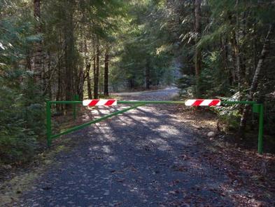
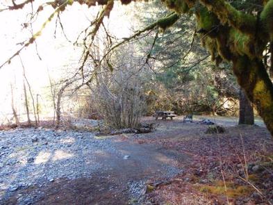
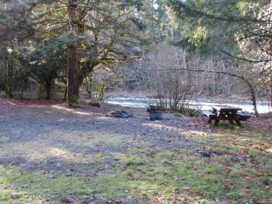
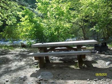
Hard Rock Campground is a small, primitive group site along the South Fork of the McKenzie River in Oregon. Many hiking trails are available in the surrounding area and the river offers fishing opportunities.
Recreation
The river offers good catch-and-release fishing for wild redside and cutthroat trout. Cougar Reservoir is open to motorized boating and offers a beautiful setting.
Facilities
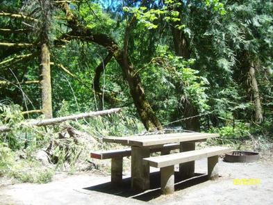
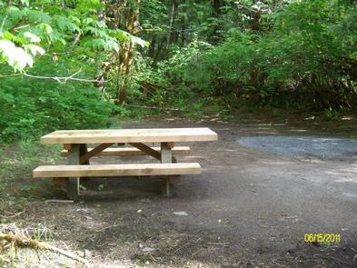
The campground offers one tent-only group campsite that can accommodate up to 10 people. No water or electricity is available at Hard Rock. Campfire rings, picnic tables, portable toilets and trash collection are provided.
Natural Features
The campground sits just south of Cougar Reservoir, near where Balm Creek feeds into the South Fork, at an elevation of 1,800 feet. Hard Rock is set on the western slopes of the Cascade Mountains, where gorgeous, lush mountain landscapes abound.
Nearby Attractions
Just east of Cougar Reservoir, the Castle Rock Trail leads through a dense Douglas-fir forest to the top of Castle Rock. Once on top, hikers enjoy impressive views of the McKenzie River Valley below.