

Directions
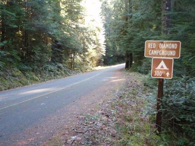
From Blue River, OR, travel 4 miles east on Highway 126 to Aufderheide Drive (Forest Service Road 19). Turn right and proceed south on Aufderheide Drive, taking the Y and climbing to the top of Cougar Reservoir. Continue south on Aufderheide Drive for 13 miles to Red Diamond Group Campsite.
Phone
801-226-3564
Activities
FISHING
Keywords
REDD,WILLAMETTE NF -FS
Related Link(s)
Overview
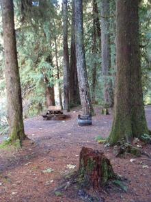
Camping groups looking for a more rustic riverside experience will enjoy Red Diamond in Willamette National Forest. The campground can accommodate up to 25 guests and provides plenty of shade for warm, summer days. The South Fork McKenzie River and many fishing holes can be accessed from the site. Hiking trails can be found in the surrounding area and the Cougar Reservoir is just a short drive north.
Recreation
Fishing and kayaking are popular activities on the river. Nearby is the Box Canyon Trail with excellent opportunities for mountain biking, hiking and horseback riding. Chucksney Mountain Trail, Grasshopper Mountain Trail and Roaring Ridge are also in the area.
Facilities
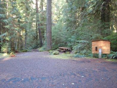
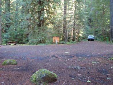
The campground is laid out on one loop with picnic tables, campfire rings and ample parking. Portable toilets and trash collection are provided. No water is available, so be sure to bring your own supply.
Natural Features
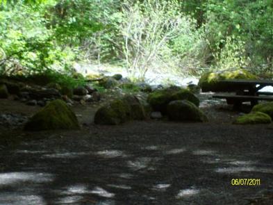
The campground is nicely shaded by Douglas fir, maple and alder trees, within the midsection of the Cascade Range in western Oregon. The South Fork of the McKenzie flows nearby. The McKenzie River is a tributary of the Willamette River that runs for 90 miles, flowing into the southernmost end of the Willamette Valley. The Willamette National Forest stretches for 110 miles with varied landscapes of high mountains, narrow canyons, cascading streams and wooded slopes.
Nearby Attractions
Head to the Three Sisters Wilderness Area to hike a part of the 260 miles of trail through 286,708 acres of wild, rugged mountains and meadows. There are also bike and horse trails within 10 miles of the campground.