Directions
From NH Route 16 in Conway, take NH route 112 (Kancamagus Highway) west for 14 miles. The cabin is on the right, a quarter mile before Passaconaway Campground.
From Interstate route 93 in Lincoln, take exit 32 for NH Route 112. At bottom of exit ramp, turn left (east) onto NH route 112. The cabin is approximately 20 miles on the left, a quarter mile after Passaconaway Campground.
Phone
603-447-5448
Activities
BIKING, HISTORIC & CULTURAL SITE, CAMPING, FISHING, HIKING, HUNTING, WINTER SPORTS, WILDLIFE VIEWING
Keywords
RADE,WHITE MOUNTAIN NF -FS
Related Link(s)
New Hampshire State Road Conditions
Overview
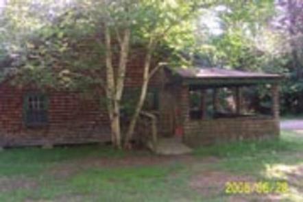
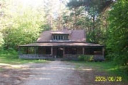
Radeke Cabin once served as a summer camp for School of Forestry students at the University of New Hampshire until the mid 1960s. It was purchased by the Forest Service in 1969.
The cabin is just off the Kancamagus Scenic Byway and easily accessible by car, but guests should be prepared to bring most of the gear and supplies needed to make their stay comfortable. Radeke Cabin offers an ideal year-round getaway for families or small groups.
Recreation
A trailhead for the UNH Trail is located at the Downes Brook parking area near the Passaconaway Campground, which is just a quarter mile from Radeke Cabin. The 4.8-mile loop takes hikers to the 2,520-foot summit of Mt. Hedgehog, where they can take in views of the surrounding mountains and the Swift River Valley. There are many other hiking trails along the Kancamagus Scenic Byway.
Anglers can fish for brook trout in the Swift River. Winter recreation enthusiasts will find numerous cross-country ski trails in the area.
Facilities
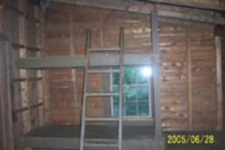
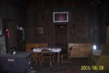
The cabin is rustic with limited amenities. Ten wooden bunks are divided into 3 rooms. A table, chairs, couch and a wood stove are provided, along with firewood from October 1 through June 1. An accessible pit toilet is located a short distance from the cabin. A campfire ring is outside. A wheelchair ramp is installed for accessibility.
No potable water, running water or electricity are available. Guests need to bring their own water, as well as garbage bags to pack out their trash. The firewood at the cabin is only for the indoor woodstove; guests must supply their own firewood for the campfire ring. Bedding, cooking equipment, matches, kitchen utensils and emergency supplies like flashlights and first aid kits are not provided.
Natural Features
The cabin sits in forest of pine and mixed hardwoods alongside the Swift River in the Saco District of White Mountain National Forest. This is an area particularly known for its fall colors and mountain views. The forest is a birder’s paradise, with 237 bird species. Common wildlife in the area include bobcats, coyotes, red and gray fox, deer, fishers, mink, pine marten, porcupine, raccoon, beaver and black bears ( bear safety information ). The resident moose are a star attraction for visitors lucky enough to see them.
Nearby Attractions
The Kancamagus Scenic Byway offers one of the most beautiful routes through New Hampshire’s White Mountains, especially during the fall foliage season. A trip across the “Kanc” is a highlight for most visitors to the White Mountain National Forest. Rushing rivers, a covered bridge and scenic vistas are part of the 34-mile trip.


