Directions
From Montpelier, take Highway 89 east for 7 miles. At the Montpelier Reservoir (Crow Creek Road)/ Forest Road 111, turn north and travel 13 miles to the guard station. Maps are available upon request at the district office.
From Afton, Wyoming, take Highway 89 south and turn right on WY 236 North. Drive for 2.6 miles and continue on to County Road 142/Fairview North Road. In less than a mile, turn left onto County Road 141/Crow Creek Road. Follow this road for 16.5 miles. The guard station is just off this road to the right.
Phone
208-847-0375
Activities
BIKING, CAMPING, FISHING, HIKING, HUNTING, WINTER SPORTS
Keywords
CLEC,CARIBOU-TARGHEE NF – FS
Related Link(s)
Overview
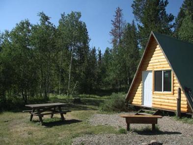
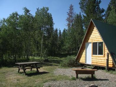
Clear Creek Guard Station is located 20 miles northeast of Montpelier, Idaho. Not much is known about the history of this guard station site, but it’s believed to have been an administrative site since 1910. Several different buildings have either been built or relocated to this site since then. The current A-frame cabin was built by the Young Adult Conservation Corps in 1980.
The cabin is accessible by car when there is no snow. Guests should be prepared to snowmobile in winter, and they are responsible for their own travel arrangements and safety. The snowmobile trip is about 5 miles from Crow Creek and 10 miles from Montpelier Reservoir.
The cabin provides some basic comforts, but guests will need to bring some of their own supplies and gear to make their stay comfortable.
Recreation
This area offers myriad recreational opportunities. Nearby trails attract mountain bikers, hikers and off-road vehicle enthusiasts (Idaho OHV safety message). Snowmobiling and cross-country skiing are popular winter activities.
Anglers can fish in Clear Creek. Hunting is available in season.
Facilities
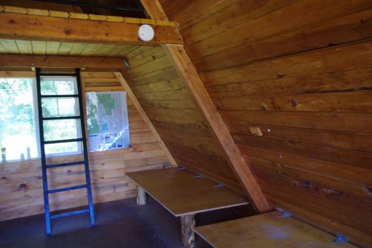
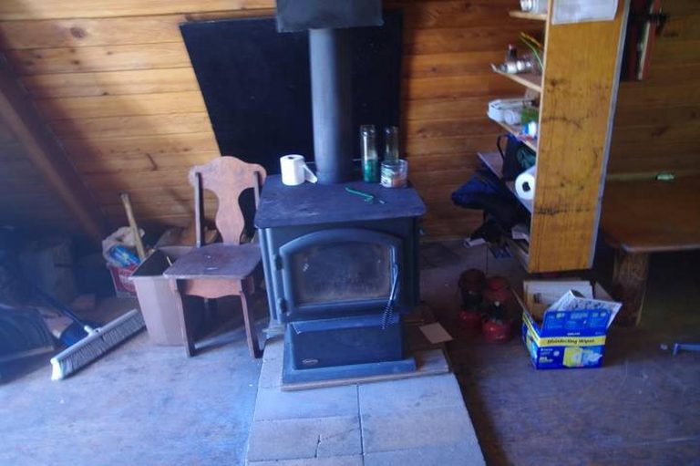
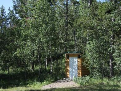
The guard station has a maximum capacity of 15 people. This single-room cabin has three single beds. Please bring your own sleeping pads and bedding. A wood stove is provided for heat and firewood may be available. A table and chairs are provided. An outhouse, picnic table and campfire ring are located outside.
Water is not provided at the cabin. Guests are required to bring their own water, as well as garbage bags for packing out trash. Lighting, a cook stove, cooking pots, kitchen utensils, bedding, towels and first aid supplies are not available.
Natural Features
Clear Creek Guard Station is tucked up against a mixed conifer and aspen forest at the edge of a meadow at an elevation of 6,500 feet. The cabin sits near the confluence of Crow Creek and Clear Creek. The surrounding landscape is rugged and mountainous. Area wildlife includes black bear, wolf, elk, moose, mule deer, bison, grizzly bear, mountain lion and pronghorn (bear safety tips).

