Directions
From the junction of Montana Highways 200 and 83 (locally referred to as Clearwater Junction), travel north on Highway 83 for approximately 15 miles to the town of Seeley Lake. Continue north on Highway 83 for 1 mile. The campground entrance is located on the west side of the highway.
Phone
406-677-2233
Activities
BIKING, BOATING, CAMPING, FISHING, HIKING, HUNTING, PICNICKING, WINTER SPORTS, WATER SPORTS, WILDLIFE VIEWING, DAY USE AREA, SWIMMING SITE, KAYAKING, CANOEING, BERRY PICKING, BIRDING, JET SKIING, AMPHITHEATER, ICE FISHING
Keywords
BILA,BIG LARCH,BIG CAMPGROUND,BIG,LARCH,LARCH CAMP,LOLO NF – FS
Related Link(s)
Overview
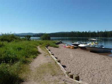
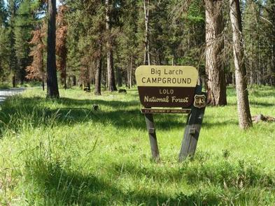
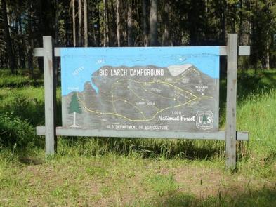
Big Larch Campground is located on the east shoreline of Seeley Lake. A great place to cool off on a hot day, it has a beach and a boat ramp, as well as ample shade for those who just want to relax and enjoy nature. The campground is a favorite of locals, with plenty of space for camping, picnicking and recreating on the water.
Recreation
The campground is in a great spot for boating and fishing. Anglers cast for a variety of freshwater fish, including Kokanee salmon, bass, whitefish, pike, trout and perch, among other species. Both motorized and non-motorized boats are permitted on the lake. Water skiing is a popular activity.
The Big Larch Nature Trail, a half-mile interpretive trail, begins in the campground and offers an educational look at the surrounding wilderness.
Facilities
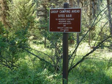
Two group camping areas are available for reservation at Big Larch Campground. Individual sites are available on a first-come, first-served basis.
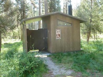
The group campsites can accommodate up to 25 people and about four tents each. Sites are equipped with tables and campfire rings with grills. Accessible vault toilets and drinking water are provided.
The campground also offers a day-use picnic area that provides access to a swimming beach, boat ramp and boat trailer parking. The area is equipped with tables and campfire rings, as well as accessible vault toilets, trash collection and recycling bins. Drinking water is also provided.
Natural Features
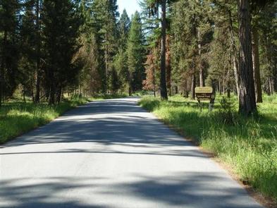
The campground is nestled in a mixed conifer forest, including plenty of tall larch and pine trees. While there is ample space between sites, the lack of understory makes for minimal privacy. At an elevation of about 4,000 feet, temperatures are pleasant throughout most of the summer months.
Nearby Attractions
The campground is a short distance from the Clearwater River Canoe Trail, which offers a prime location to witness the area’s spectacular birding and wildlife viewing opportunities in a scenic setting. The water trail is popular with canoeists and kayakers as it stretches 3.5 miles, or a couple of hours, down the river.

