
Directions
From Crockett, take State Highway 7 east for 15 miles. The recreation area is on the left between the towns of Ratcliff and Kennard.
Phone
936-655-2299
Activities
BOATING, HISTORIC & CULTURAL SITE, CAMPING, FISHING, HIKING, DAY USE AREA, SWIMMING SITE, KAYAKING, CANOEING
Keywords
RATC,NFs IN TEXAS -FS
Related Link(s)
Overview
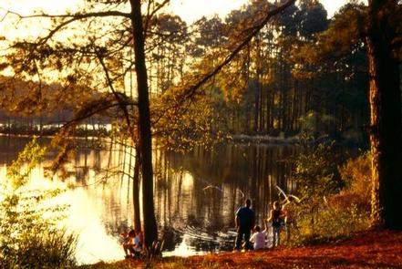
Ratcliff Lake Recreation Area was built in 1936 by the Civilian Conservation Corps. It surrounds a picturesque 45-acre lake that was once a log pond and a source of water for the Central Coal and Coke Company sawmill which operated from 1902 to 1920.
The facility is open year-round and includes a large campground, picnic areas, a reservable amphitheater, a swim area and many opportunities for outdoor recreation. Camping is available year-round.
The Davy Crockett National Forest, named for the legendary pioneer, contains more than 160,000 acres of East Texas woodlands, streams, recreation areas and wildlife habitat. Located in Houston and Trinity Counties, the forest is centrally located within the Neches and Trinity River basins.
Recreation
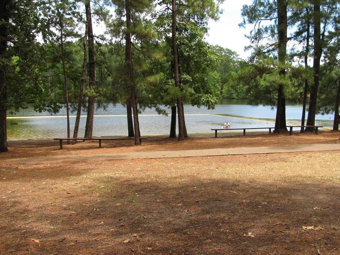
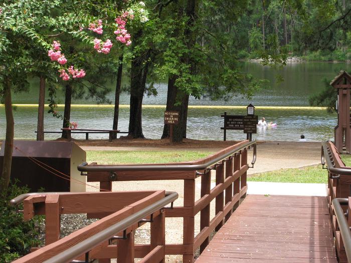
Swimming, fishing, hunting, hiking and picnicking are the area’s main activities. The designated swimming area and playground provides much fun for the kids (no lifeguard on duty).
Fishing piers are available for anglers to try for largemouth bass, bream and channel/blue catfish. Only electric motors are allowed on the lake. Principal game for hunting on the national forest includes squirrel, deer, quail, dove, turkey and waterfowl.
Three main hiking trails can be accessed from the facility: the 1.5-mile Tall Pines, 0.75-mile Trail Tamers and the 20-mile Four C, which winds through many types of forests to a scenic overlook.
Learn more about recreation in the national forest.
Facilities
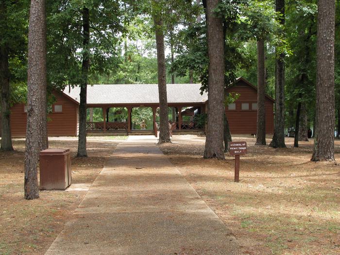
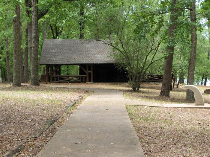
Ratcliff Lake has 56 campsites, both first-come, first-served and reservable. Campsites in Dogwood Loop have electrical hookups and can accommodate vehicles up to 50 ft. Flush toilets, hot and cold showers and trash bins are also provided. Two picnic shelters and an amphitheater are also reservable.
The day-use area has 17 single family picnicking units, a swimming area, flush toilets, two wooden fishing piers, one earthen pier, one fishing platform and a boat ramp.
Natural Features
The campground is heavily forested with loblolly pine, oak and other hardwoods, and surrounds Ratcliff Lake. A wide variety of wildlife exists in the area, including the endangered red-cockaded woodpecker.
Nearby Attractions
The Big Slough Wilderness Area, located along the Neches River about five miles north of Ratcliff, is free of modern development and gives the visitor a place for solitude and primitive experiences.