

Directions
From Troy, Montana, take US Highway 2 west for 9.5 miles to Yaak Highway 508. Follow Yaak Highway 508 for 30 miles north to the town of Yaak. Follow Yaak 92 approximately 7 miles to the junction with Upper Ford Road 8025, stay to the right. The cabin is approximately 300 yards from this junction and is located on the right-hand side of the road.
Phone
406-295-4693
Activities
HISTORIC & CULTURAL SITE, CAMPING, FISHING, HIKING, HUNTING, WINTER SPORTS
Keywords
UPFO,KOOTENAI NF – FS
Related Link(s)
Overview
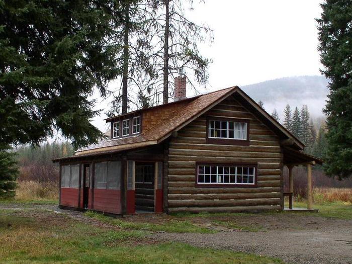
The Upper Ford Ranger Station is situated near the Yaak River at an elevation of 2,984 feet within the Rocky Mountains in Kootenai National Forest. This remote cabin was built in 1926 and was at the heart of the Upper Ford Ranger District until 1942, when it was combined with the Yaak Ranger District and became a remote work center.
The cabin is open year-round and is accessible by car. Several amenities are provided, but guests will need to bring some of their own supplies and gear.
Recreation
Fishing in the Yaak River and nearby streams can yield a variety of trout, as well as kokanee salmon, mountain whitefish, large scale sucker and long nose dace. Big game hunting is also possible in the area.
Northwest Peaks Scenic Area, which is located in the very northwest corner of the Yaak Area, offers several hiking trails. Equestrian trails are near the cabin.
Winter brings skiing, snowmobiling and snowshoeing opportunities for all experience levels.
Facilities
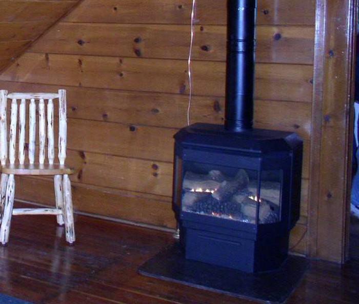
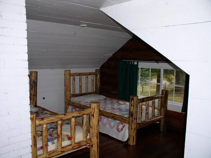
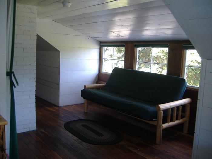
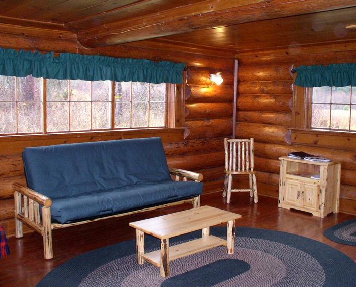
This 900 square foot cabin can sleep up to 10 and comes furnished with 1 queen bed with mattress, 2 twin beds with mattresses and 1 double futon upstairs. A double futon and single futon are located downstairs. Other amenities include a propane stove, refrigerator, propane heater, table with benches, chairs, table settings for 8, kitchen tools and cleaning gear.
An outhouse with vault toilet is located nearby. Across the road is a horse corral.
Electricity and potable water are not available. Guests must bring enough water for drinking, cooking and washing.
Items such as bedding, lanterns or flashlights, matches, first aid supplies, garbage bags, dish soap, dish towels and dish cloths are not available. Guests are expected to pack out all trash and clean the cabin before leaving.
Natural Features
The cabin is situated on the slope of Clark Mountain in the Purcell Range above the Yaak River drainage. The Yaak River and its many tributaries provide habitat for a variety of trout. The Yaak area is heavily forested and features several lakes scattered at varying elevations.
The area is home to grizzly bears, wolves, elk, deer and a variety of smaller mammals and birds (bear safety).