Directions
The Holland Lake Campground and Group Site is located 7 miles south of Condon, Montana, and 20 miles north of Seeley Lake, Montana, off state Highway 83.
From Highway 83, turn east on Holland Lake Rd. and travel 3.5 miles to the intersection with Owl Creek Loop Road. Follow Holland Lake Road to the left and the entrances to the group site and campground are a short distance down the road.
Phone
406-752-7924 FOR RESERVATIONS CALL: 1-877-444-6777
Activities
BIKING, BOATING, CAMPING, FISHING, HIKING, WATER SPORTS, WILDLIFE VIEWING, SWIMMING SITE
Keywords
HOLA,HOLLAND LAKE,HOLLAND GROUPSITE,HOLLAND LAKE CAMPGROUND,FLATHEAD NF – FS
Related Link(s)
Overview
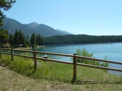
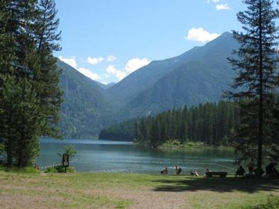
The Holland Lake Campground and Group Site are located on the shores of Holland Lake in the Swan Valley of northwest Montana.
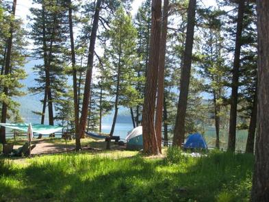
Holland Lake Campground is a great place to enjoy the Flathead National Forest. It offers clean campsites with great lake access and ample opportunities for hiking on the scenic Holland Falls National Recreation Trail.
Recreation
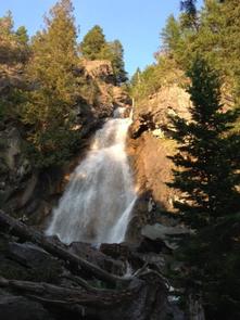
The trailhead for the popular and easy Holland Falls National Recreation Trail is near the campground. The 1.6-mile trail climbs 750 feet, following the shoreline of Holland Lake to the base of Holland Falls waterfall. Holland Lake provides visitors with plenty of access to water-related recreation. Boating is popular on the lake, as well as water skiing and fishing. Anglers can look forward to catching a variety of trout and Kokanee salmon. Paddleboards, Kayaks and Canoes are available for rent for $10/hr., $25/4 hrs. or $40/8hrs.
Facilities
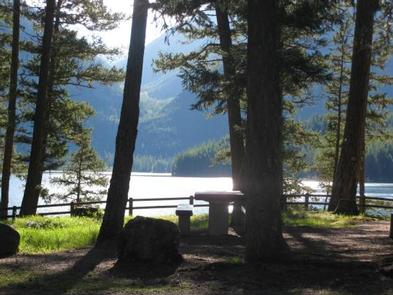
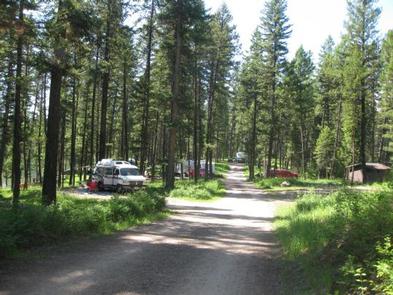
The campground offers 38 individual sites, a day use area and a group site, available for tent and RV camping. Some sites are available on a first-come, first-served basis. Each site is equipped with tables and campfire rings with grills. Parking areas are covered in gravel, dirt or grass. Vault toilets and drinking water are provided. A boat ramp to the lake, as well as boat trailer parking, is also available. There are no electricity or sewer hookups at the campground, however, there is a dump/fill station within 1/4 mile of the campground. The campground also has day use picnic areas equipped with tables and grills. They are near the lake and provide access to the lake’s gravel beaches.
Natural Features
At an elevation of 4,050 feet, the campground sits among Tamarack, Ponderosa pine and Douglas fir trees. There are some sites close to the 416-acre lake; others are further back or higher on the bank. A variety of wildlife, including grizzly and black bear, make their home in the area.
Nearby Attractions
The campground is 25 miles north of the charming town of Seeley Lake.
Charges & Cancellations
Cancellations made within 14 days of arrival will be “considered” for a refund, by the concessionaire, of Camping fees only and will automatically forfeit the first nights fee. Day of Arrival cancellations must be turned in by calling 1-877-444-6777, then followed up with a call to Cheryl at 406-752-PWAI (7924) or 406-404-4164 to get the information to the campground and to be considered for any refund. No shows have no chance of refund.

