

Directions
From Sierraville, travel south on Highway 49 for 18 miles. Turn right at Bassett and continue just over a mile to the Sardine Lake turnoff. Turn right at Packer Lake/Forest Road 93 and continue to the campground.
Phone
(530)478-6253
Activities
BIKING, BOATING, CAMPING, FISHING, HIKING, HUNTING, WILDLIFE VIEWING
Keywords
DILO,TAHOE NF – FS
Related Link(s)
California State Road Conditions
Overview
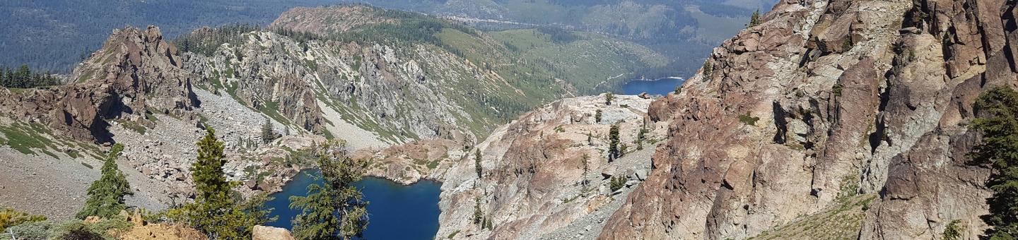
Diablo Campground is located in the Packer Lake area near the Sierra Buttes, in northern California. It is north of the Yuba River and next to Packer Creek. Visitors enjoy a wide variety of recreational activities in the area, including hiking, biking, hunting, fishing and canoeing. This facility is operated and maintained by the Tahoe National Forest.
Recreation
A large network of trails is available in this area including the Pacific Crest Trail which can easily be accessed from the trailhead adjacent to the nearby Packsaddle Campround. Hikers can reach a variety of alpine lakes, which offer plentiful fishing. Canoeing opportunities are available at Packer Lake.
Facilities
The campground offers single-family, tent campsites on two loops. Each site is equipped with a picnic table and campfire ring. Vault toilets are provided.
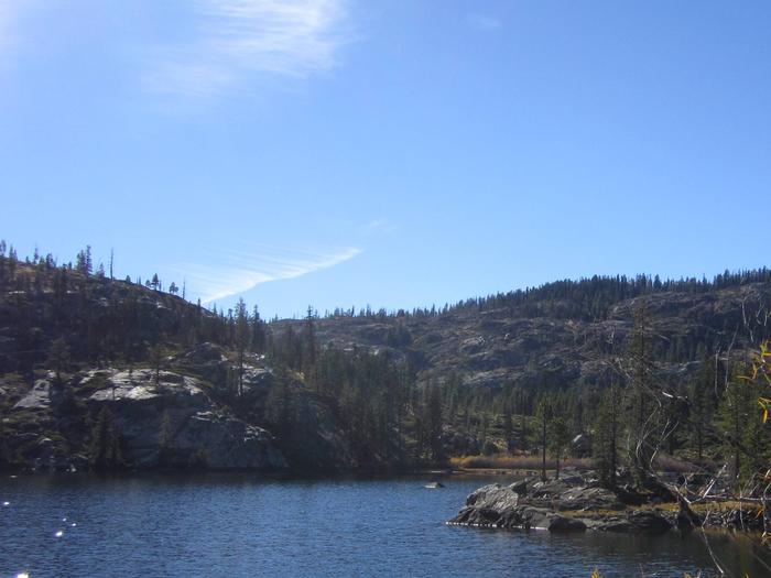
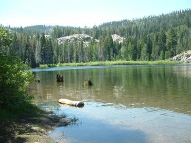
Natural Features
The campground lies near the banks of Packer Creek. Stands of lodgepole pine provides partial shade at many sites.
Nearby Attractions
The Lakes Basin area offers boating, fishing, hiking and more than 30 miles of maintained trails, that are also open to biking and horseback riding. The lakes provide visitors with ample opportunities to enjoy boating, canoeing and fishing. Anglers will find rainbow and brook trout in many of the scenic bodies of water in the area. A boat ramp is located at Gold Lake.