
Directions
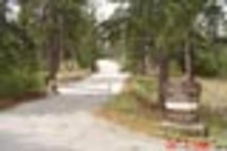
From Interstate 210 in La Canada, exit onto the Angeles Crest Highway (HWY 2) and drive northeast for approximately 10 miles to the intersection of the Angeles Crest Highway and the Angeles Forest Highway (County Road N3). Turn left (north) on to the Angeles Forest Highway and drive approximately 12 miles to the Santa Clara Divide Road at Mill Creek Summit. Turn left (west) onto the Santa Clara Divide and continue for about 11 miles to the campground.
Phone
818-899-1900
Activities
CAMPING, HIKING, HORSEBACK RIDING
Keywords
LTPT,ANGELES NF – FS,litening point,lightening
Related Link(s)
California State Road Conditions
Overview
Lightning Point Group Campground is closed until further notice. Lightning Point Campground is conveniently located 25 miles southeast of Palmdale and 35 miles north of the San Fernando Valley. The campground is nestled in a forest of Jeffrey pine, scrub oaks and manzanita and can accommodate both groups and equestrian campers. Hiking on the Pacific Crest National Scenic Trail is a favorite pastime for many campers. The trail, which is accessed nearby, weaves all the way from Canada to Mexico with views of six out of the seven ecozones found in North America.
Recreation
Hiking, bird watching and horseback riding are the biggest attractions for campers. Angeles National Forest boasts 557 miles of hiking and equestrian trails. All trails, excluding the Pacific Crest Trail, allow mountain biking as well.
Facilities
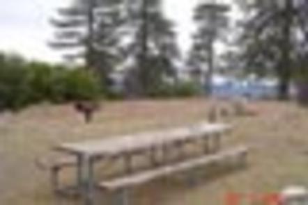
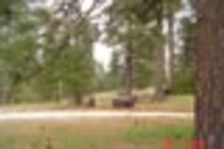
The peaceful campground has six group campsites that can accommodate a total of 240 campers. Two of the sites are designed for horse camping.
Sites 5 and 6 have six horse corrals each, but horses are not required to reserve these sites.
All sites have group-sized tables. Added features include horse corrals, large gathering areas, and a short and easy nature trail.
No toilets or water is available. Visitors must bring their own portable toilets and take all components with them upon departure.
Natural Features
At 6,100 feet elevation, the area receives average summer temperatures in the low 80s with cool nights.
In Angeles National Forest, vegetation ranges from chaparral and oak at lower elevations to pine at higher altitudes. Elevation ranges from 1,200 to 10,000 feet of low canyons and tall mountain peaks.
Nearby Attractions
Hop in the car and drive along the Angeles Crest Highway, a scenic byway that meanders through oak thickets, chaparral, high desert landscapes and pine tree forests.