NORTH FORK (CA), CA Campground Reservation, Info, Images, Map, Directions

NORTH FORK (CA), California Campground Images, Info & Reservations

Directions

From east bound Interstate 80 take exit 158A or west bound Interstate 80 take exit 158B south to Emigrant Gap. After exiting the interstate take a right on Texas Hill Road towards Emigrant Gap. Continue on Texas Hill Road for about 6.5 miles and turn right into the campground.

Phone

530-265-4531

Activities

CAMPING, FISHING, HIKING, HUNTING, SWIMMING, WATER ACTIVITIES

Keywords

NOFR,TAHOE NF – FS

Related Link(s)

Rec Area Info & Images

California State Road Conditions

California State Tourism

Overview

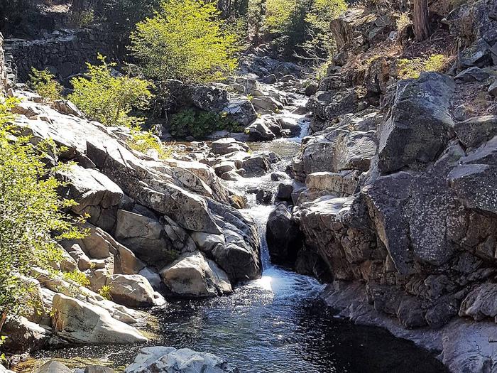
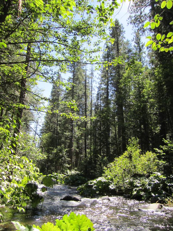
North Fork Campground is located along the North Fork of the North Fork American River in the Tahoe National Forest, off of Interstate 80, at the Emigrant Gap Exit. Visitors enjoy fishing and swimming in this scenic area.

Recreation

A great swimming hole is located a short walk from the end of the campground, on the river. Rainbow trout fishing is a popular activity enjoyed by visitors to the campground. Hiking trails and hunting opportunities are found in the surrounding area.

Facilities

The campground offers single-family sites, a few of which are designated for tent camping only. Each site is equipped with a picnic table and campfire ring. Vault toilets and drinking water are provided.

Natural Features

The campground is near the beautiful creek-sized river, in a remote location. It is shaded by cedar, pine and fir trees and is a pleasant escape from urban life.

Nearby Attractions

Many hiking, and OHV trails are located nearby as well as foot trail access into the North Fork American Wild and Scenic River canyon. Many more trails can be found a short distance east on Interstate 80 at Grouse Ridge Non-Motorized Area and Donner Summit.

Reservation

More from CampingHiking.net:

TWIN COVE POINT, Oklahoma Campground Images, Info & Reservations

Directions From Highway 11 in Barnsdall, Oklahoma, take a left onto West Chestnut Avenue and go 0.2 miles. Take a left on South Eighth Street and go 1.5 miles south. Take a right into the Twin Cove Point facility. Phone 918-847-2220 Activities BOATING, CAMPING, FISHING, HUNTING, SWIMMING SITE Keywords Related

CAPE HORN WINTER RENTAL, Idaho Campground Images, Info & Reservations

Directions The guard station it is less than two miles by skiing cross-country from State Highway 21 or approximately four miles by following the Stanley-Landmark Snowmobile Trail. If you are a first time renter, it is important to get detailed directions. To obtain these, click here or call the district

CHILATCHEE CREEK, Alabama Campground Images, Info & Reservations

Directions From Alberta, Alabama, take State Route 5. Turn onto Wilcox County Road 29 and travel southeast for 11 miles. Make a left on Chilatchee Creek Road and continue for 2 miles to the campground. Phone 334-573-2562 Activities BOATING, CAMPING, FISHING, HUNTING, VISITOR CENTER, WILDLIFE VIEWING Keywords CHIL,GEES BEND,ALABAMA RIVERS,MILLERS

ANTONE CABIN, Montana Campground Images, Info & Reservations

Directions From Dillon, travel about 40 miles southeast on Forest Road 202 (Blacktail Creek Road), to Antone Station turnoff. Turn north onto Forest Road 325 and continue about 6 miles to the cabin. During winter months, snowmobiles may be required for the majority of the drive, depending on conditions. Call