
Directions
From Cody, Wyo., follow Sheridan Avenue west through Cody until the road leaves town, and becomes Buffalo Bill Scenic Byway (U.S. Highway 14/16/20). The campground is 29 miles west of Cody, on the north side of the highway and next to the river. It is between Wapiti Campground and Horse Creek Picnic Area.
Phone
307-527-6921 – THIS NUMBER IS NOT FOR RESERVATIONS. FOR RESERVATION OR INQUIRIES ABOUT RESERVATION STATUS, GO TO RECREATION.GOV 1-877-444-6777
Activities
BIKING, BOATING, CAMPING, FISHING, HIKING, HORSEBACK RIDING, WILDLIFE VIEWING
Keywords
BIGG,SHOSHONE NF – FS
Related Link(s)
Overview
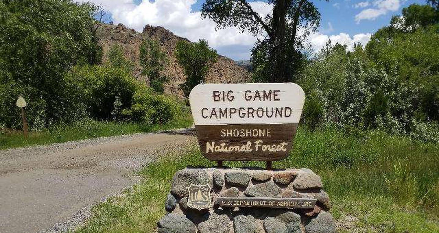
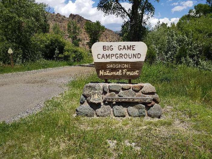
Big Game Campground is located along the Buffalo Bill Scenic Byway about 29 miles west of Cody, in northwestern Wyoming. It is 23 miles east of the east entrance to Yellowstone National Park. The surrounding area offers many outdoor recreational opportunities, including fishing, hiking and viewing local wildlife.
Recreation
Great opportunities for hiking, fishing, scenic driving and wildlife viewing are available around the campground. The North Fork of the Shoshone River is a popular fly-fishing location for rainbow and Yellowstone cutthroat trout.
The Wapiti Wayside is less than a half-mile east of the campground, and offers interpretive information on bears and other local wildlife.
Facilities
The campground offers single-family campsites, each equipped with a table and campfire ring. Vault toilets and trash collection are provided. Campers are allowed to gather firewood in the area. There is no water available at the campground.
Natural Features
The campground is situated among cottonwood and juniper trees, along the North Fork Shoshone River, at an elevation of 6,000 feet.
A wide variety of wildlife lives in the surrounding area. Visitors often glimpse grizzly bears, deer, elk, bison, moose, fox, coyotes and bald eagles.
Nearby Attractions
Pahaska Tepee, west of the campground, is home to Buffalo Bill’s original hunting lodge, built in 1904. Tours are offered daily between Memorial Day and Labor Day. Pahaska also offers guided horseback rides, a gift shop, restaurant and lodging.
Yellowstone National Park’s east entrance is 23 miles from the campground via the Buffalo Bill Cody Scenic Byway. The park offers unparalleled wildlife viewing opportunities, as well as breathtaking scenery and unique geological features.
The small, historic city of Cody offers a variety of dining, lodging and shopping options. The Buffalo Bill Historical Center offers extensive displays of Greater Yellowstone natural history, Plains Indians artifacts, western art, firearms, Buffalo Bill memorabilia and a wild sheep exhibit.