
Directions
From Shell Knob, take Highway 39 to Highway YY. Follow Highway YY 1 mile east to entrance on the right (south) side of the road.
Phone
417-683-4428
Activities
HISTORIC & CULTURAL SITE, HIKING, PICNICKING, DAY USE AREA, OBSERVATION SITE
Keywords
SHLK,MARK TWAIN NF -FS
Related Link(s)
Missouri State Road Conditions
Overview
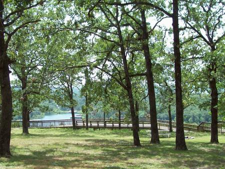
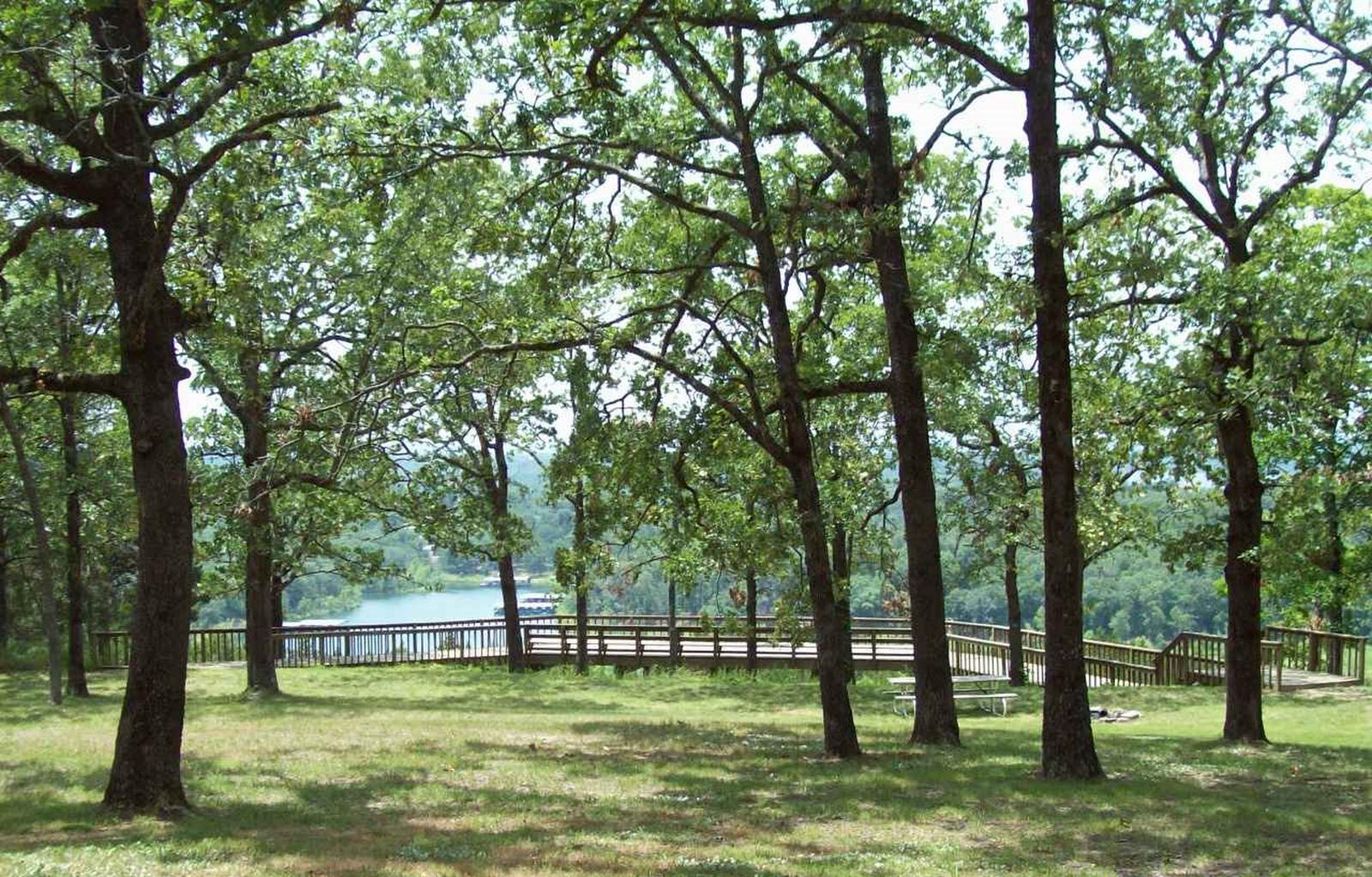
Shell Knob Recreation Site is situated along a bluff overlooking the White River arm of beautiful Table Rock Lake, in an unincorporated portion of Shell Knob. It is a great location to relax and enjoy being away from it all. The site can best be described as resembling a city park with a view. Even though it is near numerous subdivisions, Shell Knob is an unincorporated community.
Recreation
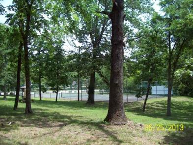
A tennis court, sand volleyball court, a double horseshoe pit and a playground are available. A short walking trail leads to a scenic overlook of Table Rock Lake.
Facilities
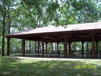
The site includes a lighted pavilion with kitchen facilities, numerous picnic tables and two parking areas. Accessible vault toilets are provided. Drinking water is available only during warm weather months. Only the pavilion can be rented, not the entire site. There is no stove or refrigerator available in the kitchen. There is a sink with hot/cold water available in kitchen. Grill is available outside for use. When picking up key at Harter House for gate and kitchen, a $25 deposit is required and will be refunded when key is returned to Harter House.
Natural Features
The pavilion was once the site of Civilian Conservation Corps camp, which operated from 1936 to 1942. Several historic features are still visible within the site. The surrounding area is heavily wooded and provides scenic forest views.
Nearby Attractions
Table Rock Lake, which offers all kinds of recreational opportunities, is adjacent to the Shell Knob Recreation Site.