Directions
From Boise, travel north on Highway 55 to Banks. Turn east on the Banks-Lowman Highway and continue east for 8 miles toward Garden Valley. Turn north on Middle Fork Road (Forest Road 698) and pass through Crouch, continuing north on the Middle Fork Road approximately 16 miles to Silver Creek Road (Forest Road 671). Turn northeast on Silver Creek Road and continue 8 miles to the campground.
Phone
208-739-3400
Activities
BIKING, CAMPING, FISHING, HIKING, HUNTING, WILDLIFE VIEWING, OTHER RECREATION CONCESSION SITE
Keywords
Silver,Silver Creek,Silver Creek Plunge,Crouch,Garden Valley,Emmett Ranger District,Boise National Forest
Related Link(s)
Overview
Silver Creek Campground is located 25 miles north of Garden Valley, Idaho, in beautiful Peace Valley at an elevation of 4,490 feet. Peace Valley offers a variety of great trails. Fishing and hunting are popular activities as well.
Recreation
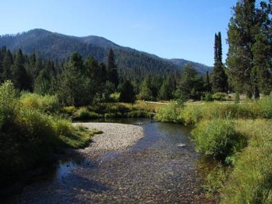
Peace Valley contains many trails for hiking, mountain biking, as well as horseback and OHV riding. Peace Creek Trail, Silver Creek Summit Trail, and Bull Creek Trail all begin nearby. Silver Creek, Peace Creek, and the nearby Middle Fork Payette River offer good-to-excellent fishing most of the year. Anglers in the area cast for whitefish and rainbow trout. In-season big game hunting for deer, elk and bear is a popular activity in the surrounding mountains.
Facilities
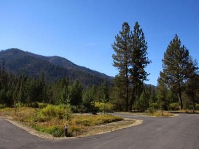
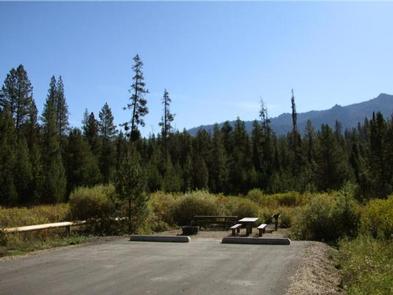
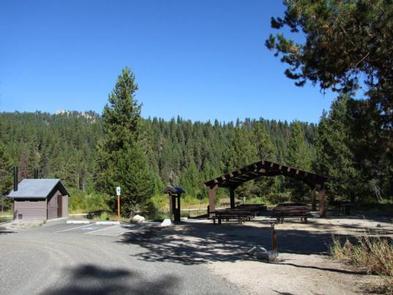
This campground offers paved roads and paved parking spurs, drinking water, and accessible vault toilets. Many single and double campsites are available, all of which are accessible. Each site is equipped with a tent pad, a fire ring, as well as picnic and utility tables. Two accessible group campsites are available with picnic shelters, multiple tables, campfire rings, grills, and ample parking. The Lodgepole Springs group site can accommodate up to 80 people, while the Cabin Creek group site can accommodate up to 100 people.
Natural Features
The campground is situated among a mixed-growth lodgepole pine forest, which provides partial shade. Silver Creek runs alongside the campground. A variety of wildlife makes its home in and around Peace Valley, including deer, elk, bald eagles, and red-tailed hawks.
Nearby Attractions
Silver Creek Plunge, a privately developed hot springs resort, is within a quarter-mile from the campground. It offers a hot springs pool, general store, concessions, a playground, horseshoe pits, as well as volleyball and basketball courts.


