
Directions
From Las Vegas, New Mexico, take State Highway 518 approximately 51 miles to the Agua Piera Campground.
From Penasco, New Mexico, travel east on State Route 75 about 5 miles, to an intersection. Turn right, onto State Route 518 (unmarked) and continue about 7 miles to campground entrance.
From Taos, head south on NM-68. Turn Left onto NM-518 and stay on it for 23 miles. Agua Piedra Campground will be on your right.
Phone
435-245-6521
Activities
CAMPING, FISHING
Keywords
AGUA PIEDRA GROUP SHELTER (NM)
Related Link(s)
New Mexico State Road Conditions
Overview
Agua Piedra, located in the Carson National Forest, is nestled near the Rio Pueblo and Agua Piedra Creek. The campground contains many shaded areas to camp, relax, and enjoy the outdoors.
Recreation
Visitors to the Agua Piedra campground and group shelters can also enjoy fishing in the Rio Pueblo River, which is a tributary of the mighty Rio Grande. The river is stocked with rainbow trout and has an accessible fishing dock. Hiking to Serpent Lake and Cordova Canyon, which are both within seven miles of the campground and group shelters, are also favorite activities for visitors. Also popular is further exploration of points of interest in the Pecos Wilderness, as well as within the Sangre De Cristos Mountains, the southernmost Rocky Mountain range.
Facilities
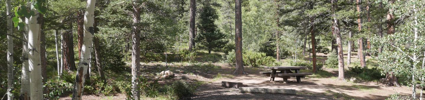
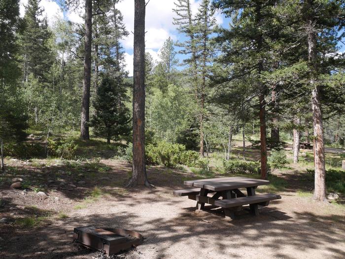
The campground includes 40 single sites each with a table and fire ring, two double sites each with two tables and a fire ring, and two group shelters located west of the campground. Vault toilets, drinking water from faucets, and trash removal are provided. Firewood is available to purchase from the host. First-come, first-served sites are available. The group shelters (A and B), which are accessible, are located west of the campground and are equipped with tables and campfire rings with grills. Accessible vault toilets and drinking water are provided. Trash service is provided in the campground. The accessible group shelter “A” can accommodate up to 50 people for overnight camping. Group shelter “B” can accommodate up to 100 people for overnight camping. Both group shelters are available by reservation.
Natural Features
Agua Piedra campground and group shelters are located in a mixed forest of spruce, fir and aspen trees, which provide some shade throughout the day. At an altitude of 8,100 feet, temperatures can cool off during the summer nights.
Nearby Attractions
Sipapu Ski Resort, the town of Vadito, and the town of Penasco is within 3 – 17 miles from the campground and group shelter. Most services are available in Taos, NM, 25 miles north of the campground or Espanola, NM, 45 miles southwest.