

Directions
Townshend Lake is located 19 miles north of Brattleboro, Vermont, on Vermont Route 30.
Phone
802-365-7703
Activities
BIKING, BOATING, CAMPING, FISHING, HIKING, WINTER SPORTS, WILDLIFE VIEWING, SWIMMING SITE, SWIMMING, SNOWMOBILE, KAYAKING, CANOEING, BIRDING, CROSS COUNTRY SKIING, RAFTING, WHITEWATER RAFTING, SNOWSHOEING, SLEDDING, SNOWMOBILE TRAILS
Keywords
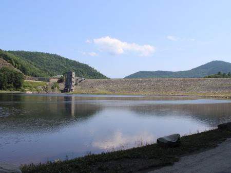
Townshend Dam
Related Link(s)
Overview
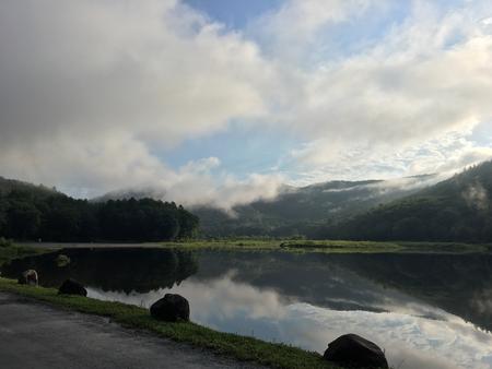
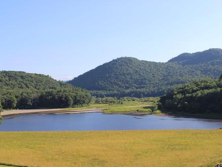
Townshend Lake is nestled in the Green Mountains of Vermont. Families from near and far come to enjoy the outdoor recreational opportunities the lake has to offer.
Recreation
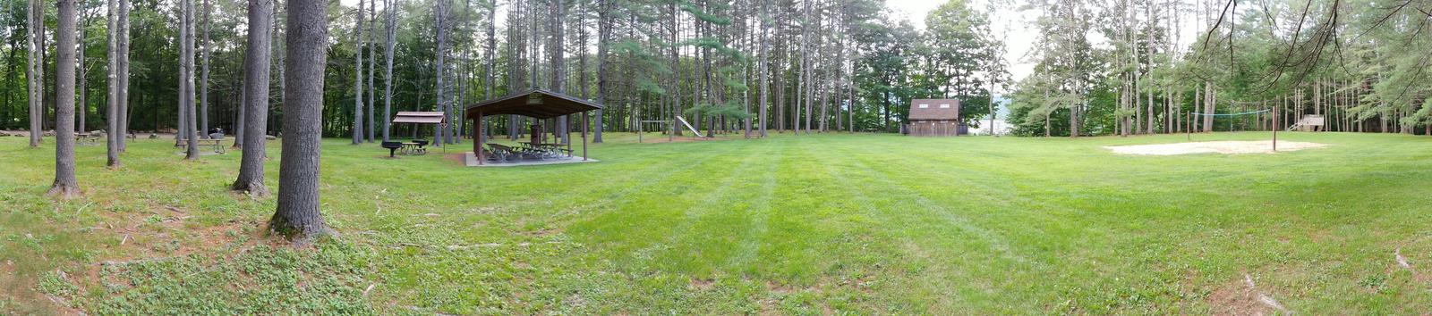
Townshend Lake offers ample recreation opportunities. A boat ramp provides access for canoeing, kayaking and small motor boats (10hp or less). The lake is stocked once a year with Rainbow Trout for the enjoyment of anglers. The three group shelters are surrounded by many individual picnic tables with BBQ grills for smaller groups to enjoy. The Ledges Overlook Trial offers stunning views of the Green Mountains along the 1.7 mile loop with Townshend Lake Nature Area a short drive up Route 30 offering access to the West River Trail.
Facilities
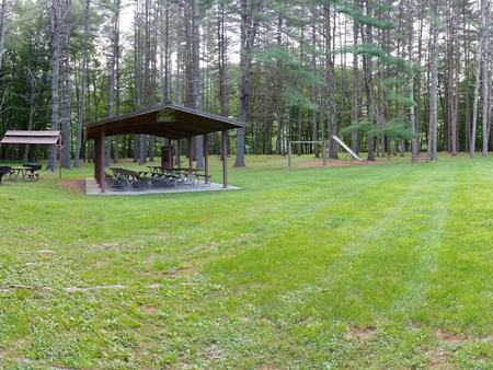
Within the recreation area, there are three large picnic shelters with electricity surrounded by individual picnic tables and grills available for use. There are also flush toilets, drinking water, playgrounds, volleyball courts, horse shoe pits, a swim beach and hiking trails available throughout the park.
Natural Features
The recreation area sits in the West River Valley behind the Townshend Dam on the shores of Townshend Lake. The picnic area offers many large trees for shade along with other sun-basked open areas.
Nearby Attractions
Townshend Lake Nature Area is located 2 miles north on Route 30. Scott Covered Bridge is located 1/4 mile south on Route 30.