

Directions
From Pinetop, Arizona, take Highway 260 east 60 miles to Highway 261 south. Follow Highway 261 south 20 miles to Forest Road 115 and turn south for 1 mile.
Phone
928-537-8888
Activities
CAMPING, PICNICKING
Keywords
APACHE TROUT CAMPGROUND (AZ),BIG LAKE
Related Link(s)
Overview
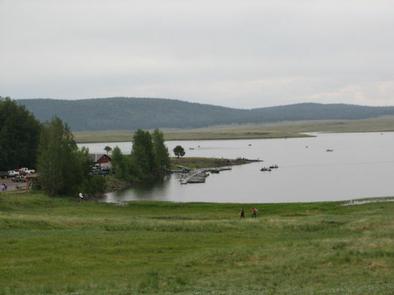
Apache Trout Campground is one of five campgrounds at the Big Lake Recreation Area in Apache-Sitgreaves National Forest, and is especially popular for group camping.
With boating and fishing facilities and a variety of amenities, Apache Trout is a convenient and comfortable place to stay. Plenty of open space, shaded forests and mountain scenery make for a pleasant outdoor experience.
Recreation
The Apache Trout facility is a short walk away from the 450-acre Big Lake, one of Arizona’s top fishing lakes. Big Lake is known for its trout fishing, with rainbow, cutthroat, brook and Apache trout being the most sought-after species. The recreation area is also popular for hiking, mountain biking, bird watching and wildlife viewing.
Facilities
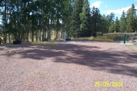
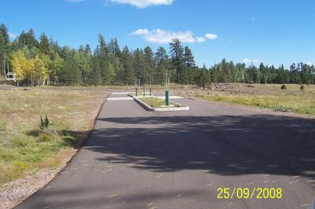
The campground is especially convenient for small to medium sized groups. Campsites are diverse and offer a wide range of options. There are 22 double sites, one group site that can accommodate 50 people, another that can hold 100 and more than 20 individual sites.
This is the only campground in the lake recreation area that has sites with full hookups. Flush toilets and showers offer additional convenience.
Natural Features
The campground sits at an elevation of 9,100 ft. in the White Mountains of eastern Arizona. It is a very scenic area, forested with ponderosa pine, Douglas fir, spruce and aspen interspersed with high elevation meadows.
Some campsites have shade, while others are mostly sunny. Summer temperatures are pleasant and cool, a nice respite from the heat of lower deserts.
Nearby Attractions
Visitors can explore endless vistas and take part in many outdoor activities in the surrounding Apache-Sitgreaves National Forest, which encompasses 2 million acres of magnificent mountain country in east-central Arizona and New Mexico.