
Directions
Physical Address:
Priest River, ID 83856
From I-90; Turn at Post Falls Highway 41 north to Newport, WA. Take Highway 2 east to Priest River. At the junction of Highway 57 and Highway 2, turn left. Drive 26 miles to Outlet Bay Road. Turn right for approximately 0.5 mile. Turn left on Lake Shore Road. Proceed 0.5 mile to Outlet Campground on the right.
Phone
435-245-6521
Activities
BIKING, BOATING, CAMPING, FISHING, HIKING, WATER SPORTS, SWIMMING SITE, CANOEING
Keywords
OUTLET AT PRIEST RIVER,OUTLET,PRIEST RIVER
Related Link(s)
Overview
Outlet campground is located on the southwest shore of Priest Lake at the headwaters of Priest River. Campers come to Outlet for sunshine, fishing, boating, kayaking, and the breathtaking views of the rugged Selkird Mountains of the Idaho Panhandle National Forests.
Recreation
Visitors enjoy kayaking, canoeing, and power boating on Priest Lake and up the 3.5 mile thoroughfare that leads to the Upper Priest Lake Scenic Area. The upper lake cannot be accessed by car. Fishing, swimming, bird and wildlife viewing are popular activities, as well. Beach Trail #48 runs through Outlet campground and stretches northward along an 8-mile scenic part of Priest Lake. Off-highway vehicle enthusiasts will find authorized trails like the Peewee Trail, Steep Creek Trail, and John Wayne Trail. Hike the Chipmunk Rapids Trail that traverses along the Kaniksu Marsh, Priest River, and Chipmunk Rapids.
Facilities
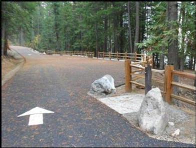
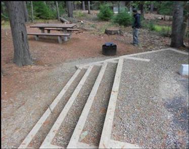
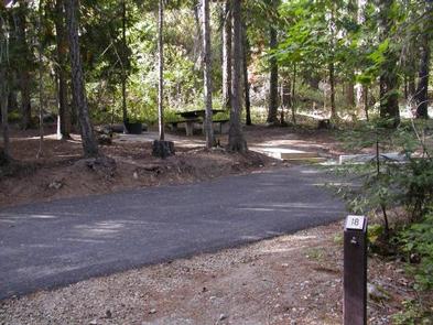
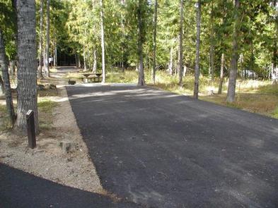
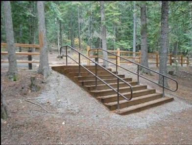
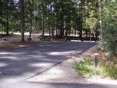
Outlet campground has three loops, two upper view sections and one lower lake-side section. Roadways and parking spurs are fully paved. There are RV and tent sites (two of which are walk-in tent sites). Campsites vary from very large, capable of parking an RV and a boat trailer, to small, camper size, with lake side and lake view sites. Some of the sites are heavily wooded, while some are found in opened areas.
Campground amenities include swimming beach, water hydrants and accessible flush toilets. Garbage service is available in â??bear proofâ?? cans. A public dump station is located 5-miles south of the campground, at Upper Luby Bay, on Highway 57.
Natural Features
Outlet campground is situated at an elevation of 2,500 feet on Priest Lake. The lake is one of three largest and most beautiful lakes in the Idaho Panhandle, and reaches 300 feet in depth and covers 25,000 acres. The world’s largest Mackinaw trout was caught here in 1963.
Upper Priest Lake is part of the Upper Priest Lake Scenic Area. The entire shoreline of Upper Priest Lake is either the State of Idaho or federal ownership, and is administered as a scenic area.
While visiting Priest Lake, watch for moose, black bear, wolves, deer, elk, and eagles, among others.