GRAND ISLAND CABINS, MI Campground Reservation, Info, Images, Map, Directions

GRAND ISLAND CABINS, Michigan Campground Images, Info & Reservations

Directions

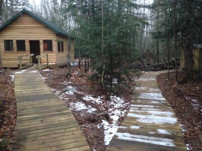
Beginning in fall and throughout winter, ferry service to the island is closed. Access to the island is only by personal watercraft, or, if the lake is frozen, access via foot or snowmobile. Please call ahead to find out if there is ice or open water. Crossing Lake Superior to get to Grand Island is at your own risk. Once on Grand Island, cabins can be accessed by hiking, biking, skiing, or use of snowmobile depending on the season. Sunset Cabin is located on the West Rim Trail approximately 3.6 miles from the island ferry landing.

Phone

906-202-1778

Activities

HISTORIC & CULTURAL SITE, CAMPING, FISHING, HUNTING, WINTER SPORTS, WILDLIFE VIEWING

Keywords

Sunset Cabin,Hiawatha National Forest,Grand Island Recreation Area,Grand Island Lodging,Merchant Cabin,Munising

Related Link(s)

Rec Area Info & Images

Michigan State Road Conditions

Michigan State Tourism

Overview

Grand Island Cabins are remotely located on forested Grand Island, surrounded by Lake Superior, 1/2 mile off the mainland community of Munising, Michigan. The cabins are placed in individual settings providing an excellent base for hiking, biking, and other outdoor activities.

Recreation

Recreation opportunities include: kayaking, biking, hiking, fishing, swimming, beachcombing, and hunting.

Facilities

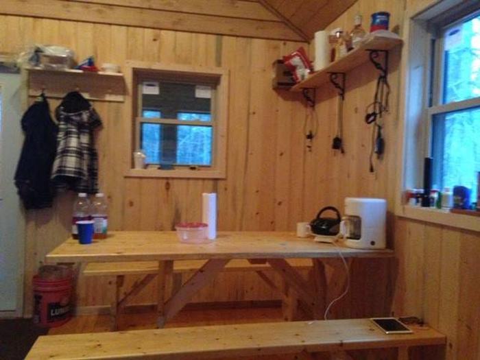
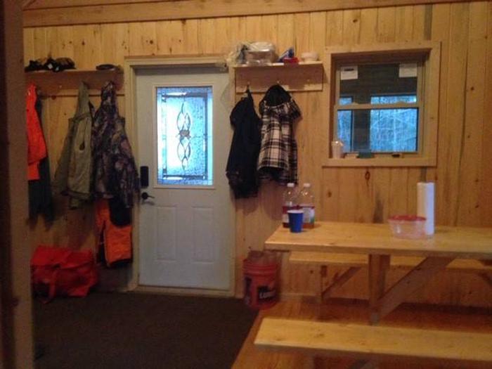
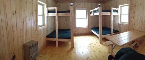
Each cabin is 14′ x 16′ with an attached 8′ x 14′ screened in porch and offers four full size beds, bunk bed style. Maximum sleeping capacity is eight people per cabin. Picnic table and campfire ring with cooking grate are located just outside each cabin.

Natural Features

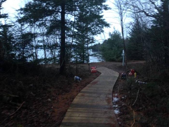
The cabins sit amidst a forest of old-growth trees within walking distance of Lake Superior. Grand Island’s scenic natural beauty and interesting history make it an attractive place to spend your vacation. The island’s miles of trails provide ample opportunity to view wildlife, picturesque sunsets, and enjoy pristine beaches.

Nearby Attractions

Lake Superior is the largest body of fresh water in the world. It is the coldest, cleanest, and deepest of the five Great Lakes. The lakes’ clear water enables viewing of several shipwrecks from in a boat.

Reservation

More from CampingHiking.net:

MCCLINTIC POINT, Virginia Campground Images, Info & Reservations

Directions From Warm Springs, Virginia take US 39 west 12 miles to state route (SR) 600, turn left (south)on SR 600. Continue 10 miles on SR 600 (2.25 miles past entrance of Bolar Flat Marina) to the McClintic Point Sign. Turn right at the McClintic Point Sign. Phone 540-279-4144 Activities

EAGLE GLACIER CABIN, Alaska Campground Images, Info & Reservations

Directions Located 23 miles northwest of Juneau. Access by the Amalga trail, 5.5 miles to the cabin from mile marker 27.3 on the Glacier Highway. The trailhead is on the north end of Eagle River Bridge and follows upstream on north side of Eagle River. The cabin is also accessible

HORSFALL, Oregon Campground Images, Info & Reservations

Directions From Reedsport, Oregon, take Highway 101 south for 22 miles to the Horsfall Dunes and Beach road sign. Turn right and follow signs. From Coos Bay/North Bend, Oregon, take Highway 101 north for about 2 miles to the Horsfall Dune and Beach road sign. Turn left and follow signs.

JACK BAY CABIN, Alaska Campground Images, Info & Reservations

Directions Access to the site is by float plane or boat only. The flight is typically 15 minutes from Valdez or a 30 minutes from Cordova. To travel by boat is 20 miles from Valdez and 70 miles from Cordova. Tides influence travel to the cabin. Click here for local

THOMSON CAUSEWAY, Illinois Campground Images, Info & Reservations

Directions Take IL Route 84 to Thomson, Illinois. Turn west onto Main Street, then turn south onto Lewis Avenue. Phone 815-259-3628 Activities BIKING, CAMPING, FISHING, HIKING, HUNTING, DAY USE AREA Keywords THOS,MISSISSIPPI RV. RI,thompson Related Link(s) Rec Area Info & Images Illinois State Road Conditions Illinois State Tourism Overview Thomson

SIX MILE CREEK, Alabama Campground Images, Info & Reservations

Directions From Selma, Alabama, follow US-41 south for 9 miles. Turn right on County Road 139 and follow the signs into the campground. Phone 334-872-9554 Activities BOATING, CAMPING, FISHING, HUNTING Keywords SIXM,ALABAMA RIVERS,ROBERT F. HENRY,MILLERS FERRY LAKE,WILLIAM DANNELLY,ALABAMA RIV. – DAN Related Link(s) Rec Area Info & Images Alabama State