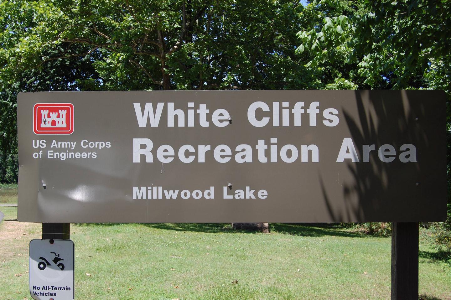
WHITE CLIFFS PARK, AR Campground Reservation, Info, Images, Map, Directions

WHITE CLIFFS PARK, Arkansas Campground Images, Info & Reservations

Directions

Located six miles south of Cowlingsville on State Highway 317.

Phone

870-287-4253

Activities

BOATING, CAMPING, FISHING

Keywords

Related Link(s)

Rec Area Info & Images

Arkansas State Tourism

Arkansas State Road Conditions

Overview

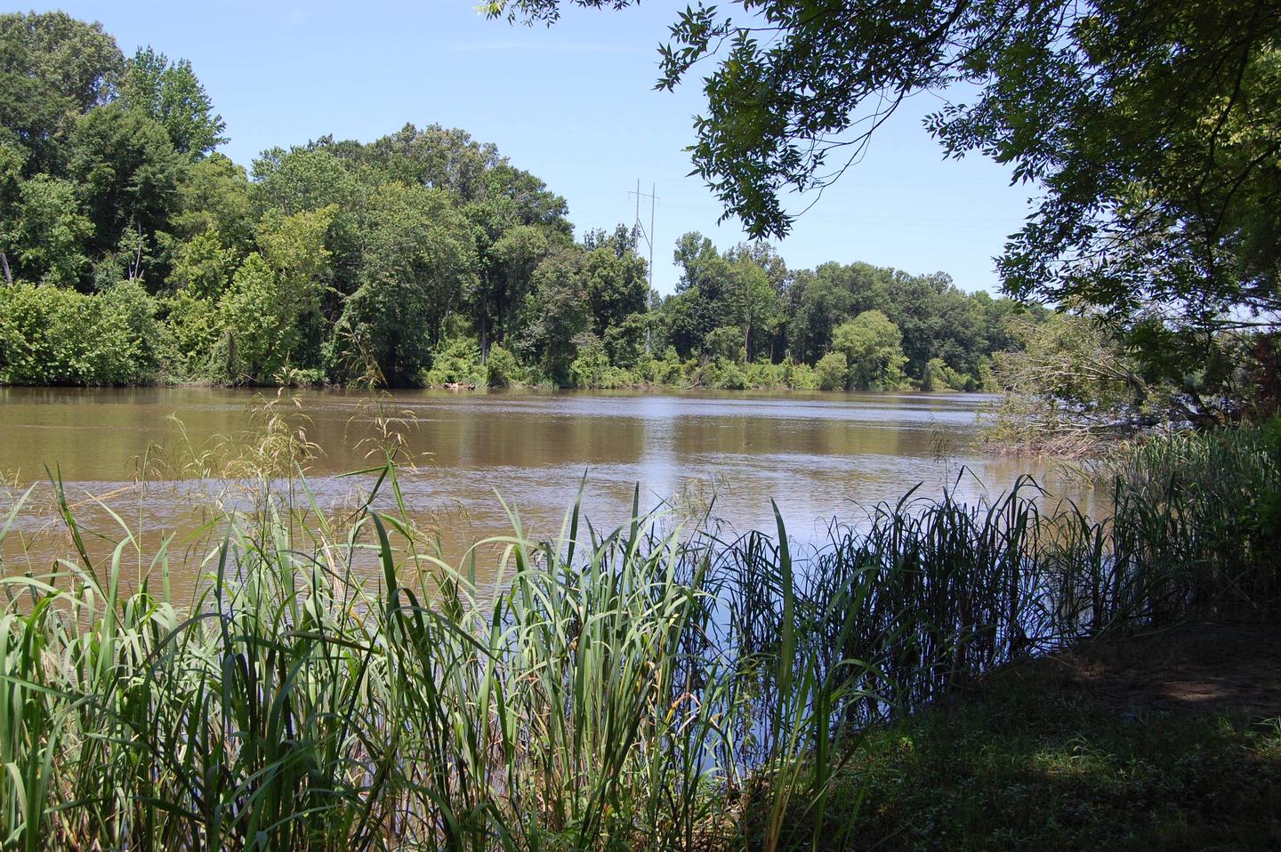
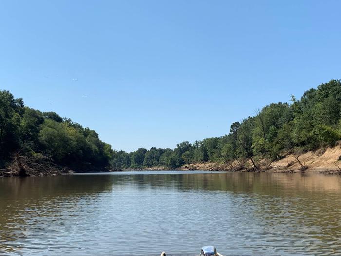
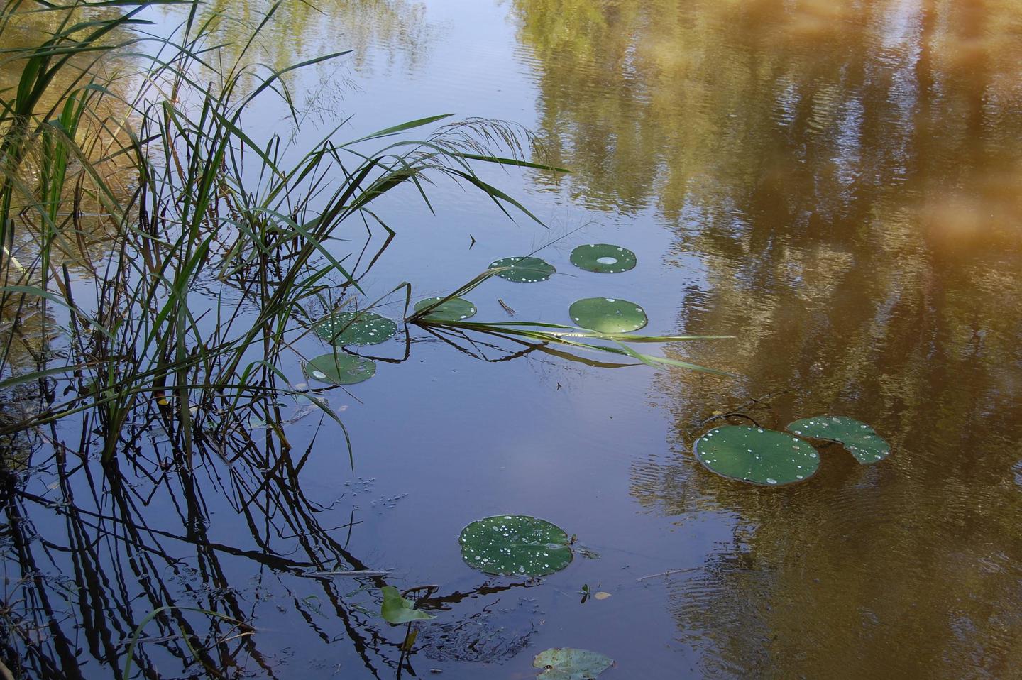
White Cliffs Campground is located on the east bank of the Little River feeding into Millwood Lake in southwest Arkansas.

Recreation

Visitors to this area enjoy fishing, duck hunting and relaxing in this peaceful campground. This area affords a great diversity of fish and wildlife habitat. Millwood Lake is one of the top fishing lakes in the country. Some 20,000 acres of submerged timber provide excellent fish habitat for a wide variety of fish including largemouth, white striped and spotted bass, channel and flathead catfish, bluegill, sunfish, buffalo carp and drum.

Facilities

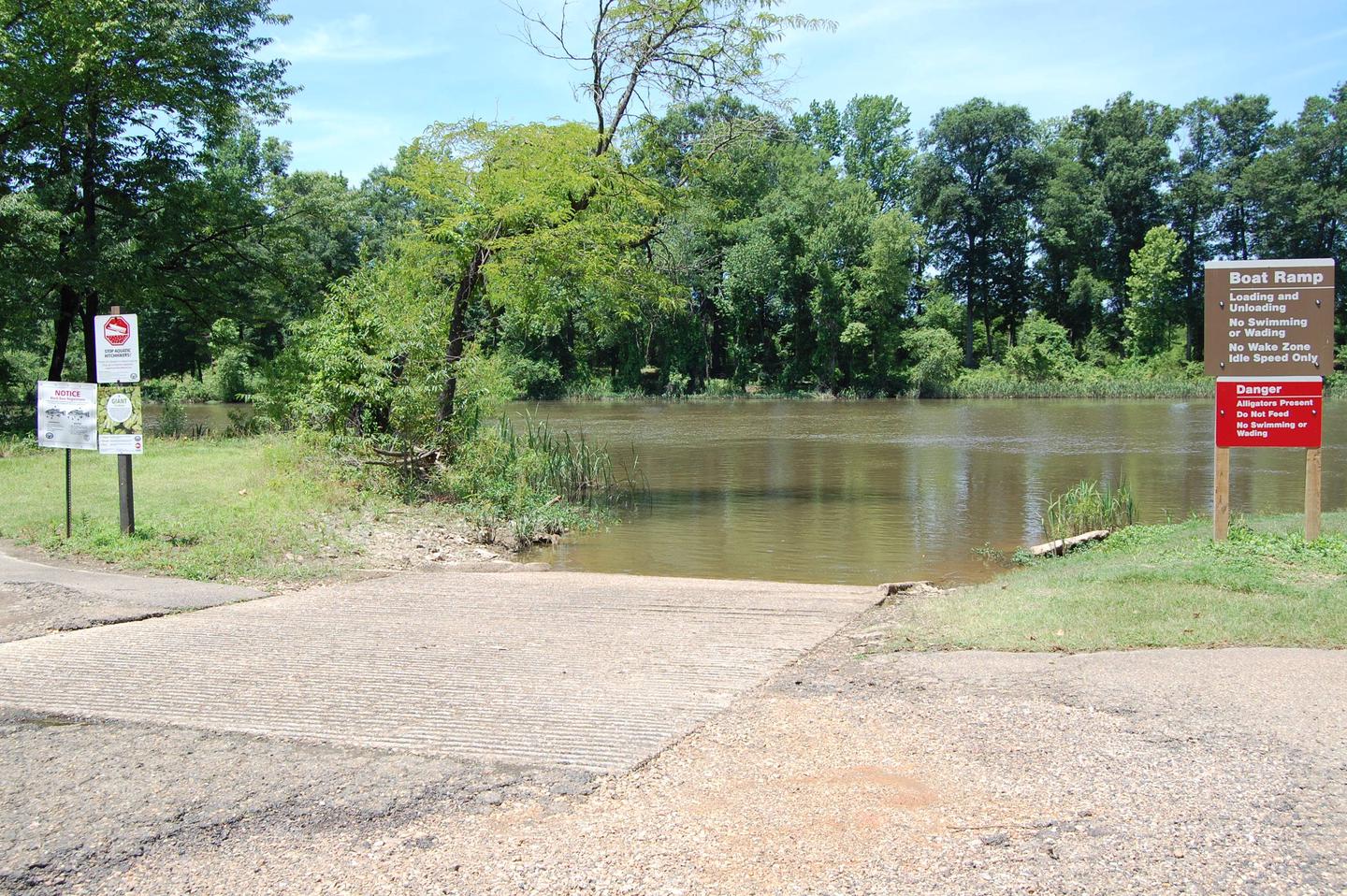
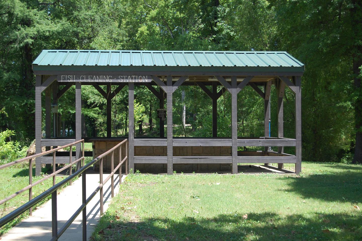
White Cliffs Campground offers 25 paved sites with water and electricity, flush toilets, showers, and a trailer dump station. Area amenities also include a boat ramp, bank-fishing access, a playground and adjacent protected natural area with hiking trail.

Natural Features

White Cliffs Campground is located on the Little River and within walking distance of White Cliffs Natural Area. The natural area includes a 100-foot high chalk bluff over the Little River, from which the area derives its name. The area includes the largest, and least disturbed Arkansas occurrences of chalk woodland. A nature trail meanders through unique topography characterized by knolls, ridges and ravines.

Nearby Attractions

Nearby towns include Ashdown and Nashville, Arkansas, and Texarkana, Texas.

Reservation

More from CampingHiking.net:

MCCREA BRIDGE, Idaho Campground Images, Info & Reservations

Directions From West Yellowstone, Montana, take Highway 20 south for 27 miles. Turn west at Elk Creek Service Station and travel 2 miles to the campground entrance. Phone 208-558-7658 Activities BOATING, CAMPING, FISHING, WATER SPORTS, WILDLIFE VIEWING Keywords MCCR,CARIBOU-TARGHEE NF – FS Related Link(s) Rec Area Info & Images Forest

Holter Lake Campground, Montana Campground Images, Info & Reservations

Directions From Great Falls, Montana take Interstate-15 South towards Helena. Take exit 234 to Craig. Turn left heading to Craig and cross river. Will come to a “T” and then take a right on Recreation Road. Travel approximately 5 miles. Before crossing the river/steel bridge, turn left onto Beartooth Road.

MAMMOTH POOL, California Campground Images, Info & Reservations

Directions From Fresno, California, take Highway 41 north. Turn northeast on Forest Road 200 and pass through North Fork. Take Minarets Road east, follow it 37 miles, turn right on Mammoth Pool Road and follow it 4 miles to Mammoth Pool Campground. Phone 559-642-3212 Activities BOATING, CAMPING, FISHING, HIKING, WILDLIFE

MYSTIC LAKE CABIN, Montana Campground Images, Info & Reservations

Directions There is no motorized access to this cabin. 1. Sourdough Canyon Trailhead: From Bozeman, MT. Drive south on S. 19th Ave. for 5.1 miles to Nash Rd. Turn left (east) onto Nash Rd. Drive 1.7 miles to Sourdough Canyon Road, turn right (south), and drive for 0.9 miles to