
Directions
From Tucson, take I-10 east for 139 miles to Road Forks, NM. Turn right (south) on US 80 and drive 28 miles to Portal Road. Turn right (west) and drive 7 miles through the town of Portal. Turn left on Forest Road 42 for approximately 1 mile. The Bunkhouse is the rock masonry building just past the Visitor Information Center.
Phone
(520) 364-3468
Activities
CAMPING, HIKING
Keywords
PORTAL BUNKHOUSE
Related Link(s)
Overview
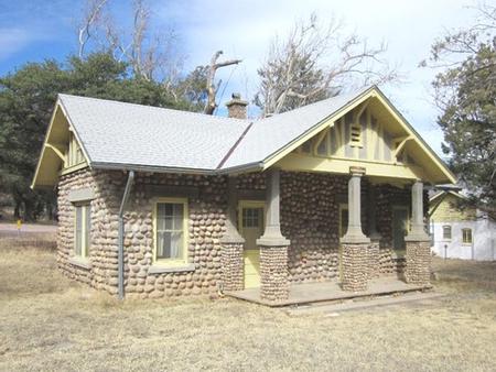
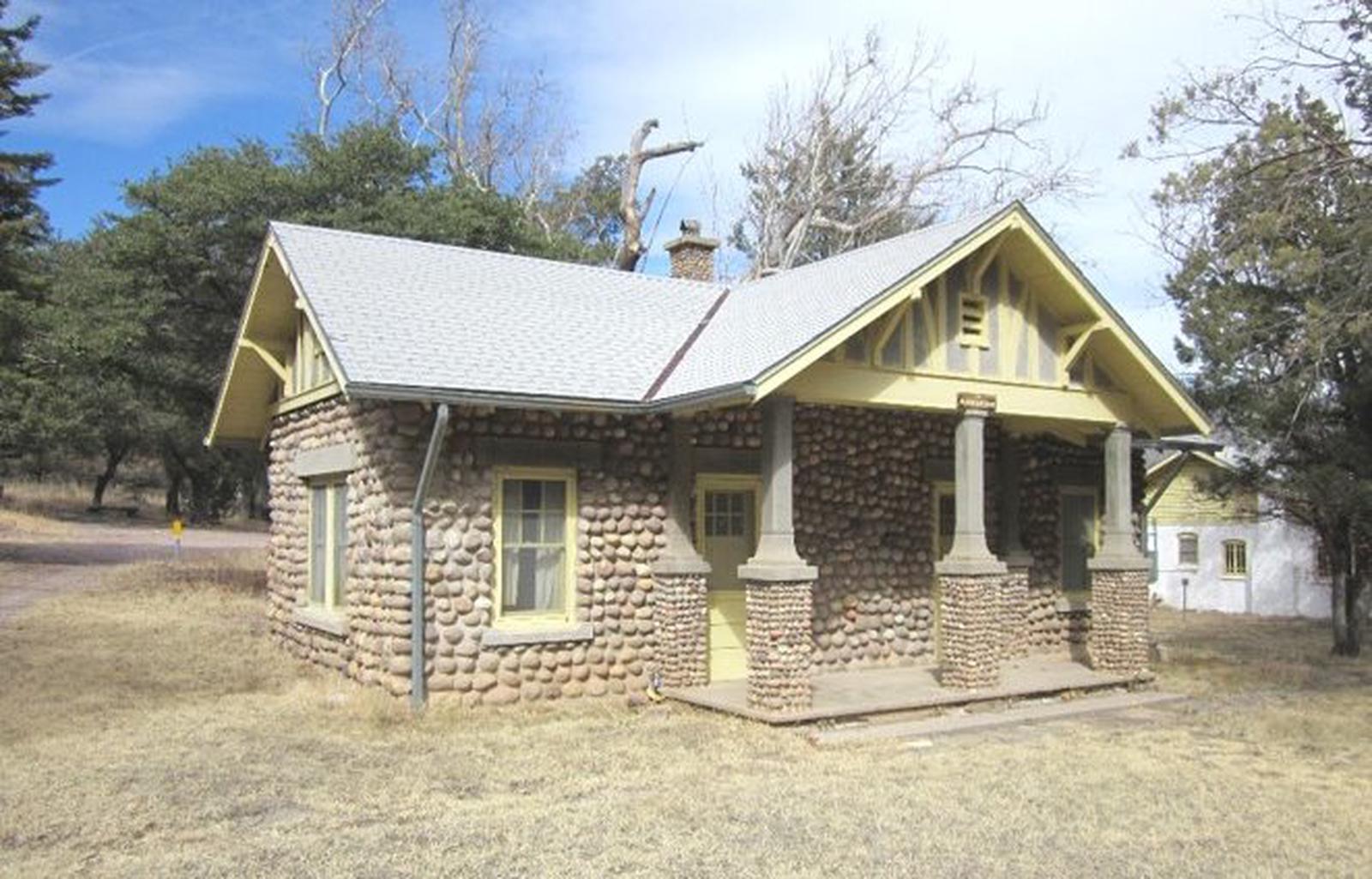
The Portal Bunkhouse is a two-room cabin located one mile west of Portal, Arizona. Constructed in 1933 by the Civilian Conservation Corps, the Bunkhouse is listed on the National Register of Historic Places. The structure is one of the finest remaining examples of river-cobble masonry construction from that era.
Recreation
Cave Creek Canyon is located on the eastern slope of the Chiricahua Mountains in southeastern Arizona, about 2.5 hours from Tucson. It is world-renowned for its dramatic rock formations and diverse wildlife. Birding is exceptional year-round, and particularly rewarding during the summer months. Hiking and rock-climbing are also popular activities, and picnic areas dot the canyon for its many hikers.
Facilities
The Portal Bunkhouse is a two-room cabin, suitable for up to four people. It has electricity, heater, and running water. The cabin has a bedroom with bathroom including a shower, sink, and toilet; and a kitchen with a dining area. The bedroom has a twin-over-double bunk bed and a single bed. A small dinette with seating for four is located in the kitchen, which is equipped with a stove, oven, microwave, refrigerator, and coffee pot. Pots, pans, utensils, and dishes are provided. Outside, guests will enjoy using the propane grill and picnic table for outdoor dining.
Although the cabin has amenities for comfortable lodging, guests will need to provide some of their own supplies, including food, sleeping bags or linens, pillows, towels, dish soap, matches, a first aid kit, toilet paper, and garbage bags. It is recommended that guests bring additional drinking water, and a flashlight in case of emergencies.
Natural Features
The Portal Bunkhouse is located at the entrance to Cave Creek Canyon at an elevation of 5,000 feet. The canyon’s soaring cliffs, with their caves and pinnacles, are often described as “Arizona’s ‘Secret’ Grand Canyon.” Cave Creek, a perennial stream, flows through the canyon nearby. The diverse wildlife that can be seen in the canyon include a stunning variety of bird species.
Nearby Attractions
The Portal Bunkhouse is located approximately 1 mile west of Portal, Arizona. Attractions in the area include Chiricahua National Monument, Fort Bowie National Historical Park, historic Camp Rucker, the Geronimo Surrender sites, and the International Border and the border community of Douglas, AZ.